MyTopo
Vredenburgh Alabama US Topo Map
Couldn't load pickup availability
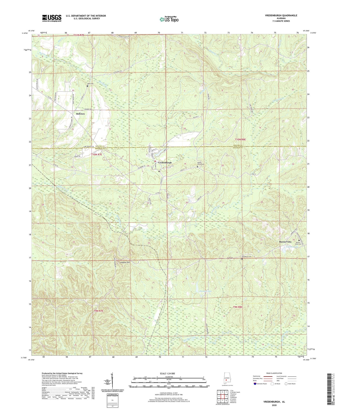
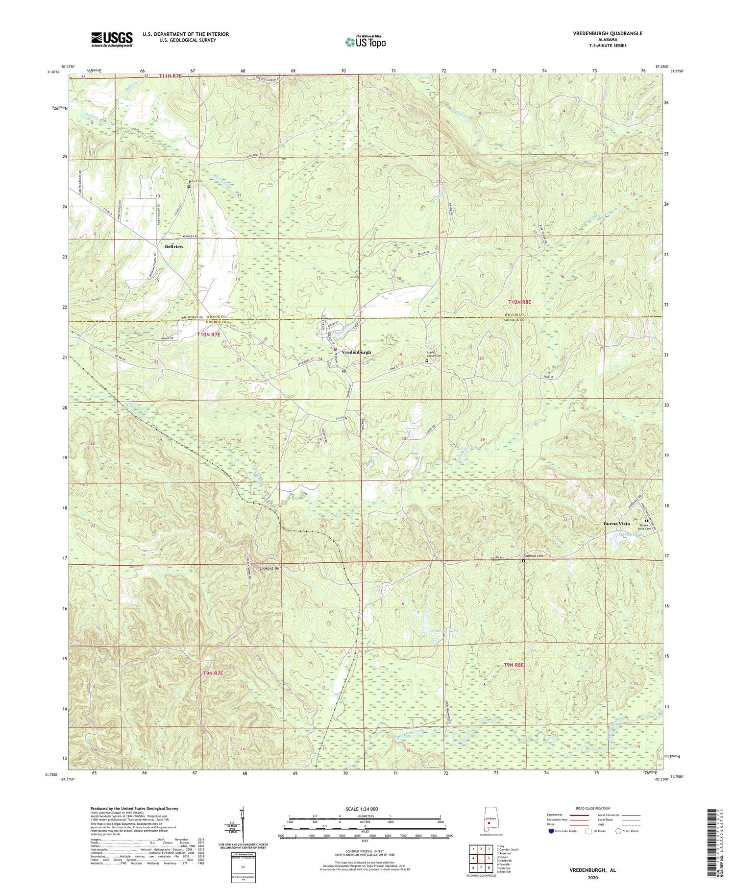
2024 topographic map quadrangle Vredenburgh in the state of Alabama. Scale: 1:24000. Based on the newly updated USGS 7.5' US Topo map series, this map is in the following counties: Monroe, Wilcox. The map contains contour data, water features, and other items you are used to seeing on USGS maps, but also has updated roads and other features. This is the next generation of topographic maps. Printed on high-quality waterproof paper with UV fade-resistant inks.
Quads adjacent to this one:
West: Hybart
Northwest: Coy
North: Camden South
Northeast: Rosebud
East: Nadawah
Southeast: Beatrice
South: Natchez
Southwest: Franklin
This map covers the same area as the classic USGS quad with code o31087g3.
Contains the following named places: Apple Grove Baptist Church, Apple Grove Cemetery, Basidonia Cemetery, Bellview, Buena Vista Cemetery, Concord Baptist Church, Dees Cemetery, Dry Creek, Finkleas Lake, Friendship Church, Friendship School, Glorious Holy Church, Immanuel Church, Lookout Hill, Lookout Hill Fire Tower, Macedonia Church, Magdalene Church, Mount Zion Baptist Church, Oak Grove School, Pine Lake Dam, Reeves Chapel, Shannon Lake, Shannon Lake Dam, Tallatchee Church, Town of Vredenburgh, Vredenburgh, Vredenburgh Junior High School, Vredenburgh Post Office, Vredenburgh Volunteer Fire Department, Waymon Chapel African Methodist Episcopal Church