MyTopo
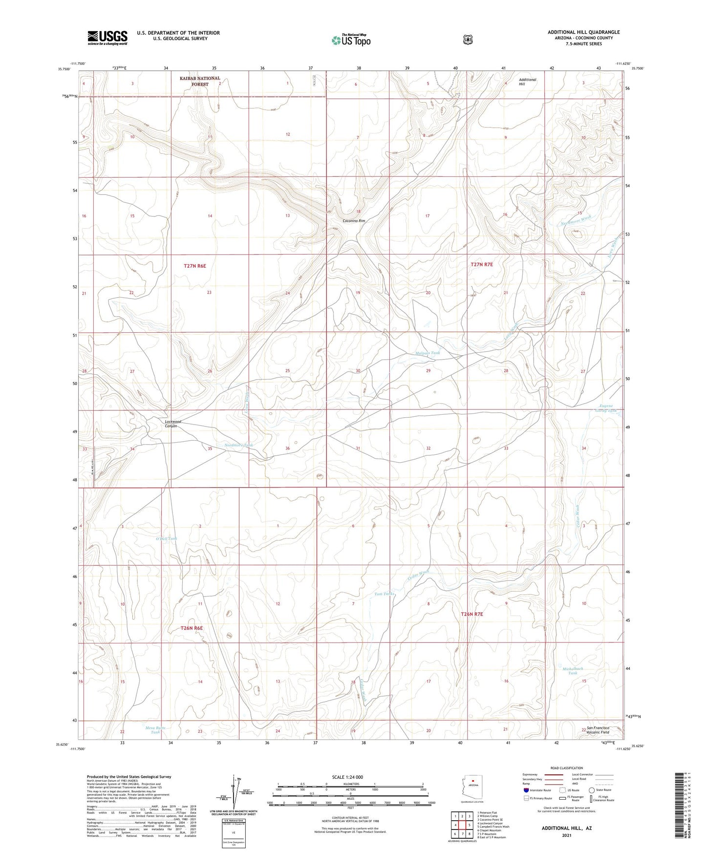
Additional Hill Arizona US Topo Map
Couldn't load pickup availability
Also explore the Additional Hill Forest Service Topo of this same quad for updated USFS data
2021 topographic map quadrangle Additional Hill in the state of Arizona. Scale: 1:24000. Based on the newly updated USGS 7.5' US Topo map series, this map is in the following counties: Coconino. The map contains contour data, water features, and other items you are used to seeing on USGS maps, but also has updated roads and other features. This is the next generation of topographic maps. Printed on high-quality waterproof paper with UV fade-resistant inks.
Quads adjacent to this one:
West: Lockwood Canyon
Northwest: Peterson Flat
North: Willows Camp
Northeast: Coconino Point SE
East: Campbell Francis Wash
Southeast: East of S P Mountain
South: S P Mountain
Southwest: Chapel Mountain
This map covers the same area as the classic USGS quad with code o35111f6.
Contains the following named places: Additional Hill, Eugene Gordy Tank, Lee Dam, Lockwood Canyon, Malpais Tank, Mesa Butte Tank, Michelbach Tank, Needmore Tank, O'Dell Tank, Tom Tanks