MyTopo
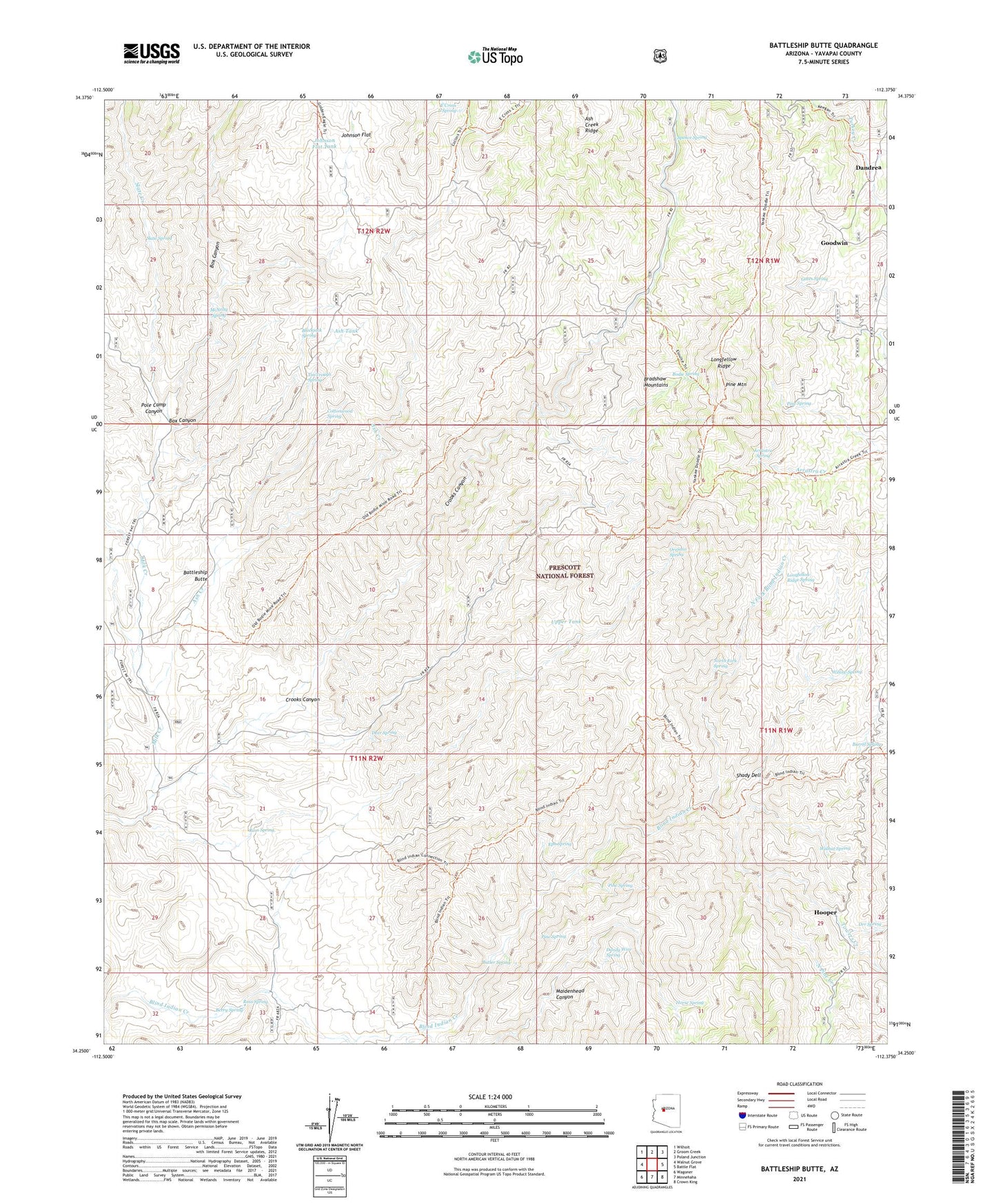
Battleship Butte Arizona US Topo Map
Couldn't load pickup availability
Also explore the Battleship Butte Forest Service Topo of this same quad for updated USFS data
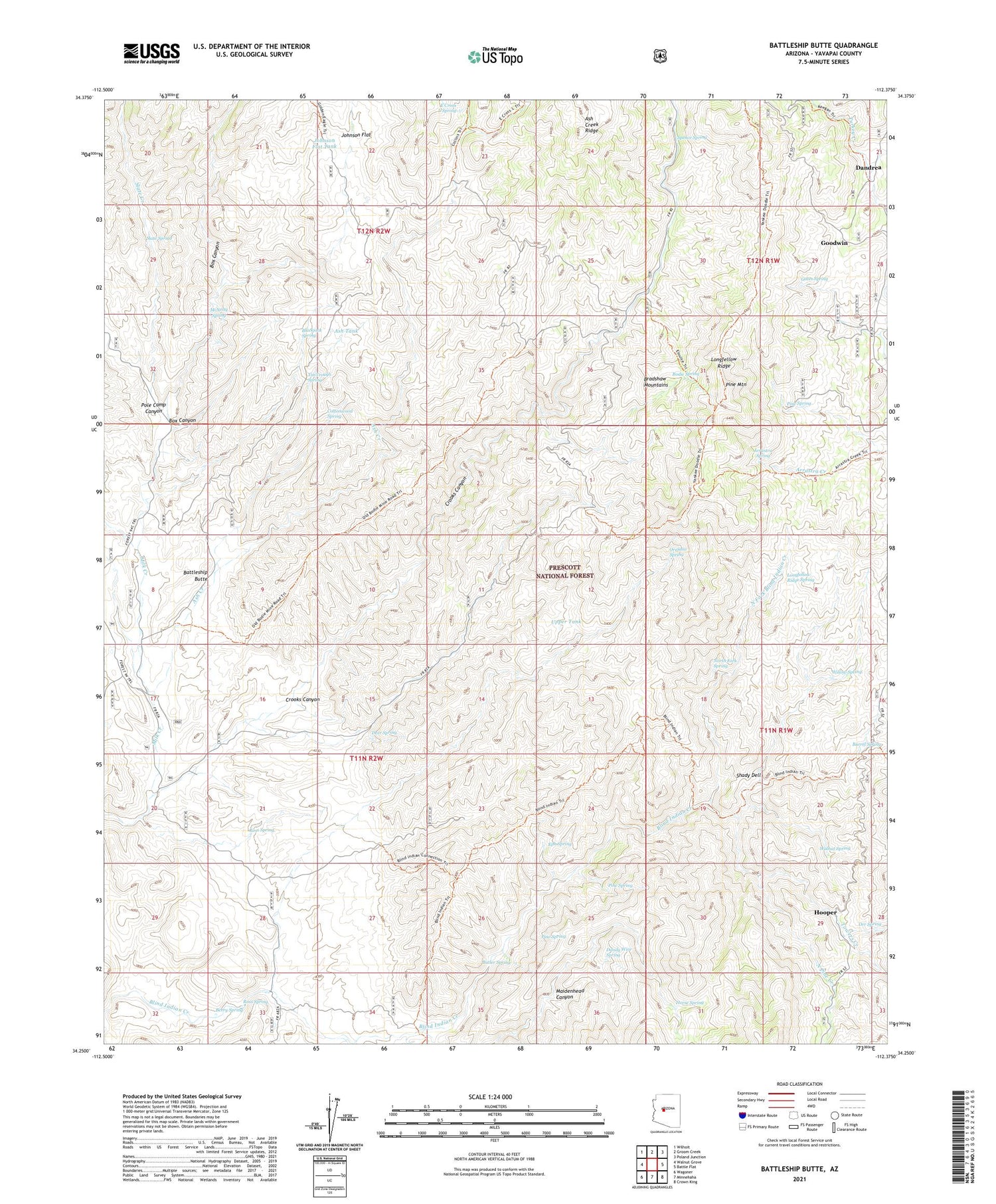
2021 topographic map quadrangle Battleship Butte in the state of Arizona. Scale: 1:24000. Based on the newly updated USGS 7.5' US Topo map series, this map is in the following counties: Yavapai. The map contains contour data, water features, and other items you are used to seeing on USGS maps, but also has updated roads and other features. This is the next generation of topographic maps. Printed on high-quality waterproof paper with UV fade-resistant inks.
Quads adjacent to this one:
West: Walnut Grove
Northwest: Wilhoit
North: Groom Creek
Northeast: Poland Junction
East: Battle Flat
Southeast: Crown King
South: Minnehaha
Southwest: Wagoner
This map covers the same area as the classic USGS quad with code o34112c4.
Contains the following named places: Arrastra Spring, Ash Creek, Ash Tank, Baldwin Place, Barrel Spring, Battleship Butte, Berry Spring, Blackjack Spring, Bodie Mine, Bodie Spring, Box Canyon, Butler Spring, Cottonwood Spring, Crooks Canyon, Dandrea, Dandy Wire Spring, Deer Spring, Deer Trick Tank, E Cross L Spring, Elouise Mine, Eph Spring, Gates Spring, Goodwin, Hooper, Horse Spring, Johnson Flat, Johnson Flat Tank, Longfellow Ridge, Longfellow Ridge Spring, Lower Tank, Maidenhead Canyon, McNary Place, McNelty Spring, North Fork Blind Indian Creek, North Fork Spring, North Pine Creek, North Tank, Orejano Spring, Orr Spring, Orr Trap Corral, Orr Trap Tank, P Bar Camp, Pine Mountain, Pine Spring, Pole Camp Canyon, Ross Spring, Shady Dell, Shipley Well, Slate Creek, Slate Spring, South Tank, South Trick Tank, Spence Spring, Tin Trough Spring, Towers Creek, Trails End Mine, Upper Tank, Walnut Spring, West Trick Tank, Willow Spring, Yankee Boy Mine


