MyTopo
Poland Junction Arizona US Topo Map
Couldn't load pickup availability
Also explore the Poland Junction Forest Service Topo of this same quad for updated USFS data
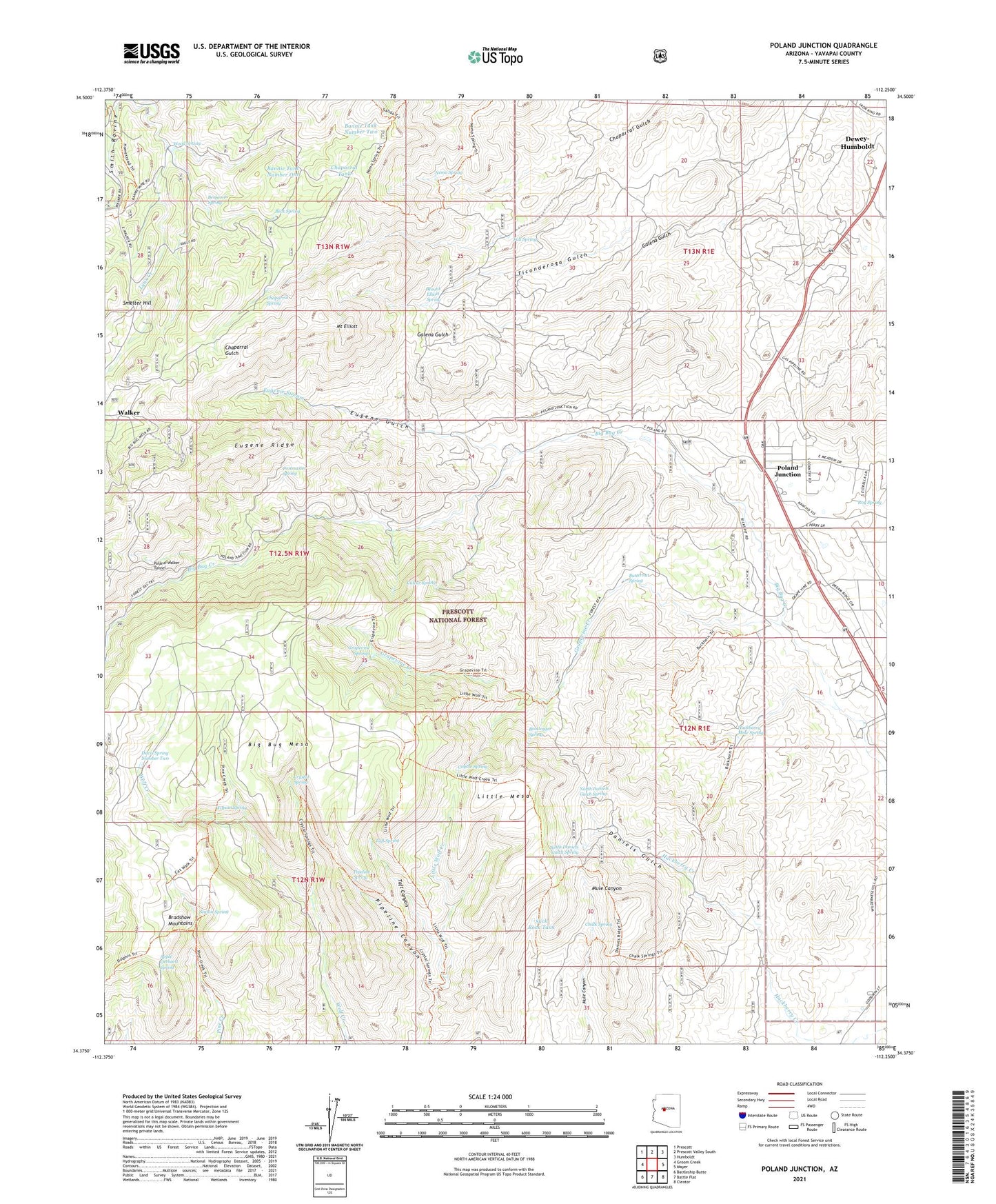
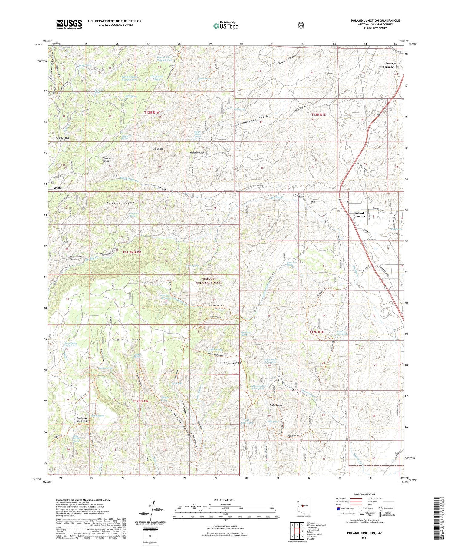
2021 topographic map quadrangle Poland Junction in the state of Arizona. Scale: 1:24000. Based on the newly updated USGS 7.5' US Topo map series, this map is in the following counties: Yavapai. The map contains contour data, water features, and other items you are used to seeing on USGS maps, but also has updated roads and other features. This is the next generation of topographic maps. Printed on high-quality waterproof paper with UV fade-resistant inks.
Quads adjacent to this one:
West: Groom Creek
Northwest: Prescott
North: Prescott Valley South
Northeast: Humboldt
East: Mayer
Southeast: Cleator
South: Battle Flat
Southwest: Battleship Butte
This map covers the same area as the classic USGS quad with code o34112d3.
Contains the following named places: Amulet Mine Dump, Apple Orchard Spring, Bannie Mine, Bannie Mine Dump, Bannie Tank Number One, Bannie Tank Number Two, Beck Spring, Benjamin Spring, Big Bug Mesa, Bootlegger Spring, Bradshaw Mountains, Breezy Pines, Buffalo Ranch, Butternut Mine, Butternut Spring, California Mine, Chalk Spring, Chaparral, Chaparral Spring, Chaparral Tank, Coyote Spring, Crystal Spring, Culver Spring, Daniels Gulch, Davis Spring Number Two, Eugene Gulch, Eugene Mine, Eugene Ridge, Eugenie Stream, Fall Spring, Grapevine Creek, Grapevine Springs, Hackberry Mine Dump, Hackberry Mine Spring, Henrietta Mine, King Benjamin Mine, Little Mesa, Monument Section Thirty Two Tank, Mount Elliott, Mount Elliott Spring, Nemo Spring, New Era Mine Dump, North Daniels Gulch Spring, Olson Place, Pine Creek Trail Number Two-hundred Eighty-nine, Pipeline Canyon, Pipeline Spring, Poland Junction, Poland Junction Substation, Poland-Walker Tunnel, Postmaster Spring, Red Rock Mine, Roy Spring, Seaton Spring, Slick Rock Tank, Smelter Hill, South Daniels Gulch Spring, Taft Canyon, Taft Spring, Ticonderoga Gulch, Walker Substation, Watson Spring, Wood Spring


