MyTopo
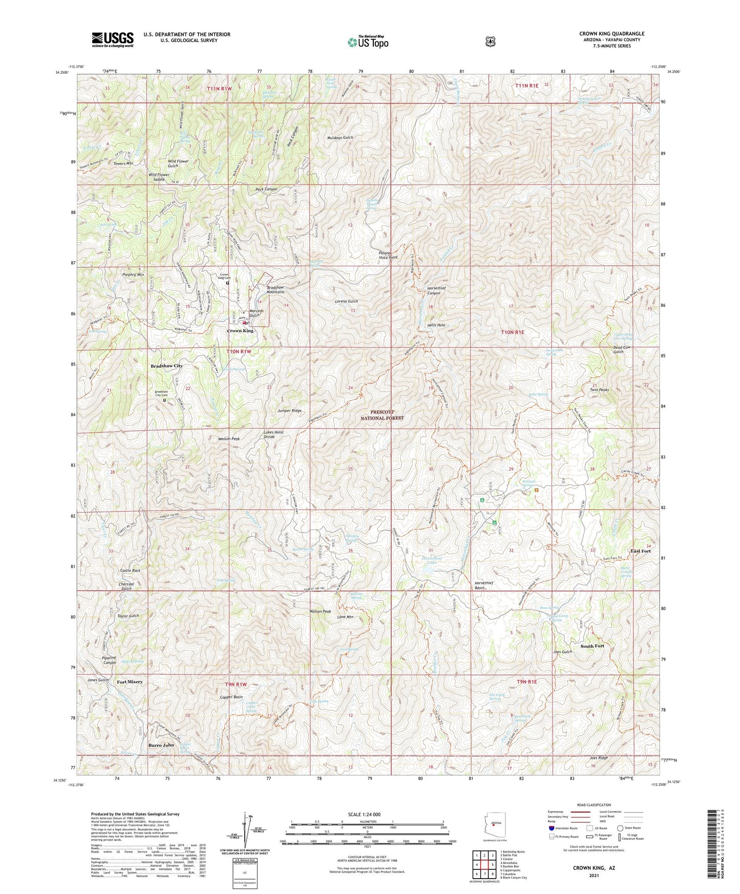
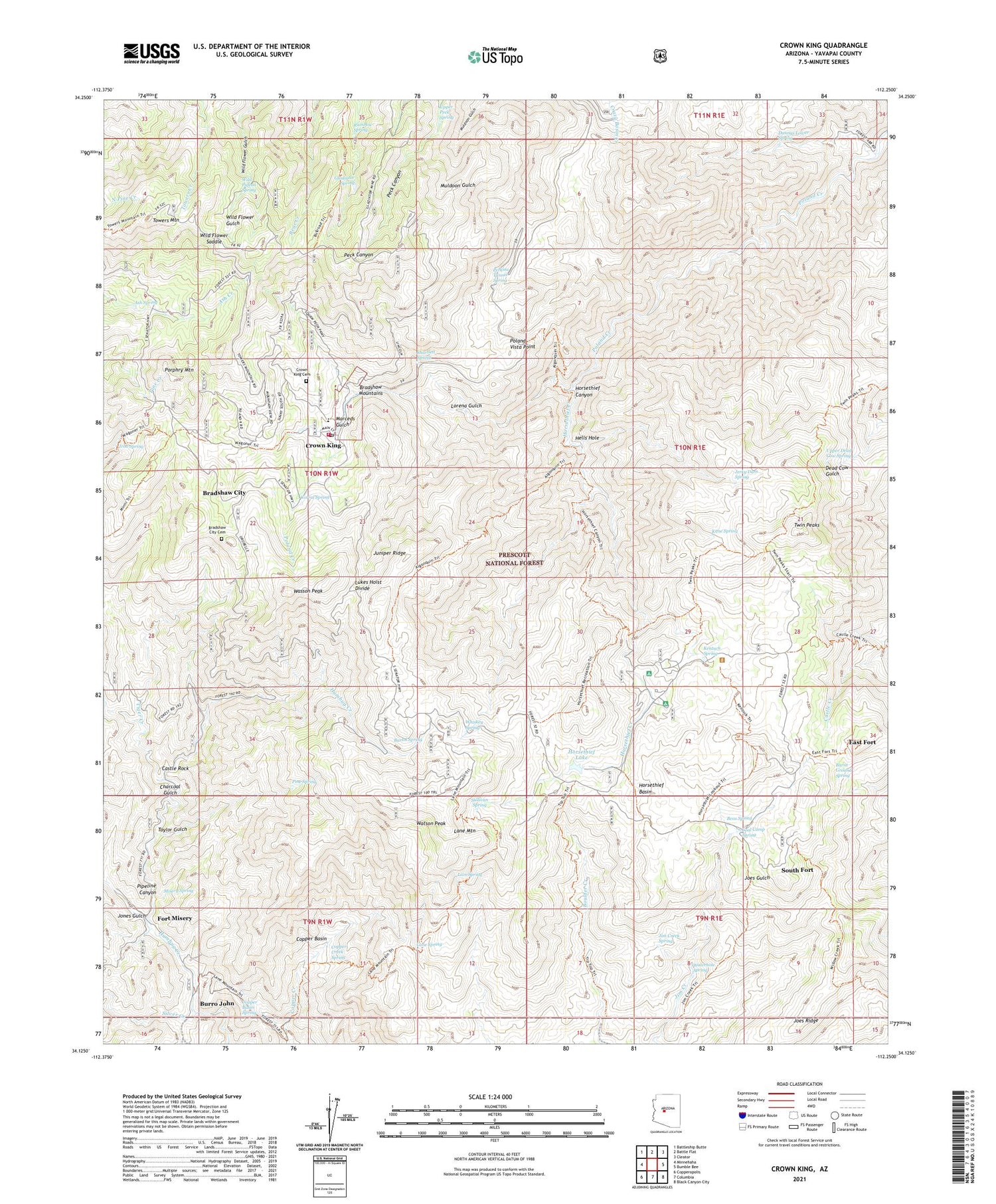
Crown King Arizona US Topo Map
Couldn't load pickup availability
Also explore the Crown King Forest Service Topo of this same quad for updated USFS data
2023 topographic map quadrangle Crown King in the state of Arizona. Scale: 1:24000. Based on the newly updated USGS 7.5' US Topo map series, this map is in the following counties: Yavapai. The map contains contour data, water features, and other items you are used to seeing on USGS maps, but also has updated roads and other features. This is the next generation of topographic maps. Printed on high-quality waterproof paper with UV fade-resistant inks.
Quads adjacent to this one:
West: Minnehaha
Northwest: Battleship Butte
North: Battle Flat
Northeast: Cleator
East: Bumble Bee
Southeast: Black Canyon City
South: Columbia
Southwest: Copperopolis
This map covers the same area as the classic USGS quad with code o34112b3.
Contains the following named places: Algonquin Mine, Algonquin Trail, Ash Spring, Barney Williams Dam Tank, Bartol Spring, Bens Spring, Bradshaw City, Bradshaw City Cemetery, Bull Run Trail, Burnt Ground Spring, Burro John, Castle Creek Wilderness, Castle Rock, Charcoal Gulch, Coal Camp Spring, Copper Basin, Copper Basin Spring, Copper Creek Spring, Corral Spring, Cougar Mine, Crown King, Crown King Cemetery, Crown King Elementary School, Crown King Fire Department, Crown King Mine, Crown King Post Office, Crown King Ranger Station, Dannys Lower Spring, Del Pasco Mine, Eagle Tail Mine, East Fort, Fat Jack Mine, Fort Misery, Gazelle Mine, Gladiator Mine, Gladiator Spring, Hazlett Hollow Campground, Hells Hole, Hells Hole Overlook, Horsethief Basin, Horsethief Basin Recreation Area, Horsethief Boat Launch, Horsethief Canyon, Horsethief Creek, Horsethief Dam, Horsethief Guard Station, Horsethief Lake, Horsethief Lookout Picnic Area, Horsethief Lookout Tower, Iron Spring, Jerky Dam Spring, Jim Creek Spring, Jim Creek Trail Number Two Hundred Thirty Five, Joes Ridge, Jones Gulch, Juniper Mine, Juniper Ridge, Kane Spring, Kentuch Spring, Kentuck Spring Campground, Kentucks Cabin, Kentucks Grave, Lane Mountain, Lane Mountain Trail, Lane Spring, Lincoln Mine, Lion Spring, Lorena Gulch, Lukes Hoist Divide, Lukes Hoist Mine, Marceds Gulch, Mascot Mine, Misery Spring, New Jersey Mine, New Savoy Mine, Oro, Oro Belle Mine, Perkins Tunnel Spring, Philadelphia Mine, Pine Spring, Pipeline Canyon, Poland Vista Point, Porphry Mountain, Rainbow Spring, Rapid Transit Mine, Savoy Mine, Shurtlett Spring, Silver Christmas Mine, Silver Creek, South Fort, Springfield Mine, Standard Mine, Sullivan Spring, Taylor Gulch, Tiger Creek, Tiger Mine, Tiptop Trail, Towers Mountain, Tunnel Mine, Turney Gulch Campground, Twin Peaks, Twin Peaks Trail, Union Mine, Upper Dead Cow Spring, Upper Peck Spring, War Eagle Mine, Wasson Peak, Waterhole Spring, Watson Peak, Whiskey Spring, Wild Flower Mine, Wild Flower Saddle, Wild Pigeon Spring, Willow Spring Trail, ZIP Code: 86343


