MyTopo
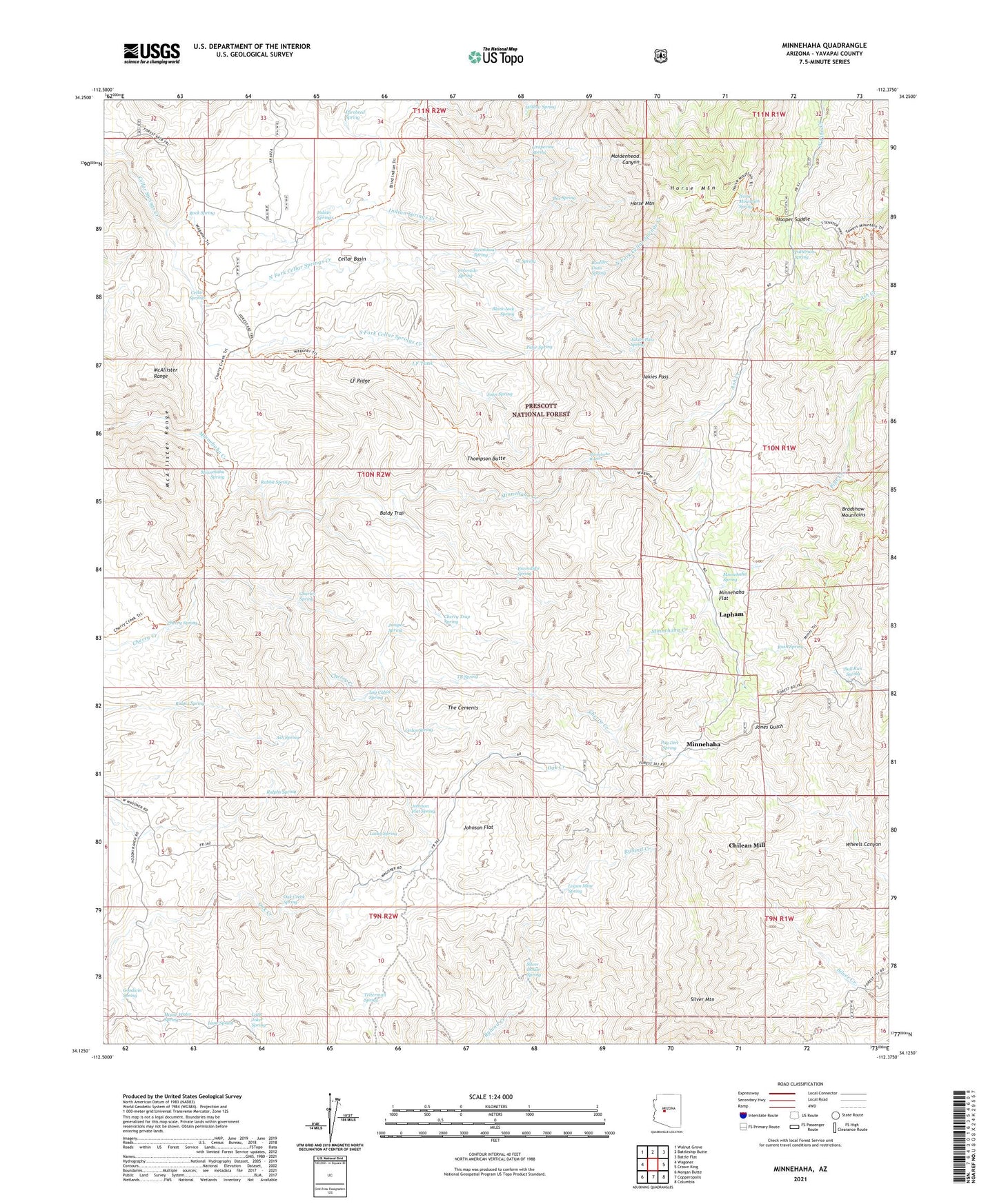
Minnehaha Arizona US Topo Map
Couldn't load pickup availability
Also explore the Minnehaha Forest Service Topo of this same quad for updated USFS data
2021 topographic map quadrangle Minnehaha in the state of Arizona. Scale: 1:24000. Based on the newly updated USGS 7.5' US Topo map series, this map is in the following counties: Yavapai. The map contains contour data, water features, and other items you are used to seeing on USGS maps, but also has updated roads and other features. This is the next generation of topographic maps. Printed on high-quality waterproof paper with UV fade-resistant inks.
Quads adjacent to this one:
West: Wagoner
Northwest: Walnut Grove
North: Battleship Butte
Northeast: Battle Flat
East: Crown King
Southeast: Columbia
South: Copperopolis
Southwest: Morgan Butte
This map covers the same area as the classic USGS quad with code o34112b4.
Contains the following named places: Ash Creek, Ash Spring, Baldy Trap, Black Jack Spring, Boaz Mine, Boulder Dam Spring, Box Spring, Bull Run Spring, Button Mine, Camp Bird Mine, Camp Bird Well, Cedar Spring, Cellar Basin, Cellar Basin Trail, Cellar Springs, Charles Spring, Cherry Creek Trail Two Hundred Fourteen, Cherry Spring, Cherry Trap Spring, Chilean Mill, Colorado Spring, Escondido Spring, Goodwin Spring, Grapevine Spring, Green Tank Windmill, Hooper Saddle, Horse Mountain, Horse Mountain Spring, Horse Mountain Trail Number Two Hundred Twelve, House Water Spring, Indian Springs, Indian Springs Camp, Indian Springs Creek, Jakies Pass, Jakies Pass Spring, John Spring, Johnson Flat, Johnson Flat Spring, Joker Mine, Juniper Spring, Lane Spring, Lapham, LF Ridge, LF Tank, Little Joker Spring, Log Cabin Spring, Logan Mine Spring, Lower Oak Creek Windmill, Lucky Spring, McAllister Range, Miller Windmill, Minnehaha, Minnehaha Flat, Minnehaha Spring, Minnehaha Waters, ML Windmill, North Fork Cellar Springs Creek, Oak Creek Spring, Oak Creek Well, Pacific Mine, Patterson Spring, Paxton Place, Pay Dirt Spring, Peter Spring, Pine Creek, Purebred Spring, Rabbit Spring, Ralphs Spring, Ridges Spring, Rock Spring, Rush Spring, Shelley Place, Shelley-Pearce Ranch, Silver Dollar Mine, Silver Dollar Spring, Silver Mountain, South Fork Cellar Springs Creek, Steamboat Spring, TB Spring, Tetterman Spring, The Cements, Thompson Butte, Upper Oak Creek Windmill, Wagoner Trail Number Two Hundred Thirteen, Wheels Canyon, Willow Spring, Y Spring