MyTopo
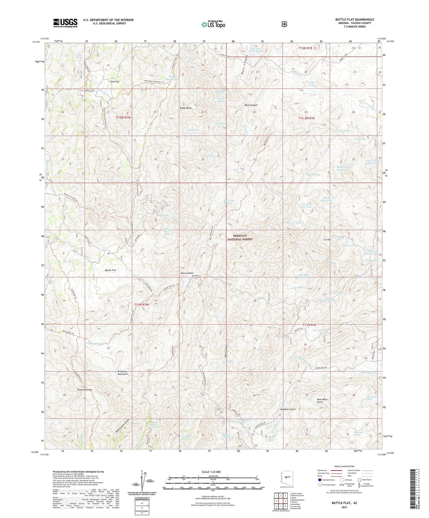
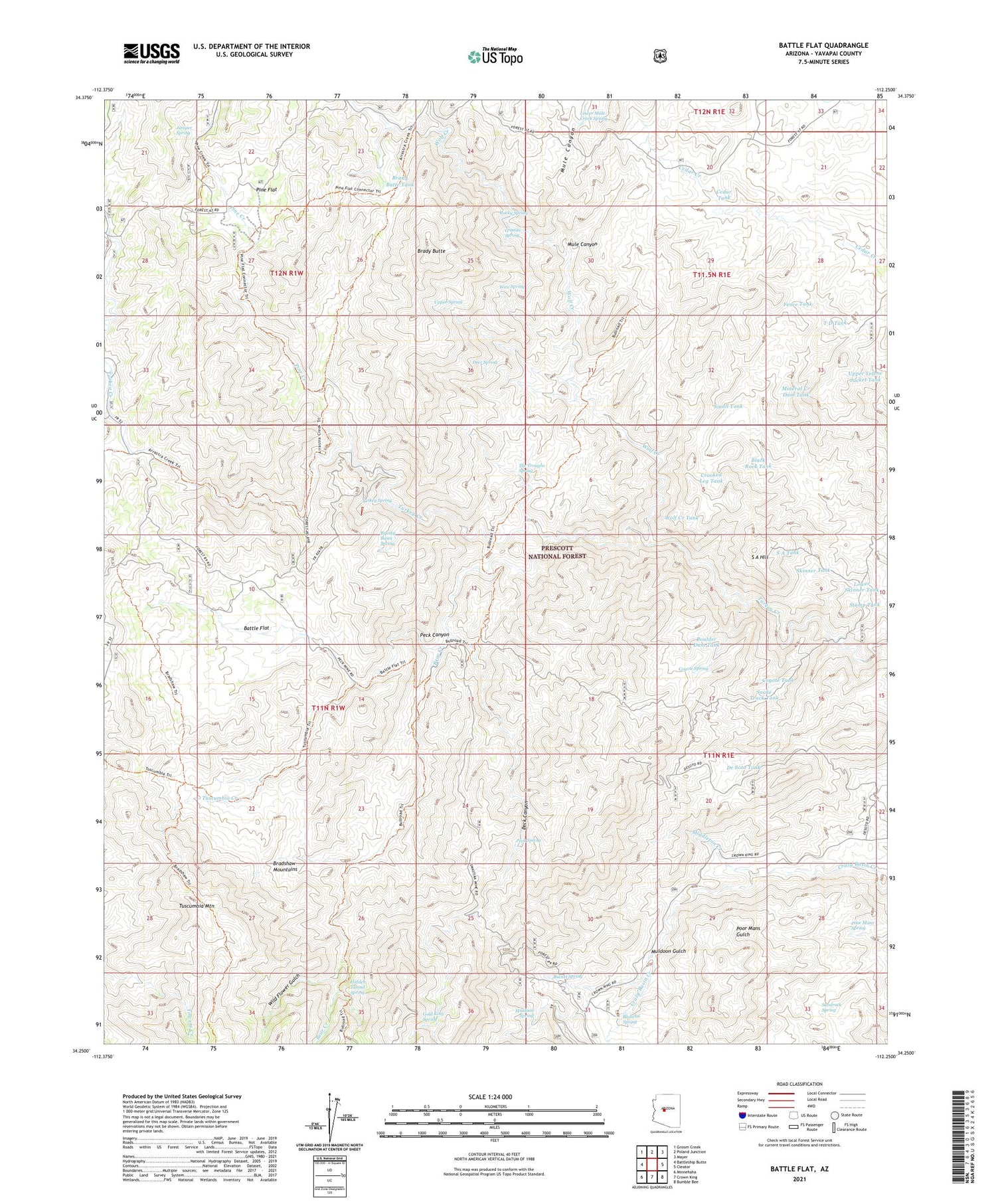
Battle Flat Arizona US Topo Map
Couldn't load pickup availability
Also explore the Battle Flat Forest Service Topo of this same quad for updated USFS data
2021 topographic map quadrangle Battle Flat in the state of Arizona. Scale: 1:24000. Based on the newly updated USGS 7.5' US Topo map series, this map is in the following counties: Yavapai. The map contains contour data, water features, and other items you are used to seeing on USGS maps, but also has updated roads and other features. This is the next generation of topographic maps. Printed on high-quality waterproof paper with UV fade-resistant inks.
Quads adjacent to this one:
West: Battleship Butte
Northwest: Groom Creek
North: Poland Junction
Northeast: Mayer
East: Cleator
Southeast: Bumble Bee
South: Crown King
Southwest: Minnehaha
This map covers the same area as the classic USGS quad with code o34112c3.
Contains the following named places: Arrastra Creek, Battle Flat, Battle Flat Trick Tank, Bear Creek, Black Rock Tank, Blancho Spring, Boulder Dam Tank, Bradshaw Trail, Brady Butte, Brady Butte Tank, Brushy Basin Spring, Bucket Spring, Buster Mine, Cedar Tank, Coyote Spring, Coyote Tank, Crooked Leg Tank, De Soto Mine, De Soto Tank, Deer Spring, Fence Tank, Goat Ranch, Gold King Mine, Gold King Spring, Granite Spring, Harl Tank, Hawkey Well, Hidden Tunnel Spring, Juniper Spring, Little Wolf Creek, Lower Mule Creek Spring, Lower Skinner Tank, Middleton Creek, Mineral Creek Dam Tank, Mohawk Mine, Muldoon Gulch, Muldoon Spring, Mule Canyon, Peck Canyon, Peck Mine, Peck Spring, Pine Creek, Pine Flat, Poor Mans Spring, Rocky Spring, S A Hill, S A Tank, SA Hill Trick Tank, Sandrock Spring, Skinner Tank, Small Tank, Snake Track Tank, Stump Tank, Swastika Mine, T D Tank, The Troughs Spring, Turkey Spring, Tuscumbia Creek, Tuscumbia Mine, Tuscumbia Mountain, Upper Spring, Upper Yellow Jacket Tank, West Side Trick Tank, Wild Flower Gulch, Wire Spring, Wolf Creek, Wolf Creek Tank


