MyTopo
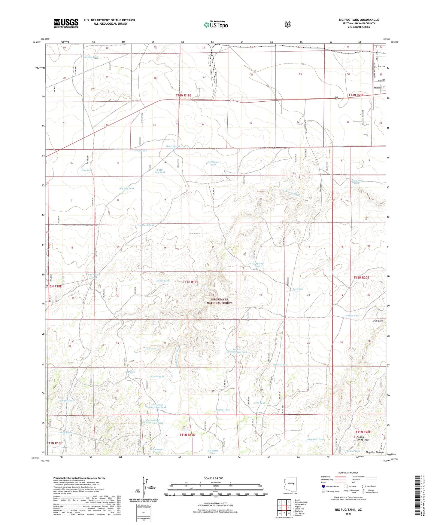
Big Pug Tank Arizona US Topo Map
Couldn't load pickup availability
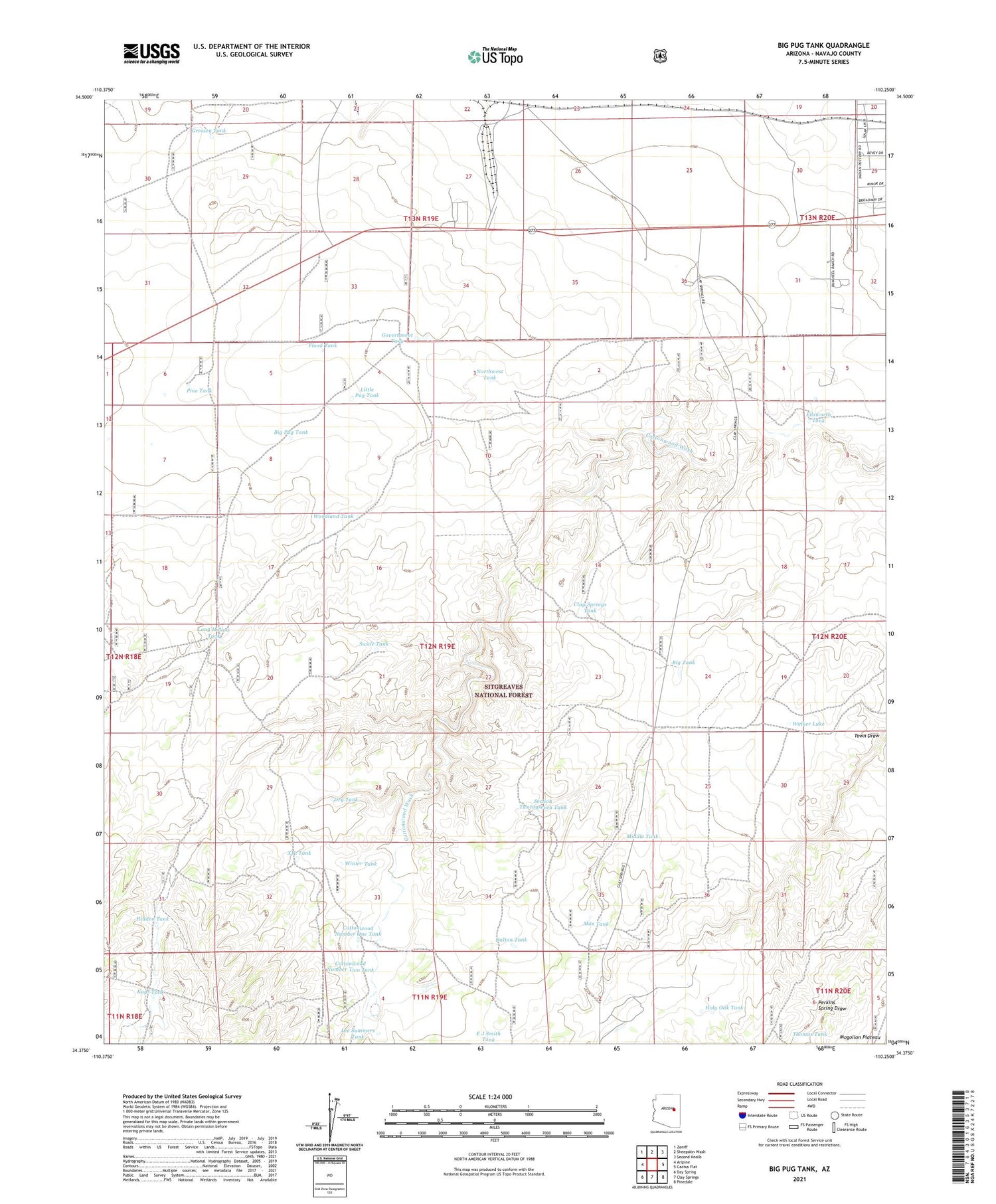
Also explore the Big Pug Tank Forest Service Topo of this same quad for updated USFS data
2021 topographic map quadrangle Big Pug Tank in the state of Arizona. Scale: 1:24000. Based on the newly updated USGS 7.5' US Topo map series, this map is in the following counties: Navajo. The map contains contour data, water features, and other items you are used to seeing on USGS maps, but also has updated roads and other features. This is the next generation of topographic maps. Printed on high-quality waterproof paper with UV fade-resistant inks.
Quads adjacent to this one:
West: Aripine
Northwest: Zeniff
North: Sheepskin Wash
Northeast: Second Knolls
East: Cactus Flat
Southeast: Pinedale
South: Clay Springs
Southwest: Day Spring
This map covers the same area as the classic USGS quad with code o34110d3.
Contains the following named places: Big Pug Tank, Clay Springs Tank, Cottonwood Number One Tank, Cottonwood Number Two Tank, Dalton Tank, Day Wash, Dry Tank, Ellsworth Tank, Exchange Tank, Flood Tank, Government Tank, Gressey Tank, Hidden Tank, Holy Oak Tank, Jackrabbit Tank, Kays Tank, Lakeside Ranger District, Lee Summers Tank, Little Pug Tank, Long Hollow Tank, Max Tank, Middle Tank, New Tank, Northwest Tank, Number Four Trick Tank, Pine Tank, Pitt Tank, Section Twentyseven Tank, Snowflake Landing, Swale Tank, Thomas Tank, Town Well, Upper Tank, Walker Lake, Walker Well, Winter Tank, Woodland Tank, XIL Tank