
MyTopo
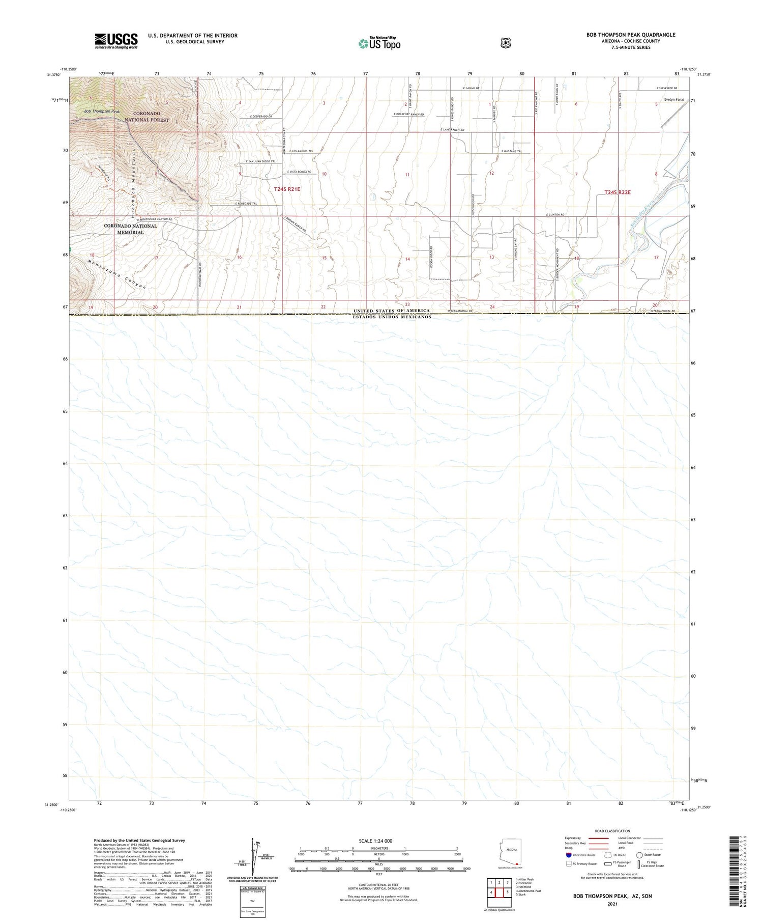
Bob Thompson Peak Arizona US Topo Map
Couldn't load pickup availability
Also explore the Bob Thompson Peak Forest Service Topo of this same quad for updated USFS data
2021 topographic map quadrangle Bob Thompson Peak in the state of Arizona. Scale: 1:24000. Based on the newly updated USGS 7.5' US Topo map series, this map is in the following counties: Cochise. The map contains contour data, water features, and other items you are used to seeing on USGS maps, but also has updated roads and other features. This is the next generation of topographic maps. Printed on high-quality waterproof paper with UV fade-resistant inks.
Quads adjacent to this one:
West: Montezuma Pass
Northwest: Miller Peak
North: Nicksville
Northeast: Hereford
East: Stark
This map covers the same area as the classic USGS quad with code o31110c2.
Contains the following named places: Bob Thompson Peak, Brown Ranch, Evelyn Field, Miracle Valley Airstrip, Montezuma Canyon, Montezuma Ranch, Smith Ranch, Zalesk Ranch


