
MyTopo
Cerro Hueco Arizona US Topo Map
Couldn't load pickup availability
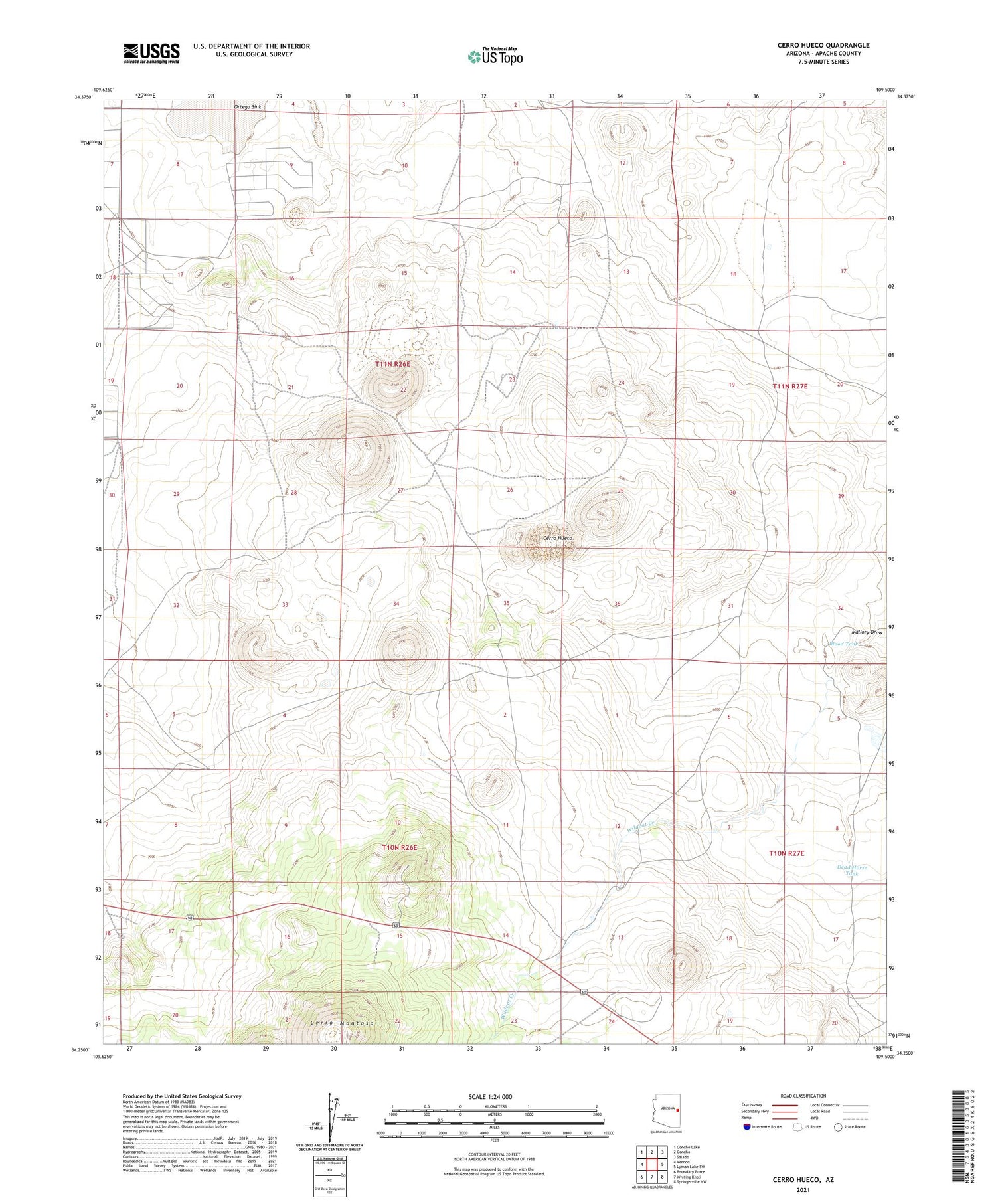
2021 topographic map quadrangle Cerro Hueco in the state of Arizona. Scale: 1:24000. Based on the newly updated USGS 7.5' US Topo map series, this map is in the following counties: Apache. The map contains contour data, water features, and other items you are used to seeing on USGS maps, but also has updated roads and other features. This is the next generation of topographic maps. Printed on high-quality waterproof paper with UV fade-resistant inks.
Quads adjacent to this one:
West: Vernon
Northwest: Concho Lake
North: Concho
Northeast: Salado
East: Lyman Lake SW
Southeast: Springerville NW
South: Whiting Knoll
Southwest: Boundary Butte
This map covers the same area as the classic USGS quad with code o34109c5.
Contains the following named places: Antelope Well, Blood Tank, Cerro Hueco, Cerro Montoso, Dead Horse Tank, KQZE-FM (Saint Johns), Santa Fe Well, West Pasture Well, Wildcat Creek


