MyTopo
Corn Creek Plateau Arizona US Topo Map
Couldn't load pickup availability
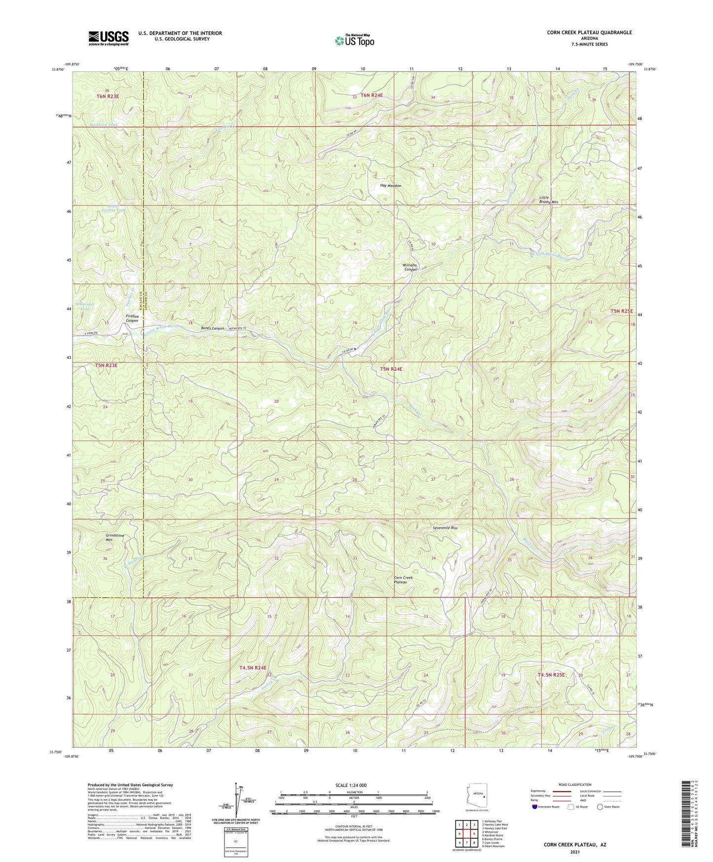
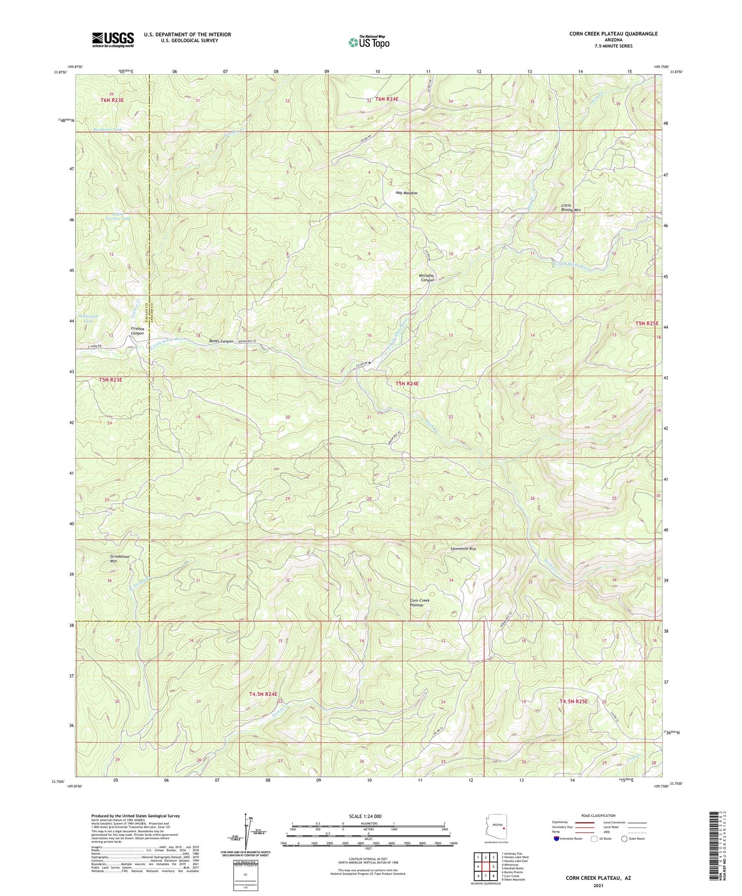
2021 topographic map quadrangle Corn Creek Plateau in the state of Arizona. Scale: 1:24000. Based on the newly updated USGS 7.5' US Topo map series, this map is in the following counties: Apache, Navajo. The map contains contour data, water features, and other items you are used to seeing on USGS maps, but also has updated roads and other features. This is the next generation of topographic maps. Printed on high-quality waterproof paper with UV fade-resistant inks.
Quads adjacent to this one:
West: Whiteriver
Northwest: Alchesay Flat
North: Hawley Lake West
Northeast: Hawley Lake East
East: Marshall Butte
Southeast: Odart Mountain
South: Corn Creek
Southwest: Bonito Prairie
This map covers the same area as the classic USGS quad with code o33109g7.
Contains the following named places: Bones Canyon, Buckhorn Tank, Corn Creek Plateau, Deep Creek, Firebox Canyon, Firebox Creek, Grindstone Mountain, Hay Meadow, Little Brushy Mountain, Lower Firebox Tank, Nyce Cabin, Rock Creek, Rock Creek Picnic Area, Rock Creek Station, Whitespot Tank, Williams Canyon