MyTopo
Corn Creek Arizona US Topo Map
Couldn't load pickup availability
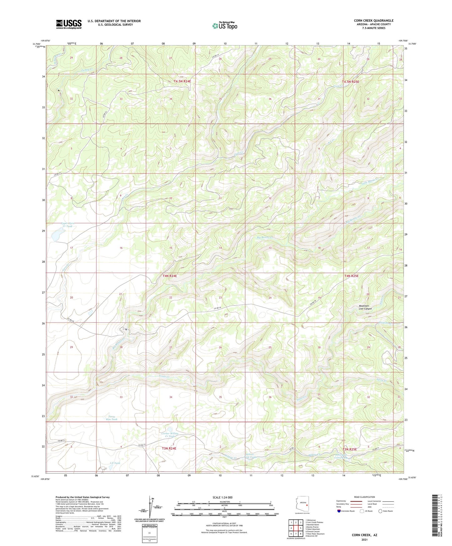
2021 topographic map quadrangle Corn Creek in the state of Arizona. Scale: 1:24000. Based on the newly updated USGS 7.5' US Topo map series, this map is in the following counties: Apache. The map contains contour data, water features, and other items you are used to seeing on USGS maps, but also has updated roads and other features. This is the next generation of topographic maps. Printed on high-quality waterproof paper with UV fade-resistant inks.
Quads adjacent to this one:
West: Bonito Prairie
Northwest: Whiteriver
North: Corn Creek Plateau
Northeast: Marshall Butte
East: Odart Mountain
Southeast: Maverick SW
South: West Poker Mountain
Southwest: Elwood Canyon
This map covers the same area as the classic USGS quad with code o33109f7.
Contains the following named places: Cienega Creek, Corner Willow Creek Tank, I D Tank, John Hall Cabin Tank, K L Creek, KL Ranch, Little Bonito Creek, Mountain Lion Canyon, Perry Creek, Tonto Creek, Tonto Rim Tank, Upper Corn Creek Tank, Willow Trap Tank