MyTopo
Crystal Hill Arizona US Topo Map
Couldn't load pickup availability
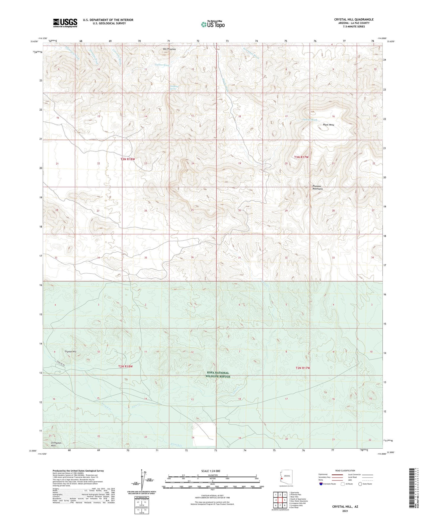
2021 topographic map quadrangle Crystal Hill in the state of Arizona. Scale: 1:24000. Based on the newly updated USGS 7.5' US Topo map series, this map is in the following counties: La Paz. The map contains contour data, water features, and other items you are used to seeing on USGS maps, but also has updated roads and other features. This is the next generation of topographic maps. Printed on high-quality waterproof paper with UV fade-resistant inks.
Quads adjacent to this one:
West: South of Quartzsite
Northwest: Quartzsite
North: Plomosa Pass
Northeast: Bear Hills
East: New Water Mountains
Southeast: Owl Head
South: Livingston Hills
Southwest: Livingston Hills NW
This map covers the same area as the classic USGS quad with code o33114e1.
Contains the following named places: Apache Chief Mine, Black Mesa, Brintley Well, Cave Creek, Chalk Tank, Crystal Hill, Desert Queen Mine, Dos Picachos, Dripping Spring, Indian Well, Livingston Mine, Livingston Well, McCormacks Well, Poorman Mine, Renegade Mine, Six Price Mine, Twelvemile Well