MyTopo
New Water Mountains Arizona US Topo Map
Couldn't load pickup availability
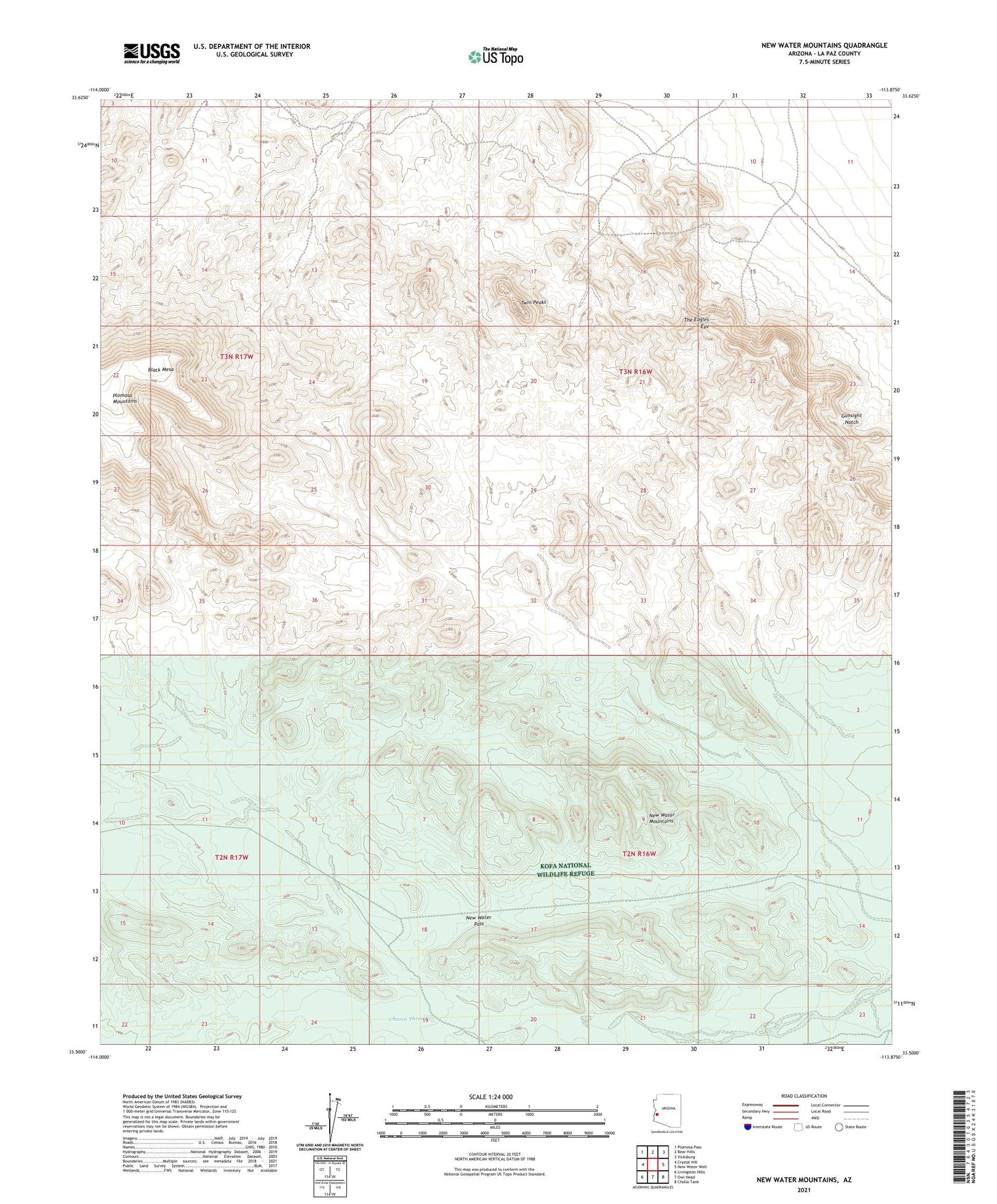
2021 topographic map quadrangle New Water Mountains in the state of Arizona. Scale: 1:24000. Based on the newly updated USGS 7.5' US Topo map series, this map is in the following counties: La Paz. The map contains contour data, water features, and other items you are used to seeing on USGS maps, but also has updated roads and other features. This is the next generation of topographic maps. Printed on high-quality waterproof paper with UV fade-resistant inks.
Quads adjacent to this one:
West: Crystal Hill
Northwest: Plomosa Pass
North: Bear Hills
Northeast: Vicksburg
East: New Water Well
Southeast: Cholla Tank
South: Owl Head
Southwest: Livingston Hills
This map covers the same area as the classic USGS quad with code o33113e8.
Contains the following named places: Charco Three, Eagle Eye Mine, East Tank, Gunsight Notch, Hidden Tank, New Water Mountains, New Water Mountains Wilderness, New Water Pass, The Eagles Eye, Twin Peaks