MyTopo
Orange Butte Arizona US Topo Map
Couldn't load pickup availability
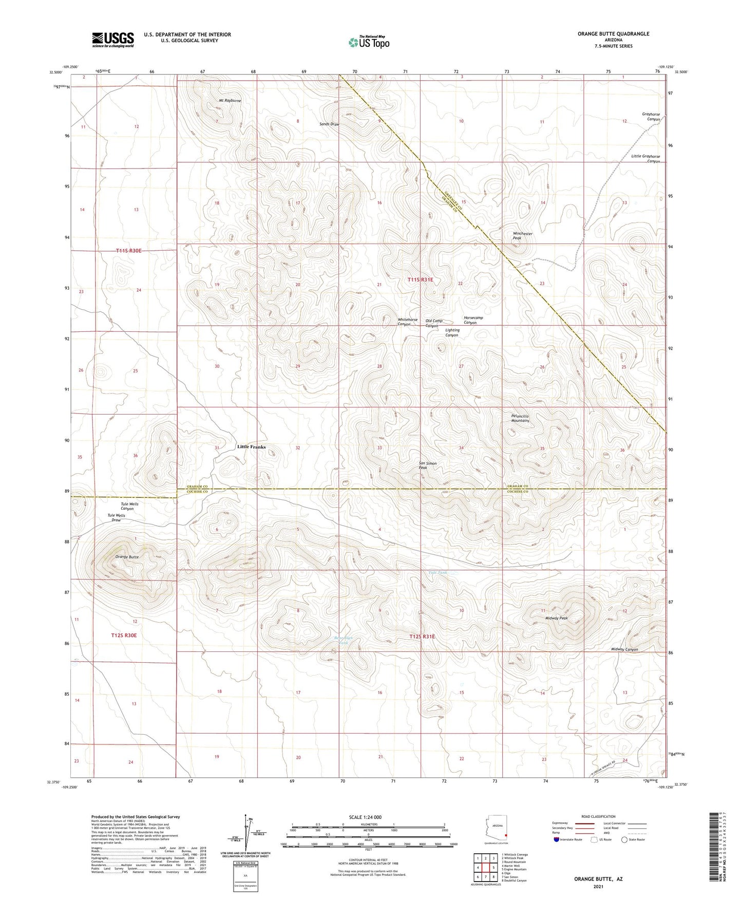
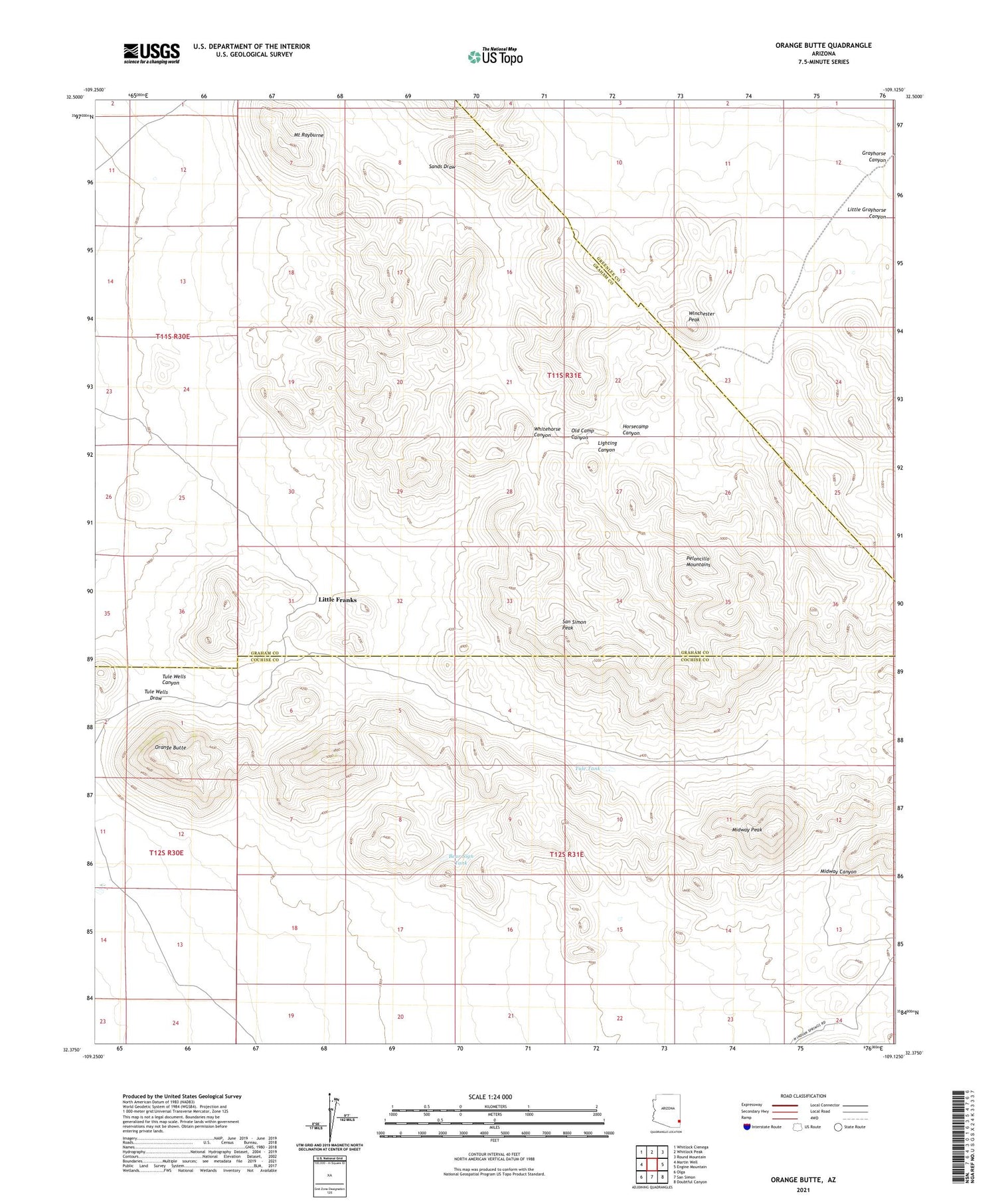
2021 topographic map quadrangle Orange Butte in the state of Arizona. Scale: 1:24000. Based on the newly updated USGS 7.5' US Topo map series, this map is in the following counties: Cochise, Graham, Greenlee. The map contains contour data, water features, and other items you are used to seeing on USGS maps, but also has updated roads and other features. This is the next generation of topographic maps. Printed on high-quality waterproof paper with UV fade-resistant inks.
Quads adjacent to this one:
West: Martin Well
Northwest: Whitlock Cienega
North: Whitlock Peak
Northeast: Round Mountain
East: Engine Mountain
Southeast: Doubtful Canyon
South: San Simon
Southwest: Olga
This map covers the same area as the classic USGS quad with code o32109d2.
Contains the following named places: Bear Sign Tank, Horsecamp, Horsecamp Canyon, Indian Tanks, Lighting Canyon, Little Franks, Little Franks Well, Midway Canyon, Midway Peak, Mount Rayburne, Old Camp, Old McKenzie Ranch, Orange Butte, Robs Well, San Simon Peak, Sands Well, Tule Tank, Tule Wells, Tule Wells Canyon, Whitehorse Canyon, Winchester Peak