MyTopo
Happy Valley Arizona US Topo Map
Couldn't load pickup availability
Also explore the Happy Valley Forest Service Topo of this same quad for updated USFS data
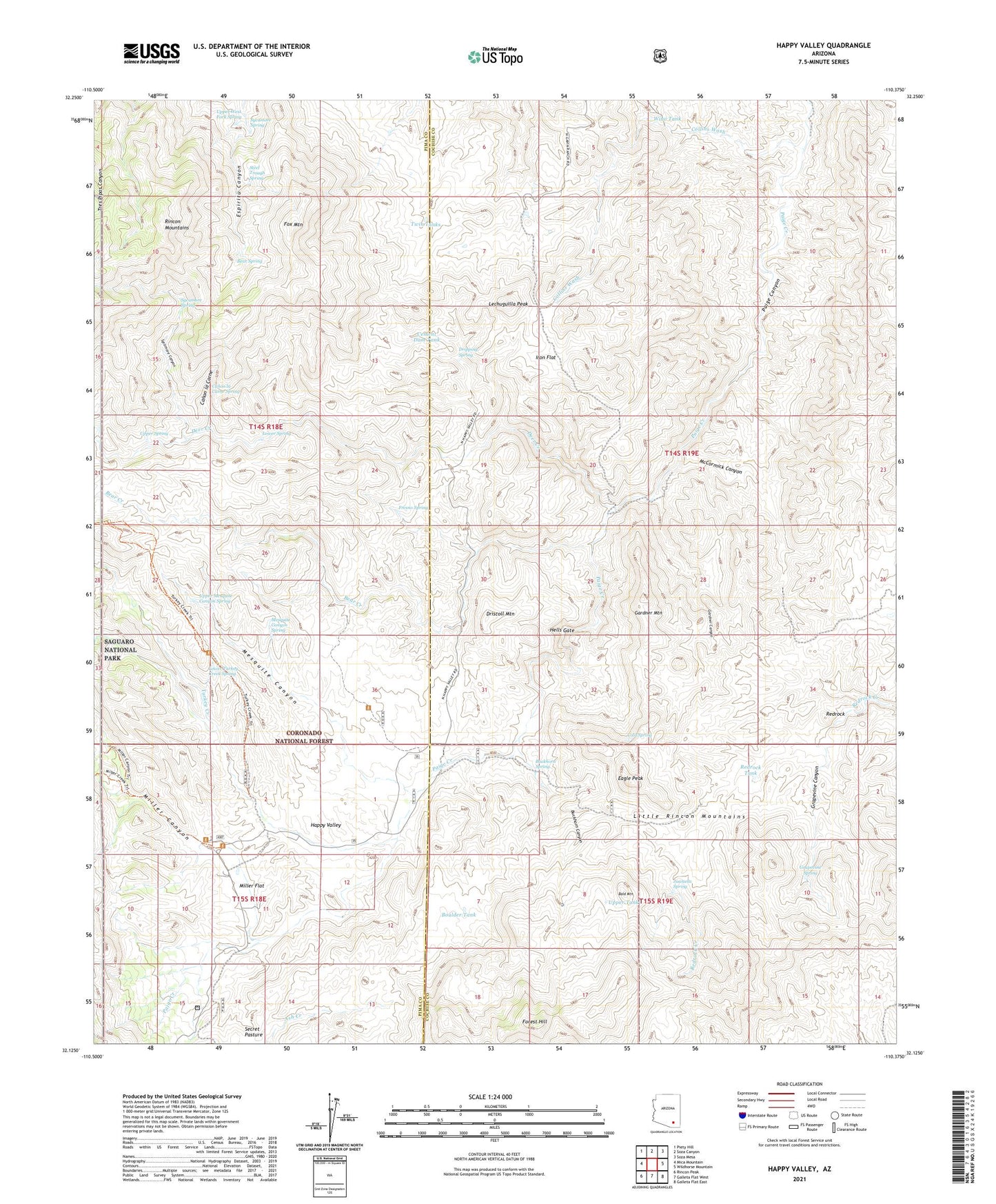
2021 topographic map quadrangle Happy Valley in the state of Arizona. Scale: 1:24000. Based on the newly updated USGS 7.5' US Topo map series, this map is in the following counties: Cochise, Pima. The map contains contour data, water features, and other items you are used to seeing on USGS maps, but also has updated roads and other features. This is the next generation of topographic maps. Printed on high-quality waterproof paper with UV fade-resistant inks.
Quads adjacent to this one:
West: Mica Mountain
Northwest: Piety Hill
North: Soza Canyon
Northeast: Soza Mesa
East: Wildhorse Mountain
Southeast: Galleta Flat East
South: Galleta Flat West
Southwest: Rincon Peak
This map covers the same area as the classic USGS quad with code o32110b4.
Contains the following named places: Bald Mountain, Barney Ranch, Bear Creek, Bear Spring, Boulder Tank, Buckhorn Canyon, Buckhorn Spring, Canon la Carne, Canon la Carne Spring, Cement Dam, Cement Dam Tank, Clopton Ranch, Cold Spring, Collins Wash, Deer Creek, Dripping Spring, Driscoll Mountain, Eagle Peak, Forest Hill, Fox Mountain, Fresno Spring, Gardner Canyon, Gardner Mountain, Grapevine Canyon, Grapevine Spring, Happy Valley, Hells Gate, Iron Flat, Juanuna Spring, Last Chance Ranch, Lechuguilla Peak, Little Rincon Mountains, Lower Spring, Lower Turkey Creek Spring, McCormick Canyon, Mesquite Canyon, Mesquite Canyon Spring, Miller Canyon, Miller Creek Trailhead, Miller Flat, Miller Ranch, Paige Well, Redrock, Redrock Tank, Secret Pasture, Steel Trough Spring, Sycamore Canyon, Sycamore Spring, Turkey Creek, Turkey Creek Trailhead, Twin Tanks, Upper Mesquite Canyon Spring, Upper Spring, Upper West Fork Spring, Wino Tank, ZIP Code: 85602