MyTopo
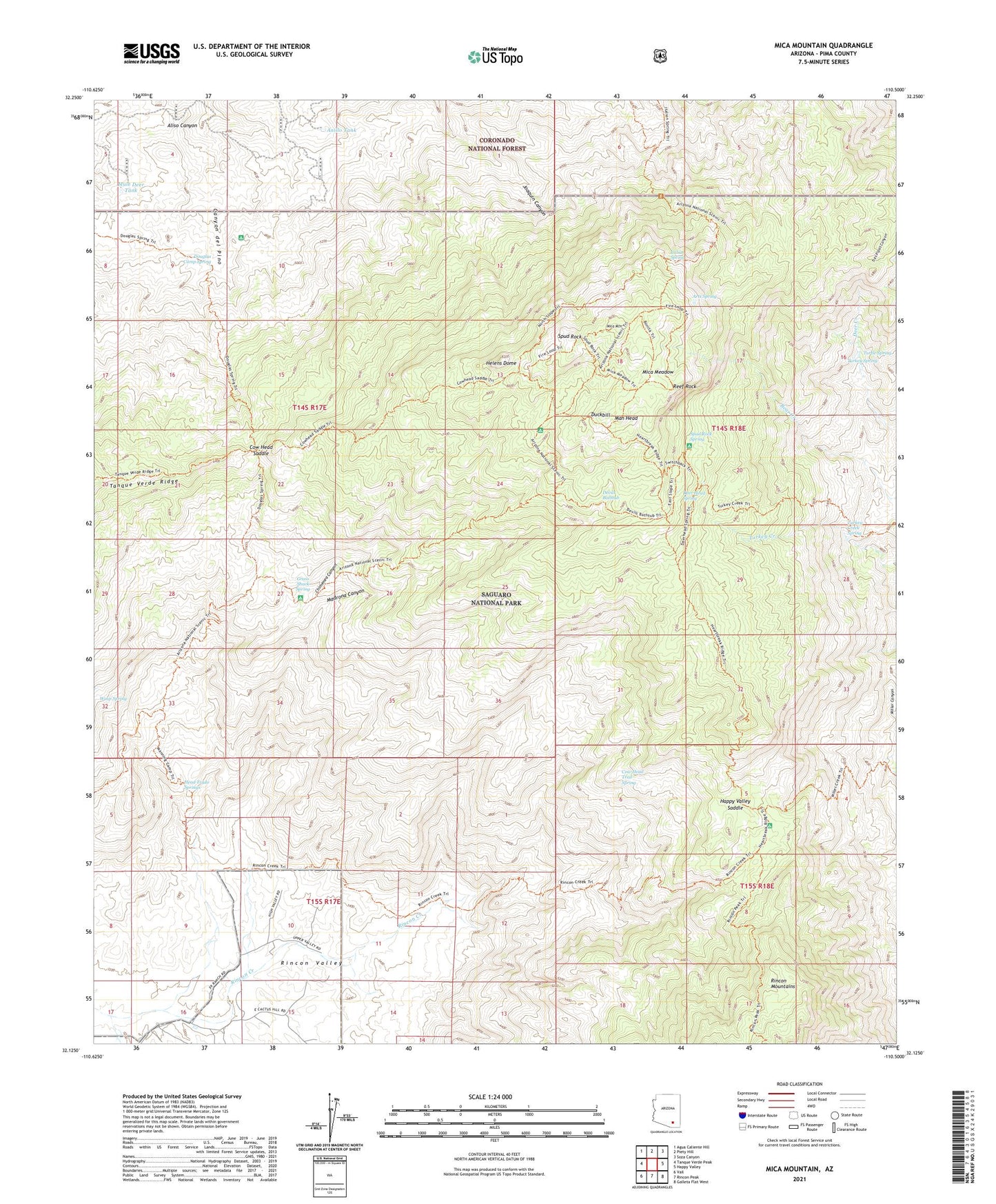
Mica Mountain Arizona US Topo Map
Couldn't load pickup availability
Also explore the Mica Mountain Forest Service Topo of this same quad for updated USFS data
2021 topographic map quadrangle Mica Mountain in the state of Arizona. Scale: 1:24000. Based on the newly updated USGS 7.5' US Topo map series, this map is in the following counties: Pima. The map contains contour data, water features, and other items you are used to seeing on USGS maps, but also has updated roads and other features. This is the next generation of topographic maps. Printed on high-quality waterproof paper with UV fade-resistant inks.
Quads adjacent to this one:
West: Tanque Verde Peak
Northwest: Agua Caliente Hill
North: Piety Hill
Northeast: Soza Canyon
East: Happy Valley
Southeast: Galleta Flat West
South: Rincon Peak
Southwest: Vail
This map covers the same area as the classic USGS quad with code o32110b5.
Contains the following named places: Anillo Tank, Arts Spring, Chimenea Canyon, Chimenea Natural Area, Cow Head Saddle, Cow Head Trail Spring, Deer Head Spring, Devils Bathtub, Douglas Camp Spring, Douglas Spring Campground, Douglas Spring Trail, Duckbill, Grass Shack Spring, Happy Valley Lookout, Happy Valley Saddle, Head Trails Springs, Heartbreak Ridge Trail, Helens Dome, Italian Spring, Madrona Canyon, Madrona Ranger Station, Man Head, Manning Camp, Mica Meadow, Mica Mountain, Mule Deer Tank, Reef Rock, Rincon Mountains, Saguaro National Park, Saguaro National Park East Unit, Spud Rock, Spud Rock Cabin, Spud Rock Spring, Sycamore Creek, Turkey Creek Spring, Turkey Spring, Turtle Spring, Wasp Spring, X 9 Ranch