MyTopo
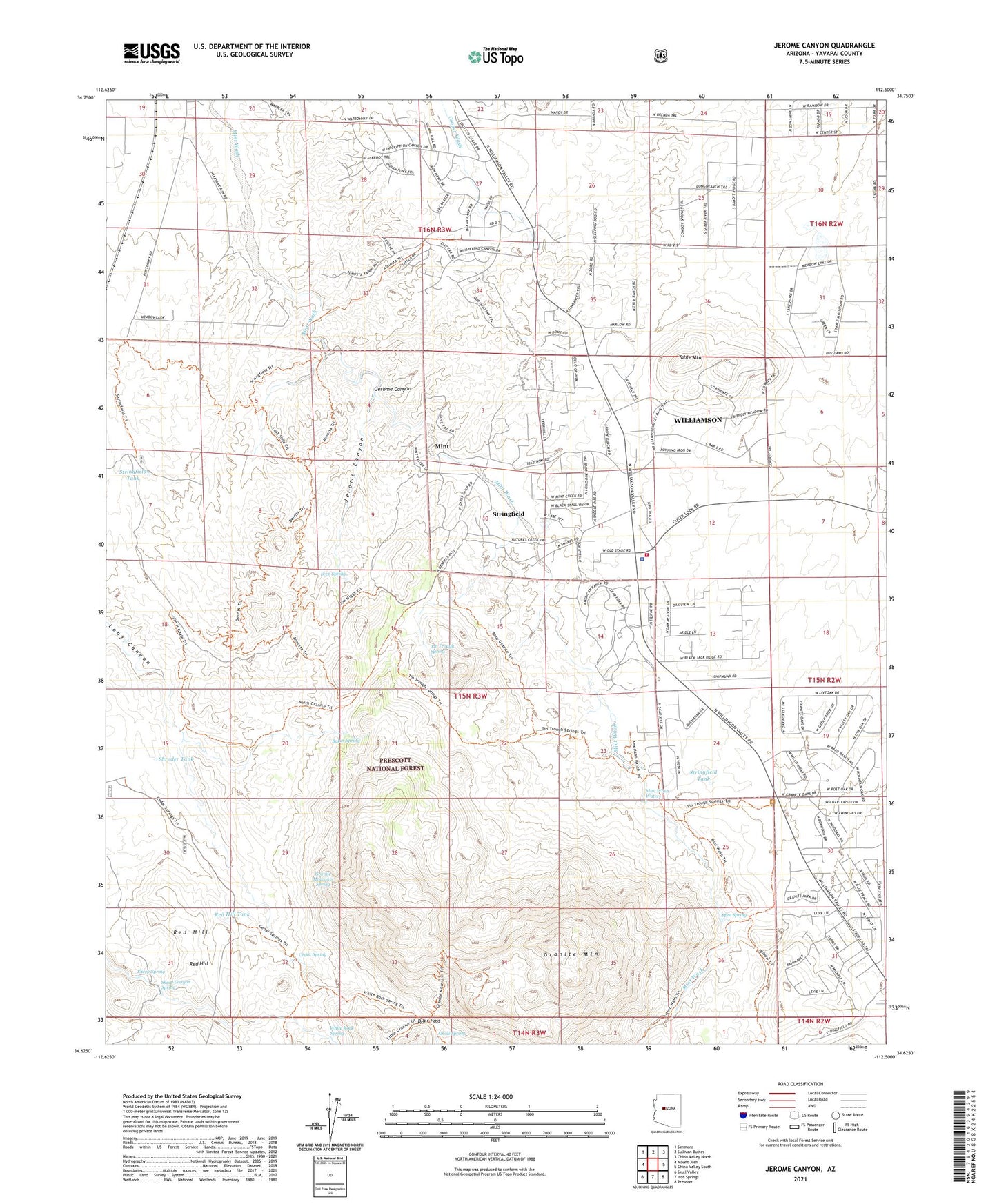
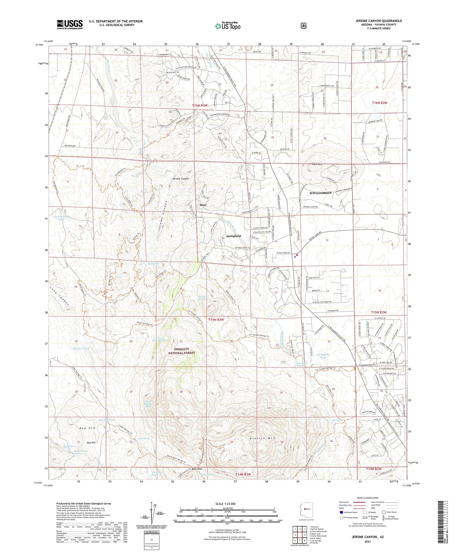
Jerome Canyon Arizona US Topo Map
Couldn't load pickup availability
Also explore the Jerome Canyon Forest Service Topo of this same quad for updated USFS data
2021 topographic map quadrangle Jerome Canyon in the state of Arizona. Scale: 1:24000. Based on the newly updated USGS 7.5' US Topo map series, this map is in the following counties: Yavapai. The map contains contour data, water features, and other items you are used to seeing on USGS maps, but also has updated roads and other features. This is the next generation of topographic maps. Printed on high-quality waterproof paper with UV fade-resistant inks.
Quads adjacent to this one:
West: Mount Josh
Northwest: Simmons
North: Sullivan Buttes
Northeast: Chino Valley North
East: Chino Valley South
Southeast: Prescott
South: Iron Springs
Southwest: Skull Valley
This map covers the same area as the classic USGS quad with code o34112f5.
Contains the following named places: Alkali Spring, American Ranch, Baker Spring, Blair Pass, Cedar Spring, Central Yavapai Fire District Station 57, Chimbley Tank, Goat Camp, Granite Mountain, Granite Mountain Spring, Granite Mountain Wilderness, Jerome Canyon, Lon Stringfield Ranch, Mint, Mint Spring, Mint Wash Waters, Red Hill, Red Hill Tank, Seep Spring, Sheep Canyon Spring, Sheep Spring, Shroder Tank, Stringfield, Stringfield Ranch, Stringfield Tank, Table Mountain, Tin Trough Spring, White Rock Spring, Williamson, Williamson Census Designated Place, Yavapai County Sheriff's Office Williamson Valley