MyTopo
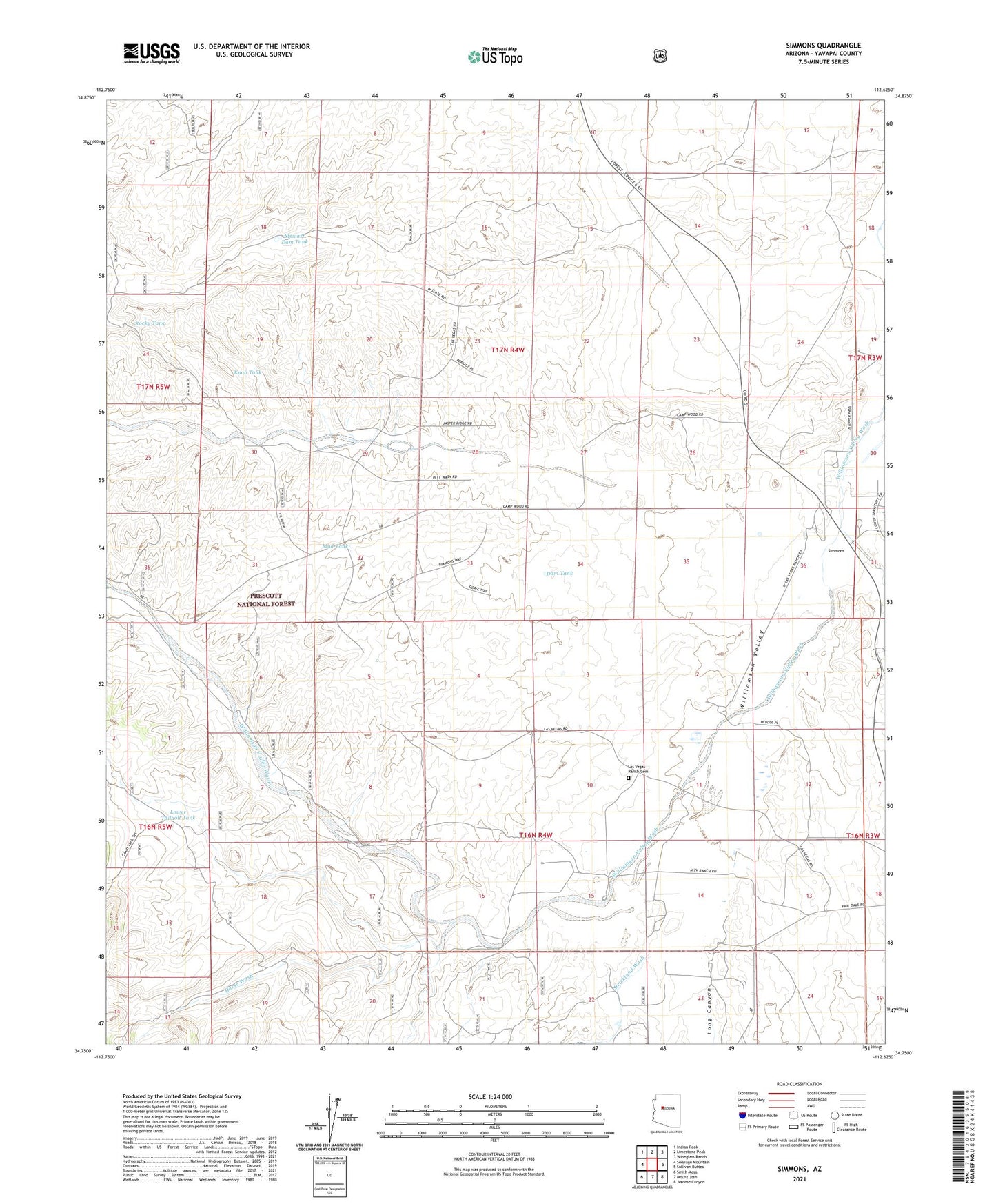
Simmons Arizona US Topo Map
Couldn't load pickup availability
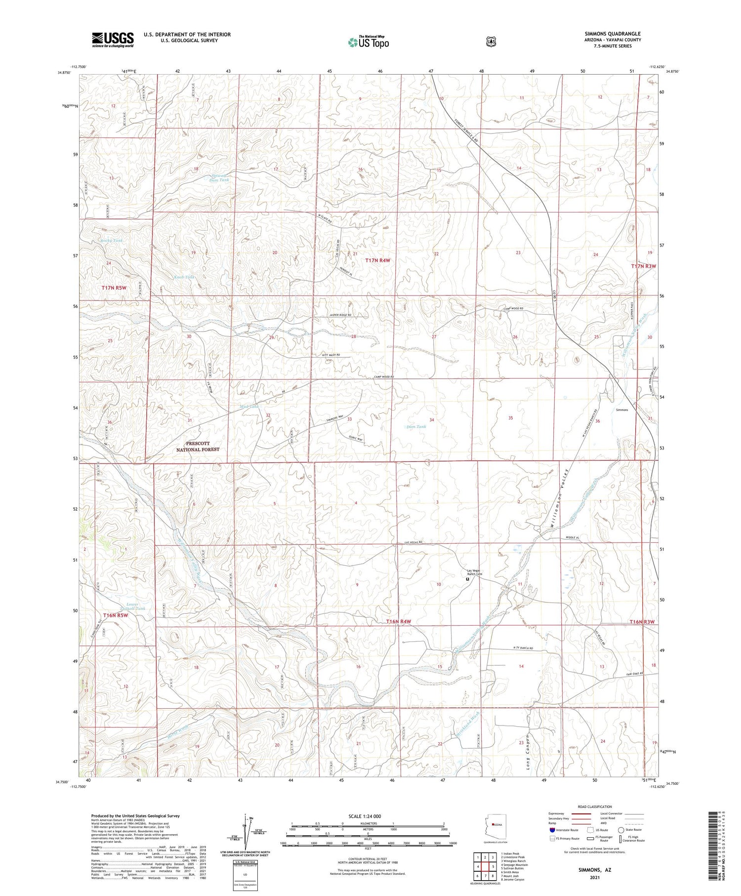
Also explore the Simmons Forest Service Topo of this same quad for updated USFS data
2021 topographic map quadrangle Simmons in the state of Arizona. Scale: 1:24000. Based on the newly updated USGS 7.5' US Topo map series, this map is in the following counties: Yavapai. The map contains contour data, water features, and other items you are used to seeing on USGS maps, but also has updated roads and other features. This is the next generation of topographic maps. Printed on high-quality waterproof paper with UV fade-resistant inks.
Quads adjacent to this one:
West: Seepage Mountain
Northwest: Indian Peak
North: Limestone Peak
Northeast: Wineglass Ranch
East: Sullivan Buttes
Southeast: Jerome Canyon
South: Mount Josh
Southwest: Smith Mesa
This map covers the same area as the classic USGS quad with code o34112g6.
Contains the following named places: Crose U Trick Tank, Cross Triangle Ranch, Dam Tank, Hitt Wash, Hitt Well, Horse Wash, Humphrey Wash, Jordan Well, Knob Tank, Las Vegas Ranch, Las Vegas Ranch Cemetery, Long Canyon, Long Meadow Ranch, Lower Tailholt Tank, Mati Ranch, Mint Wash, Mud Tank, Para Ranch, Pine Creek, Rocky Tank, Sampson Tank, Sampson Well, Seven V Ranch, Simmons, Stewart Dam, Stewart Dam Tank, Strickland Wash