MyTopo
Muleshoe Ranch Arizona US Topo Map
Couldn't load pickup availability
Also explore the Muleshoe Ranch Forest Service Topo of this same quad for updated USFS data
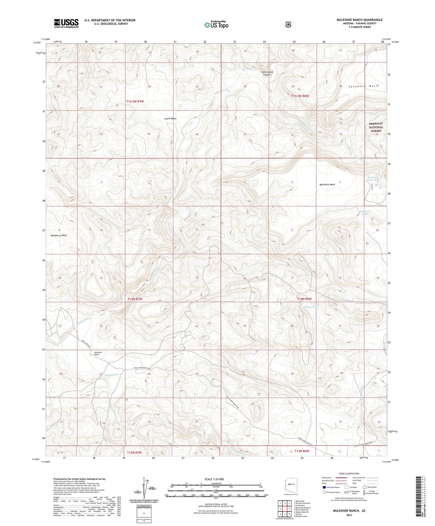
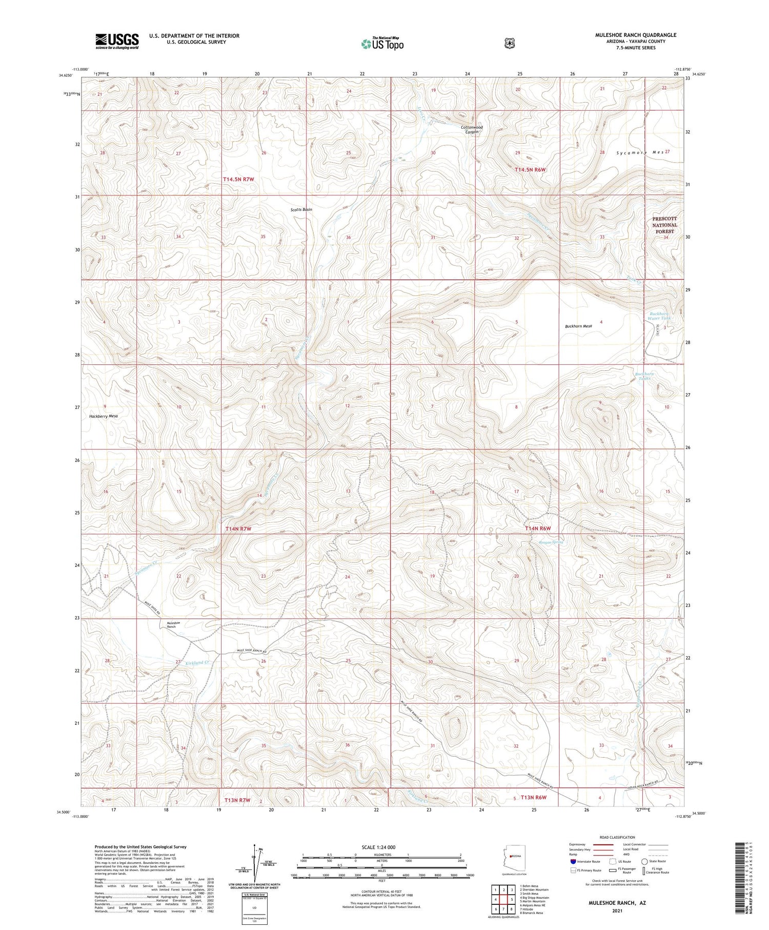
2021 topographic map quadrangle Muleshoe Ranch in the state of Arizona. Scale: 1:24000. Based on the newly updated USGS 7.5' US Topo map series, this map is in the following counties: Yavapai. The map contains contour data, water features, and other items you are used to seeing on USGS maps, but also has updated roads and other features. This is the next generation of topographic maps. Printed on high-quality waterproof paper with UV fade-resistant inks.
Quads adjacent to this one:
West: Big Shipp Mountain
Northwest: Behm Mesa
North: Sheridan Mountain
Northeast: Smith Mesa
East: Martin Mountain
Southeast: Bismarck Mesa
South: Hillside
Southwest: Malpais Mesa NE
This map covers the same area as the classic USGS quad with code o34112e8.
Contains the following named places: Buckhorn Mesa, Buckhorn Tanks, Buckhorn Water Tank, Cottonwood Canyon, Kirkland Creek, Loco Creek, Muleshoe Ranch, Reagan Spring, Scotts Basin, Sycamore Creek, Tank Creek, Yolo Cabin