
MyTopo
Bismarck Mesa Arizona US Topo Map
Couldn't load pickup availability
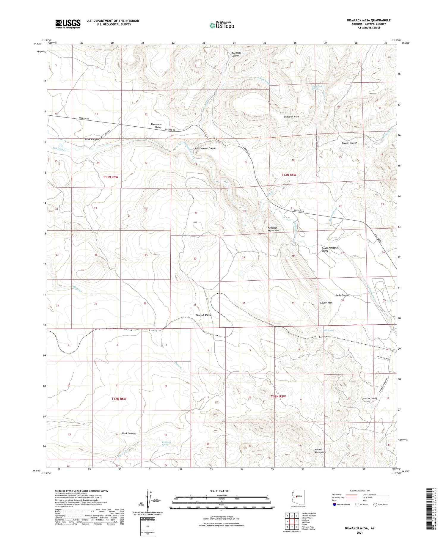
2023 topographic map quadrangle Bismarck Mesa in the state of Arizona. Scale: 1:24000. Based on the newly updated USGS 7.5' US Topo map series, this map is in the following counties: Yavapai. The map contains contour data, water features, and other items you are used to seeing on USGS maps, but also has updated roads and other features. This is the next generation of topographic maps. Printed on high-quality waterproof paper with UV fade-resistant inks.
Quads adjacent to this one:
West: Hillside
Northwest: Muleshoe Ranch
North: Martin Mountain
Northeast: Skull Valley
East: Kirkland
Southeast: Peeples Valley
South: Weaver Peak
Southwest: Date
This map covers the same area as the classic USGS quad with code o34112d7.
Contains the following named places: Alkali Wash, Ash Creek, Bells Canyon, Bells Spring, Bismarck Mesa, Black Canyon, Cottonwood Canyon, Dipper Canyon, Grand View, Grand View Railroad Station, Kendrick Mountains, Lower Kirkland Valley, Moonville Creek, Red Bank Spring, Red Hills Canyon, Squaw Peak, Upper Cook Spring, Wood Creek


