MyTopo
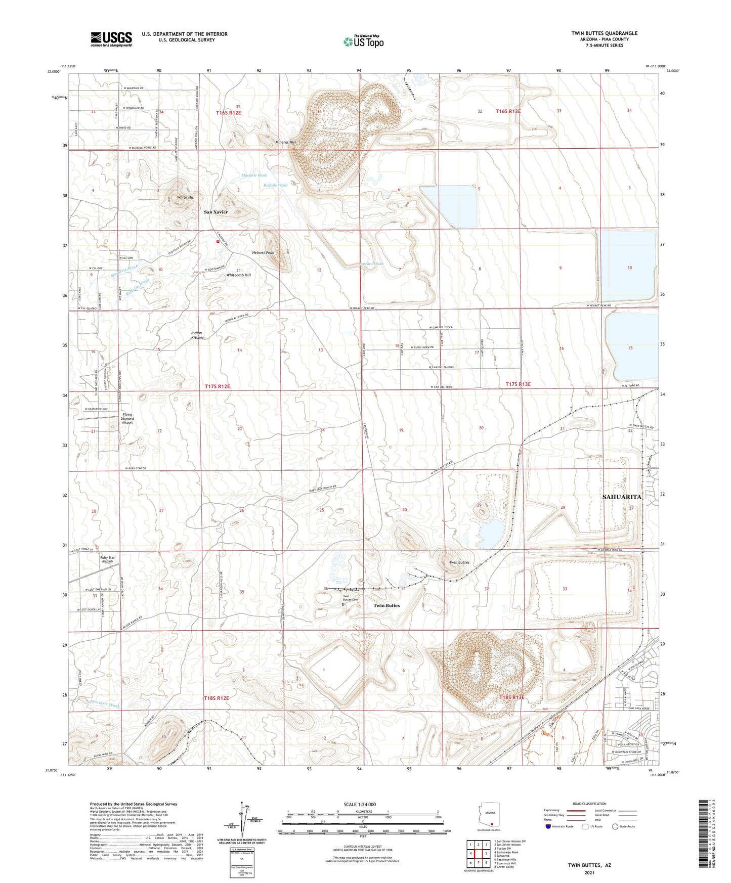
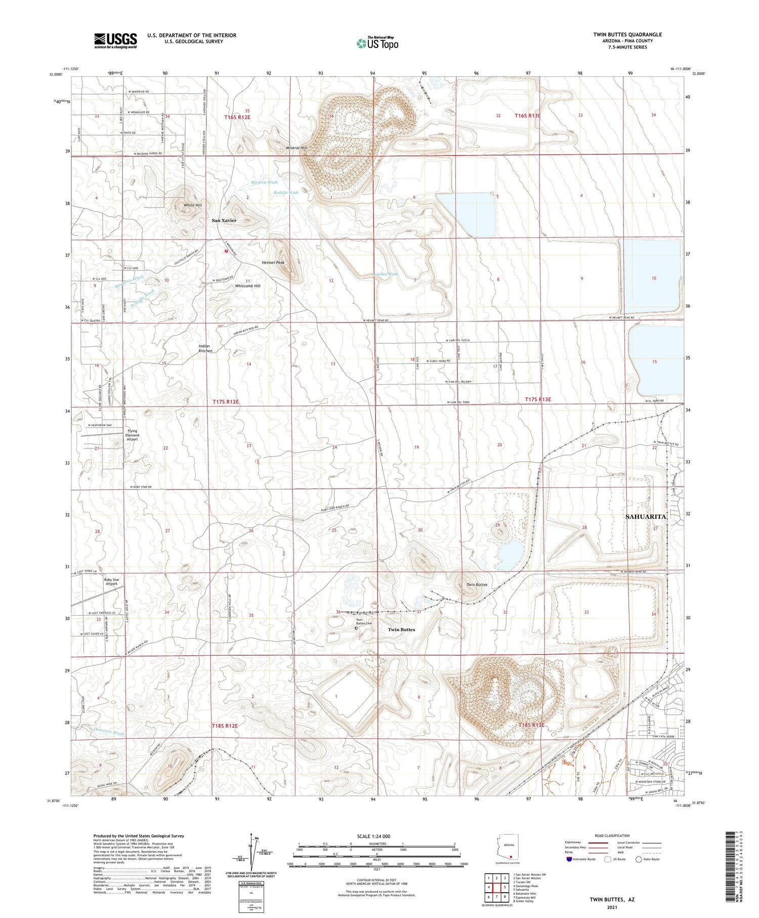
Twin Buttes Arizona US Topo Map
Couldn't load pickup availability
2021 topographic map quadrangle Twin Buttes in the state of Arizona. Scale: 1:24000. Based on the newly updated USGS 7.5' US Topo map series, this map is in the following counties: Pima. The map contains contour data, water features, and other items you are used to seeing on USGS maps, but also has updated roads and other features. This is the next generation of topographic maps. Printed on high-quality waterproof paper with UV fade-resistant inks.
Quads adjacent to this one:
West: Samaniego Peak
Northwest: San Xavier Mission SW
North: San Xavier Mission
Northeast: Tucson SW
East: Sahuarita
Southeast: Green Valley
South: Esperanza Mill
Southwest: Batamote Hills
This map covers the same area as the classic USGS quad with code o31111h1.
Contains the following named places: Angelica Wash, Banner Mine, Bobbie Mine, Dogtown Mine, Duval Commerce Park, Esperanza Tailings Dam, Flying Diamond Airport, Helmet Peak, Helmet Peak Volunteer Fire Department, Indian Kitchen, KGMS-FM (Green Valley), KQYT-FM (Green Valley), Marjorie Wash, Mineral Hill, Mineral Hill Mine, Mission Mine, Mission Tailings Dam Number One, Missions Tailings Dam Number Two, Olivette Mine, Paymaster Mine, Pima Mine, Prosperity Mine, Punta del Agua, Rodolfo Wash, Ruby Star Airpark, Ruby-Star Ranch, San Xavier, San Xavier Mine, Senator Morgan Mine, Swastika Mine, Twin Buttes, Twin Buttes Cemetery, Twin Buttes Mine, Twin Buttes Tailings Dam, University Mine, Vulcan Mine, Whitcomb Hill, White Hill, ZIP Code: 85629


