MyTopo
Sevenmile Mountains Arizona US Topo Map
Couldn't load pickup availability
Also explore the Sevenmile Mountains Forest Service Topo of this same quad for updated USFS data
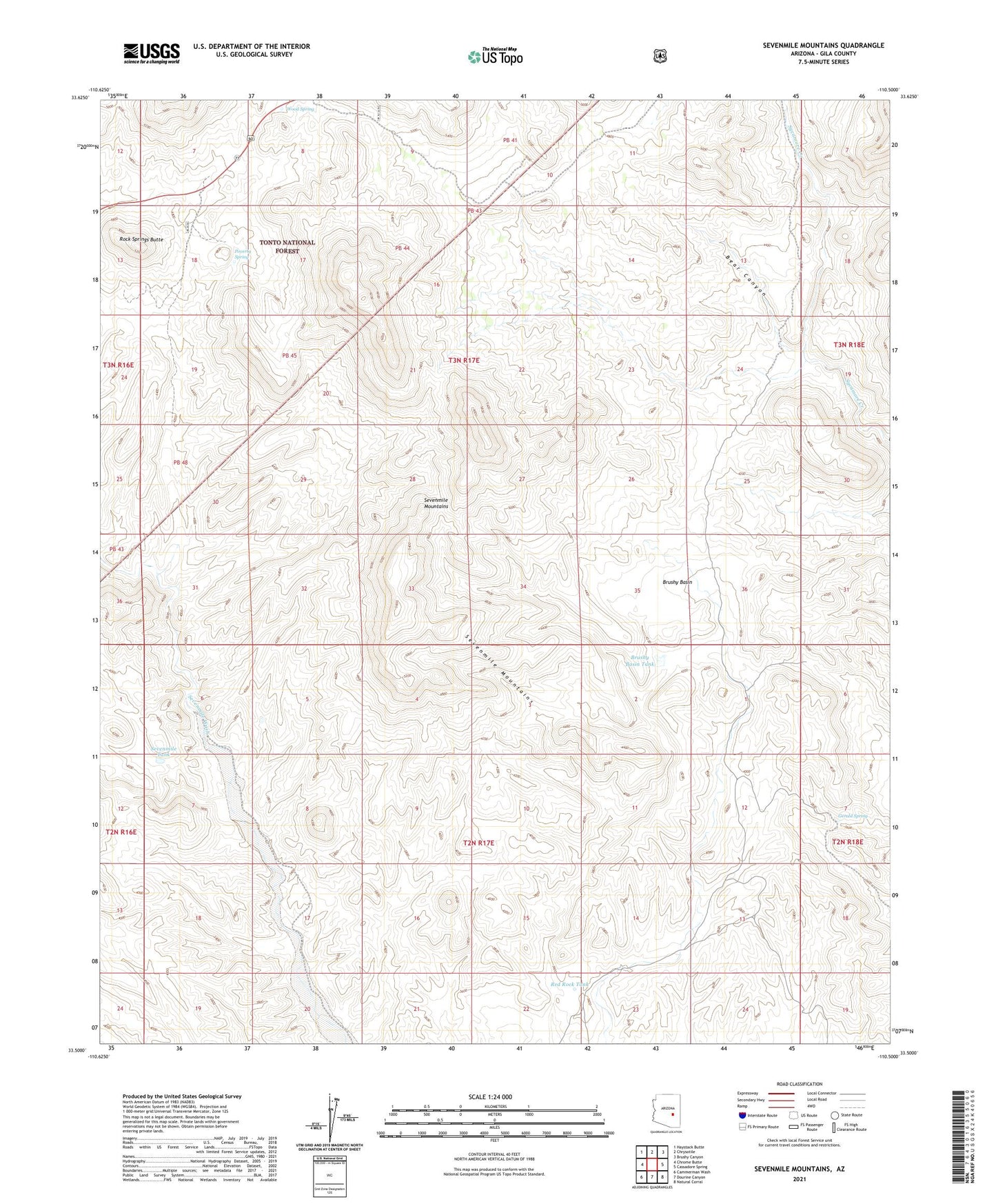
2021 topographic map quadrangle Sevenmile Mountains in the state of Arizona. Scale: 1:24000. Based on the newly updated USGS 7.5' US Topo map series, this map is in the following counties: Gila. The map contains contour data, water features, and other items you are used to seeing on USGS maps, but also has updated roads and other features. This is the next generation of topographic maps. Printed on high-quality waterproof paper with UV fade-resistant inks.
Quads adjacent to this one:
West: Chrome Butte
Northwest: Haystack Butte
North: Chrysotile
Northeast: Brushy Canyon
East: Cassadore Spring
Southeast: Natural Corral
South: Dourine Canyon
Southwest: Cammerman Wash
This map covers the same area as the classic USGS quad with code o33110e5.
Contains the following named places: Bean Belly Well, Bear Canyon, Brushy Basin, Brushy Basin Tank, Coffee Pot Dam, Coffee Pot Well, Corral Creek, Gerald Spring, Jackson Butte Recreation Area, Pigeon Spring Well, Pigeon Tank, Poverty Spring, Red Rock Tank, Red Rock Well, Rock Springs Butte, Sevenmile Camp, Sevenmile Mountains, Sevenmile Tank, Wood Spring