MyTopo
Chrysotile Arizona US Topo Map
Couldn't load pickup availability
Also explore the Chrysotile Forest Service Topo of this same quad for updated USFS data
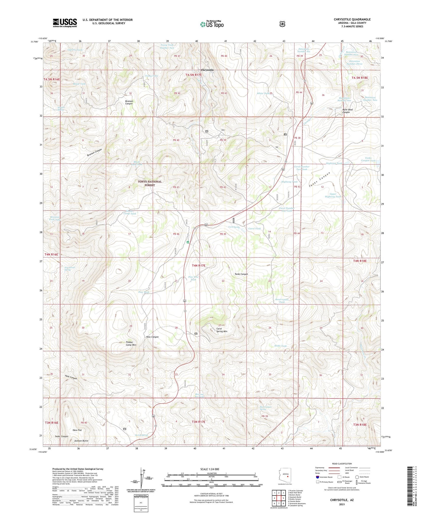
2021 topographic map quadrangle Chrysotile in the state of Arizona. Scale: 1:24000. Based on the newly updated USGS 7.5' US Topo map series, this map is in the following counties: Gila. The map contains contour data, water features, and other items you are used to seeing on USGS maps, but also has updated roads and other features. This is the next generation of topographic maps. Printed on high-quality waterproof paper with UV fade-resistant inks.
Quads adjacent to this one:
West: Haystack Butte
Northwest: Picacho Colorado
North: Mule Hoof Bend
Northeast: Beckers Butte
East: Brushy Canyon
Southeast: Cassadore Spring
South: Sevenmile Mountains
Southwest: Chrome Butte
This map covers the same area as the classic USGS quad with code o33110f5.
Contains the following named places: Basin Tank, Bear Canyon Spring, Black Jack Tank, Borrow Pit Tank, Bronson Trick Tank, Carol Number One Tank, Carol Number Two Tank, Carol Spring, Carol Spring Mountain, Carol Tank, Chrysotile, Cypress Tank, Detention Number Five, Detention Number One, Detention Number Six, Detention Number Three, Detention Number Two, Hess Flat, Hicks Tank, Highway Tank, Highway Tank Dam, Jackson Butte, Jackson Tank, New Corral Spring, Pine Tank, Pine Tree Tank, Rock Spring Well, Sanders Spring, Survey Spring, Tanks Canyon Tank, Timber Camp, Timber Camp Mountain, Timber Camp Tank, Toney Tank, Toney Tank Number Two, Tucker, Turkey Tank, Upper Highway Tank, Upper Highway Tank Dam, White Tank