MyTopo
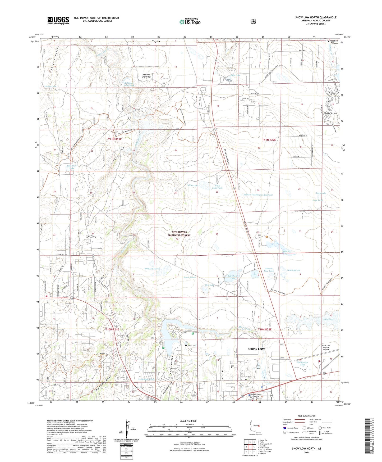
Show Low North Arizona US Topo Map
Couldn't load pickup availability
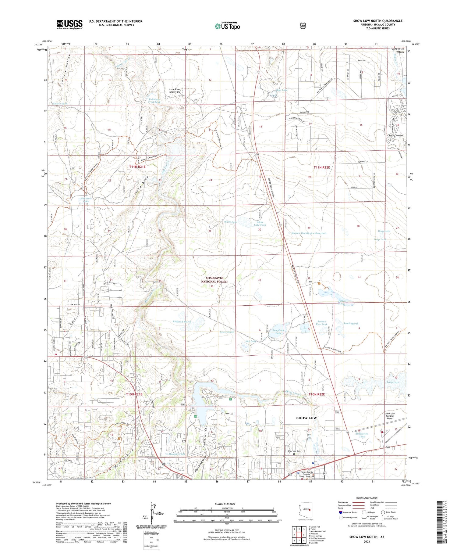
Also explore the Show Low North Forest Service Topo of this same quad for updated USFS data
2021 topographic map quadrangle Show Low North in the state of Arizona. Scale: 1:24000. Based on the newly updated USGS 7.5' US Topo map series, this map is in the following counties: Navajo. The map contains contour data, water features, and other items you are used to seeing on USGS maps, but also has updated roads and other features. This is the next generation of topographic maps. Printed on high-quality waterproof paper with UV fade-resistant inks.
Quads adjacent to this one:
West: Pinedale
Northwest: Cactus Flat
North: Taylor
Northeast: Mesa Redonda NW
East: Silver Springs
Southeast: Lakeside
South: Show Low South
Southwest: Red Top Mountain
This map covers the same area as the classic USGS quad with code o34110c1.
Contains the following named places: Alix Tank, Bagnal Draw, Bills Lake, Bison Golf and Country Club, Bosque Mojado, City of Show Low, City of Show Low Wastewater Treatment Plant, Daggs Dam, Deep Lake, Deep Tank, Deep Well, Divide Well, First Baptist Church of Show Low, Fool Hollow Dam, Fool Hollow East Boat Launch, Fool Hollow West Boat Launch, Fool Stock Tank, Fools Hollow, Fools Hollow Campground, Fools Hollow Lake, Fools Hollow Well, High Country Church of Christ, Hog Wash, Juniper Ridge Recreational Vehicle Resort, KVSL-AM (Show Low), Life School College Preparatory, Linden Draw, Lone Pine Dam, Lone Pine Gravel Pit, Lone Pine Land Fill, Lone Pine Well, Malapai Tank, Navajo County Sheriff's Office District 3 Station, Ned Lake, Paradise Trailer Park, Pearce Ranch, Pintail Lake, Redhead Marsh, Renaissance Academy John Reeder Campus, Right Hand Draw, Robinson Trail Crossing, Robinson Trail Tank, Roundy Crossing, Section Five Tank, Section Twentynine Reservoir, Sequoia Village School, Show Low, Show Low Cemetery, Show Low High School, Show Low Junior High School, Show Low Police Department, Show Low Primary School, Show Low Regional Airport, Show Low Town Hall, Sink Hole Lake, South Marsh, Substation Tank, Telephone Lake, Thistle Tank, Timber Mesa Fire And Medical District Fire Station 16 Airport, Timber Mesa Fire And Medical District Fire Station 17, Timber Mesa Fire And Medical District Fire Station15, Trophy Lake, Trophy Lake Dam, Venture In Recreational Vehicle Resort, Venture In Resort Mobile Home Park, Whipple Well, White Lake, White Lake Divide, White Lake Tank, White Mountain Life Church Assembly of God, White Mountain United Methodist Church, ZIP Code: 85901