MyTopo
Stevens Mountain Arizona US Topo Map
Couldn't load pickup availability
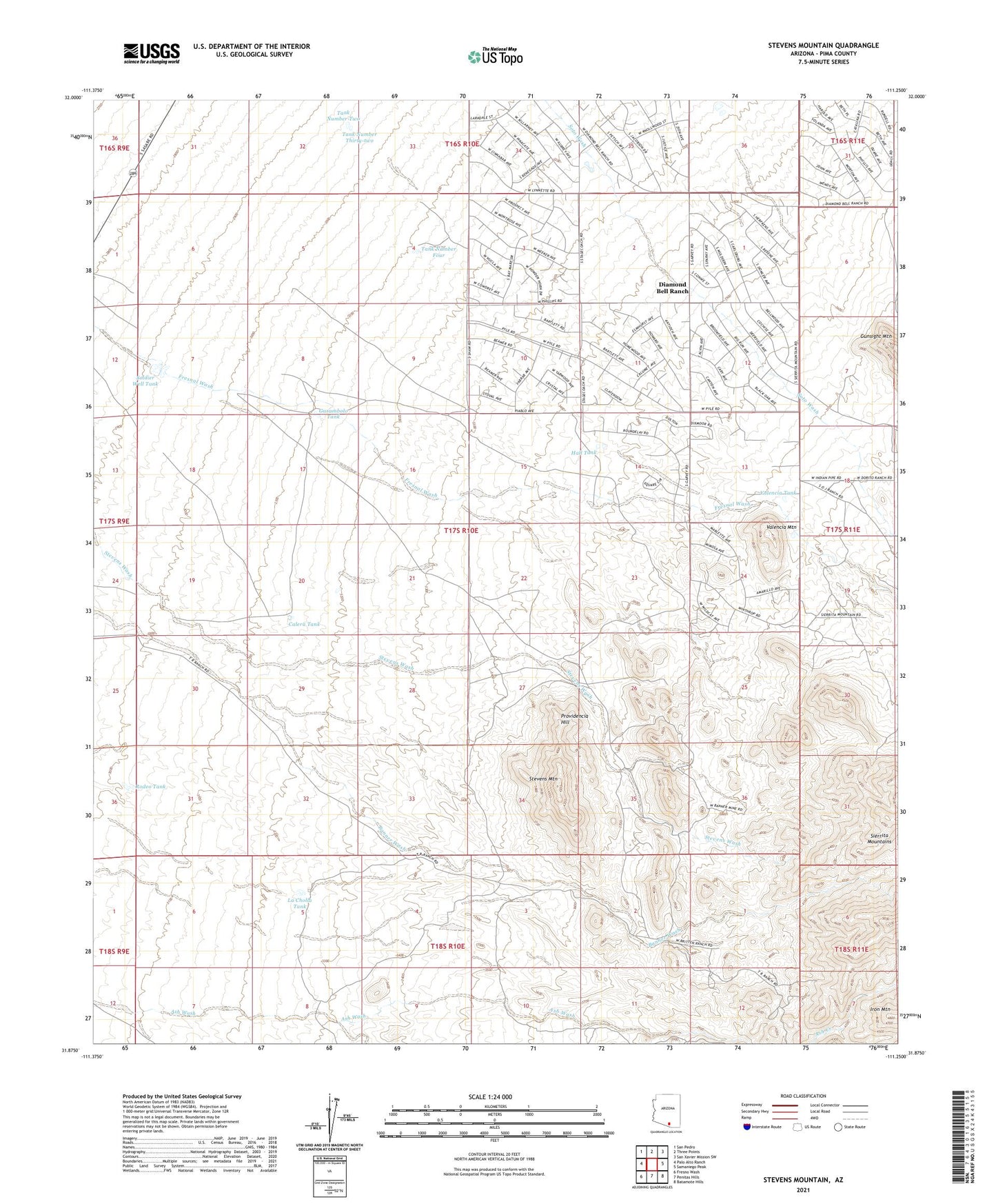
2021 topographic map quadrangle Stevens Mountain in the state of Arizona. Scale: 1:24000. Based on the newly updated USGS 7.5' US Topo map series, this map is in the following counties: Pima. The map contains contour data, water features, and other items you are used to seeing on USGS maps, but also has updated roads and other features. This is the next generation of topographic maps. Printed on high-quality waterproof paper with UV fade-resistant inks.
Quads adjacent to this one:
West: Palo Alto Ranch
Northwest: San Pedro
North: Three Points
Northeast: San Xavier Mission SW
East: Samaniego Peak
Southeast: Batamote Hills
South: Penitas Hills
Southwest: Fresno Wash
This map covers the same area as the classic USGS quad with code o31111h3.
Contains the following named places: Aguajita Well, Aguinaldo Mine, Ash Creek, Banner Mine, Black Dike Mine, Britten Ranch, Calera Tank, Clark Mine, Copper Glance Mine, Diamond Bell Ranch, Garambolo Tank, Gold Hill Mine, Hall Tank, Iron Mountain, La Cholla Tank, Little Johnny Mine, Mollen Well, Montezuma Mine, Philimena Mine, Providencia Hill, Rodeo Tank, Soldier Well Tank, Stevens Mountain, Stevens Ranch, Sunshine Mine, Tank Number Four, Tank Number Thirty-two, Valencia Mountain, Valencia Tank, Yellow Bird Mine, ZIP Code: 85736