MyTopo
Three Points Arizona US Topo Map
Couldn't load pickup availability
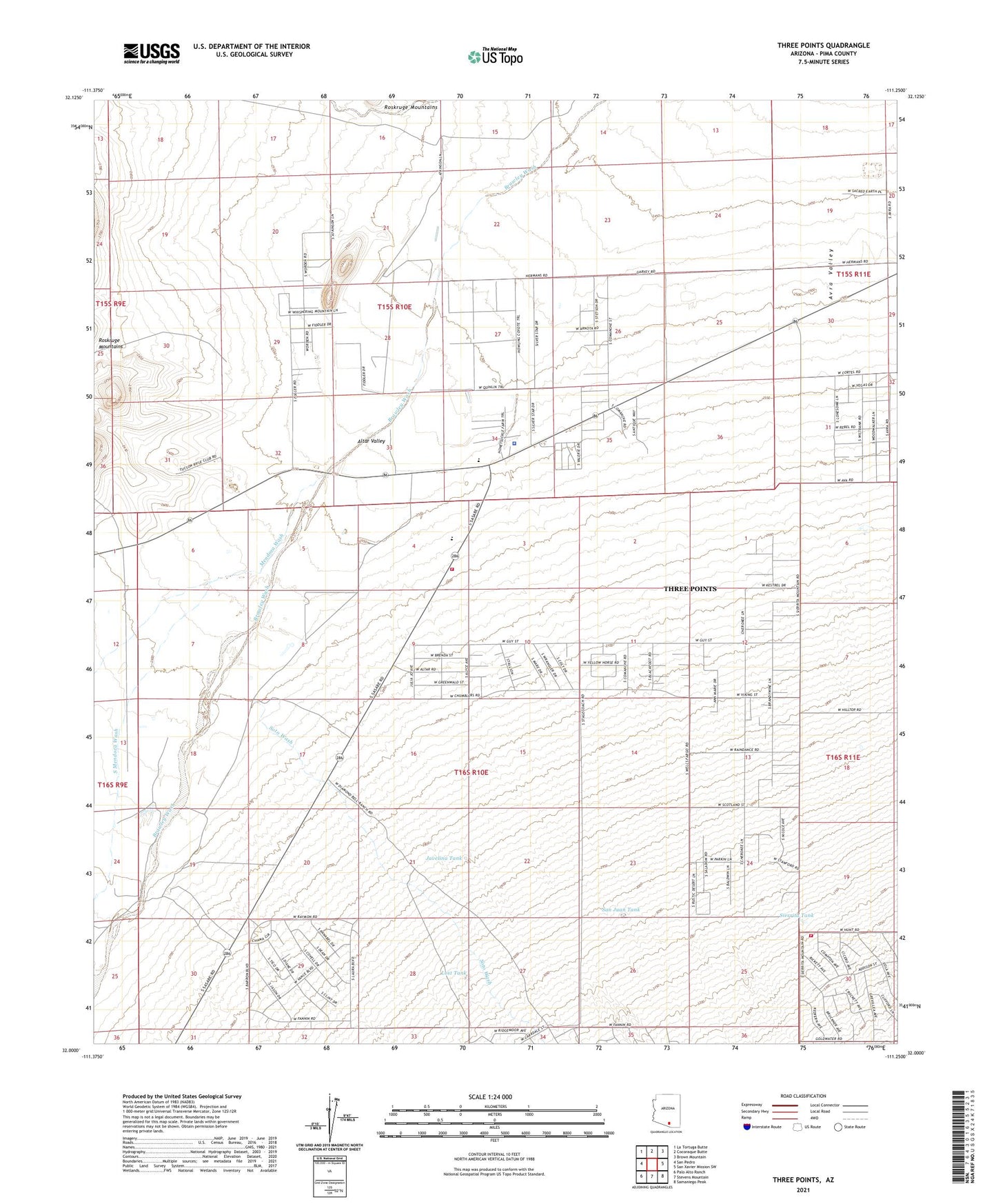
2021 topographic map quadrangle Three Points in the state of Arizona. Scale: 1:24000. Based on the newly updated USGS 7.5' US Topo map series, this map is in the following counties: Pima. The map contains contour data, water features, and other items you are used to seeing on USGS maps, but also has updated roads and other features. This is the next generation of topographic maps. Printed on high-quality waterproof paper with UV fade-resistant inks.
Quads adjacent to this one:
West: San Pedro
Northwest: La Tortuga Butte
North: Cocoraque Butte
Northeast: Brown Mountain
East: San Xavier Mission SW
Southeast: Samaniego Peak
South: Stevens Mountain
Southwest: Palo Alto Ranch
This map covers the same area as the classic USGS quad with code o32111a3.
Contains the following named places: Altar Valley Middle School, Beers Well, Corner Windmill, Javelina Tank, Lost Tank, Mary E Dill Primary School Historical Site, Mendoza Wash, North Well, Ppep Tec High School Robles Junction Learning Center, Robles Elementary School, Robles Junction, San Juan Tank, San Juan Well, Santa Teresa Well, Serenity Baptist Church, Sierrita Tank, Soto Wash, South Mendoza Wash, Spaulding Well, Three Points, Three Points Census Designated Place, Three Points Fire Station 301, ZIP Code: 85735