MyTopo
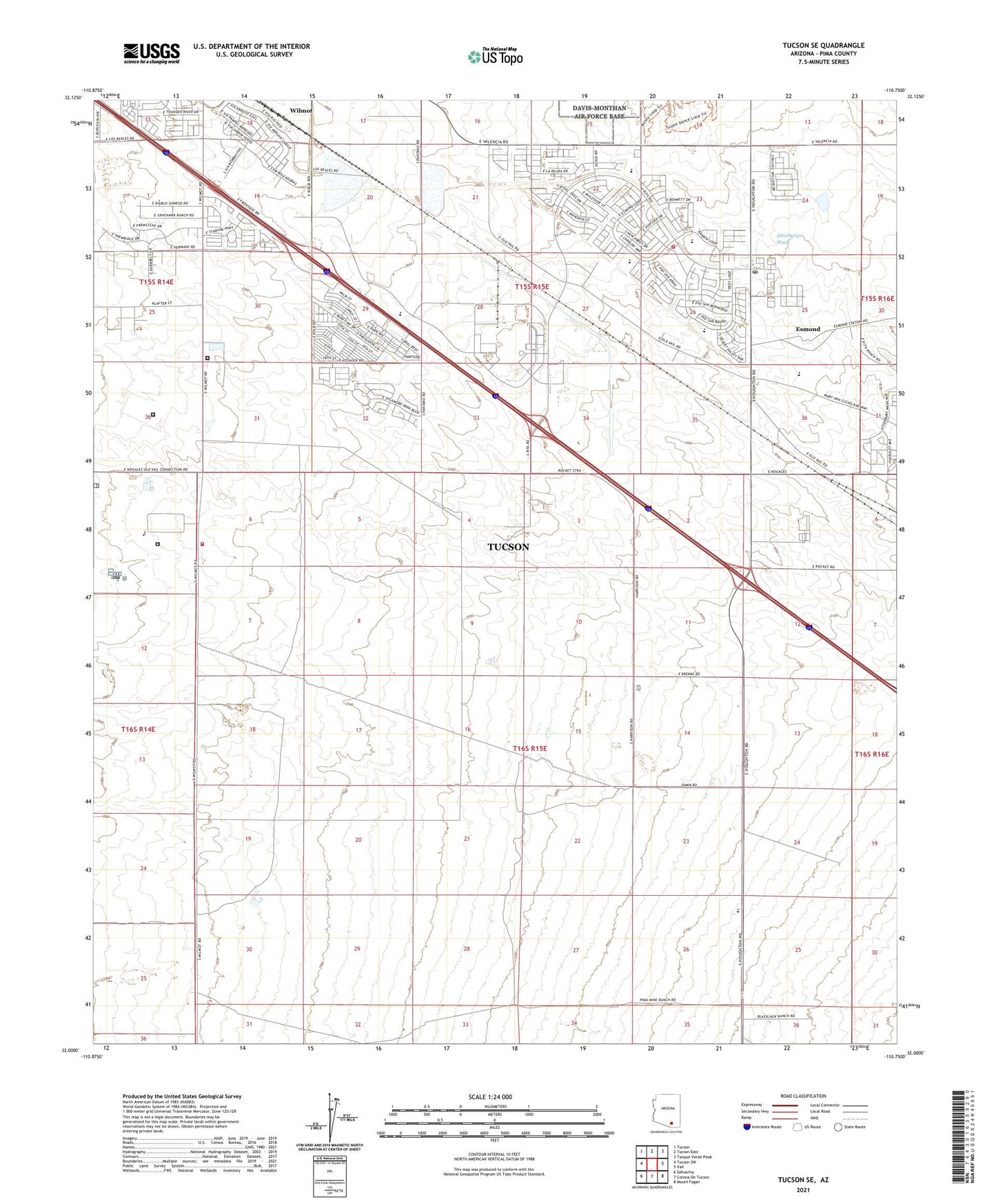
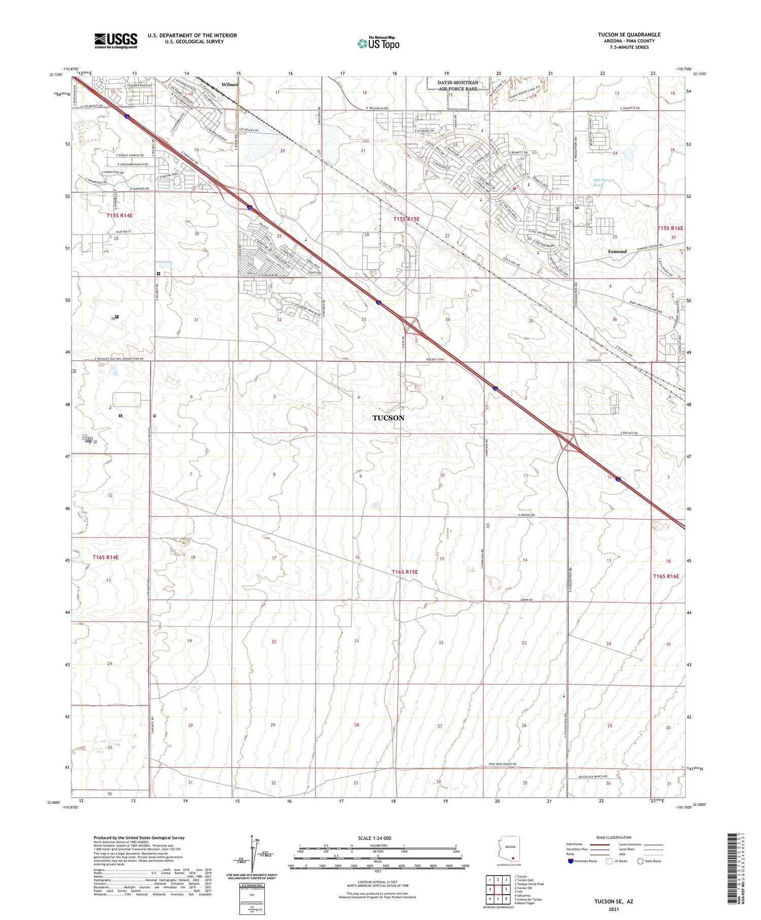
Tucson SE Arizona US Topo Map
Couldn't load pickup availability
2021 topographic map quadrangle Tucson SE in the state of Arizona. Scale: 1:24000. Based on the newly updated USGS 7.5' US Topo map series, this map is in the following counties: Pima. The map contains contour data, water features, and other items you are used to seeing on USGS maps, but also has updated roads and other features. This is the next generation of topographic maps. Printed on high-quality waterproof paper with UV fade-resistant inks.
Quads adjacent to this one:
West: Tucson SW
Northwest: Tucson
North: Tucson East
Northeast: Tanque Verde Peak
East: Vail
Southeast: Mount Fagan
South: Corona De Tucson
Southwest: Sahuarita
This map covers the same area as the classic USGS quad with code o32110a7.
Contains the following named places: Arizona Correctional Training Facility, Arizona State Prison Complex Tucson, Corona Speedway, Cottonwood Elementary School, Desert Sky Middle School, Desert Willow Elementary School, El Paso Natural Gas Company Compressor Station, Empire High School, Esmond, Federal Correctional Institution Tucson, Franco Ranch, Mesquite Elementary School, Nogales Substation, Omni Range Radio Facility, Pantano High School, Pima Air Museum, Pima County Fairgrounds, Pima Ramada Mobile Home Park, Regina School, Regional Public Safety Training Academy Heliport, Rita Ranch Post Office, Rural / Metro Fire Department Support Station 78, Shoppes at Rita Ranch, Tucson Fire Department Station 19, Tucson Fire Department Station 6, Tucson Police Department Academy, United States Penitentiary Tucson, Vail Academy and High School, Voyager Golf Course, Voyager Recreational Vehicle Resort, Wilmot, Wilmot Railroad Station, ZIP Code: 85747


