MyTopo
West of Avra Arizona US Topo Map
Couldn't load pickup availability
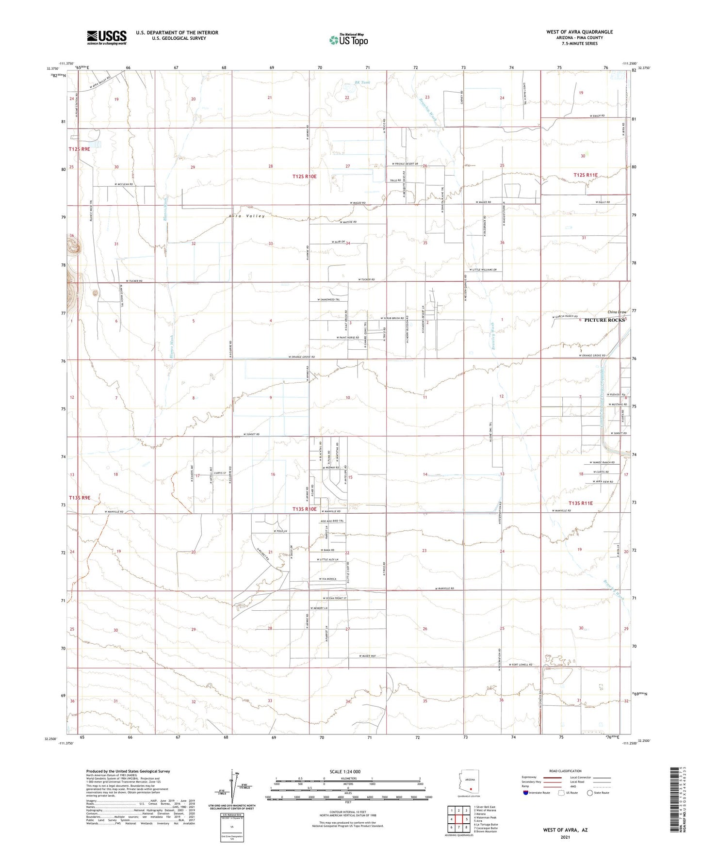
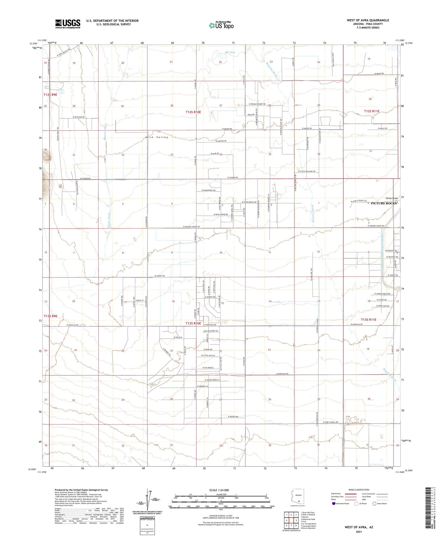
2021 topographic map quadrangle West of Avra in the state of Arizona. Scale: 1:24000. Based on the newly updated USGS 7.5' US Topo map series, this map is in the following counties: Pima. The map contains contour data, water features, and other items you are used to seeing on USGS maps, but also has updated roads and other features. This is the next generation of topographic maps. Printed on high-quality waterproof paper with UV fade-resistant inks.
Quads adjacent to this one:
West: Waterman Peak
Northwest: Silver Bell East
North: West of Marana
Northeast: Marana
East: Avra
Southeast: Brown Mountain
South: Cocoraque Butte
Southwest: La Tortuga Butte
This map covers the same area as the classic USGS quad with code o32111c3.
Contains the following named places: Avra Cotton Gin, BK Tank, Palm Valley Tucson Airport, Picture Rocks Census Designated Place, Taylor Field, The Ultralight Strip Ultralight Flightpark, Tucson Compressor Station, Western Avra Cotton Gin