MyTopo
Brickeys Arkansas US Topo Map
Couldn't load pickup availability
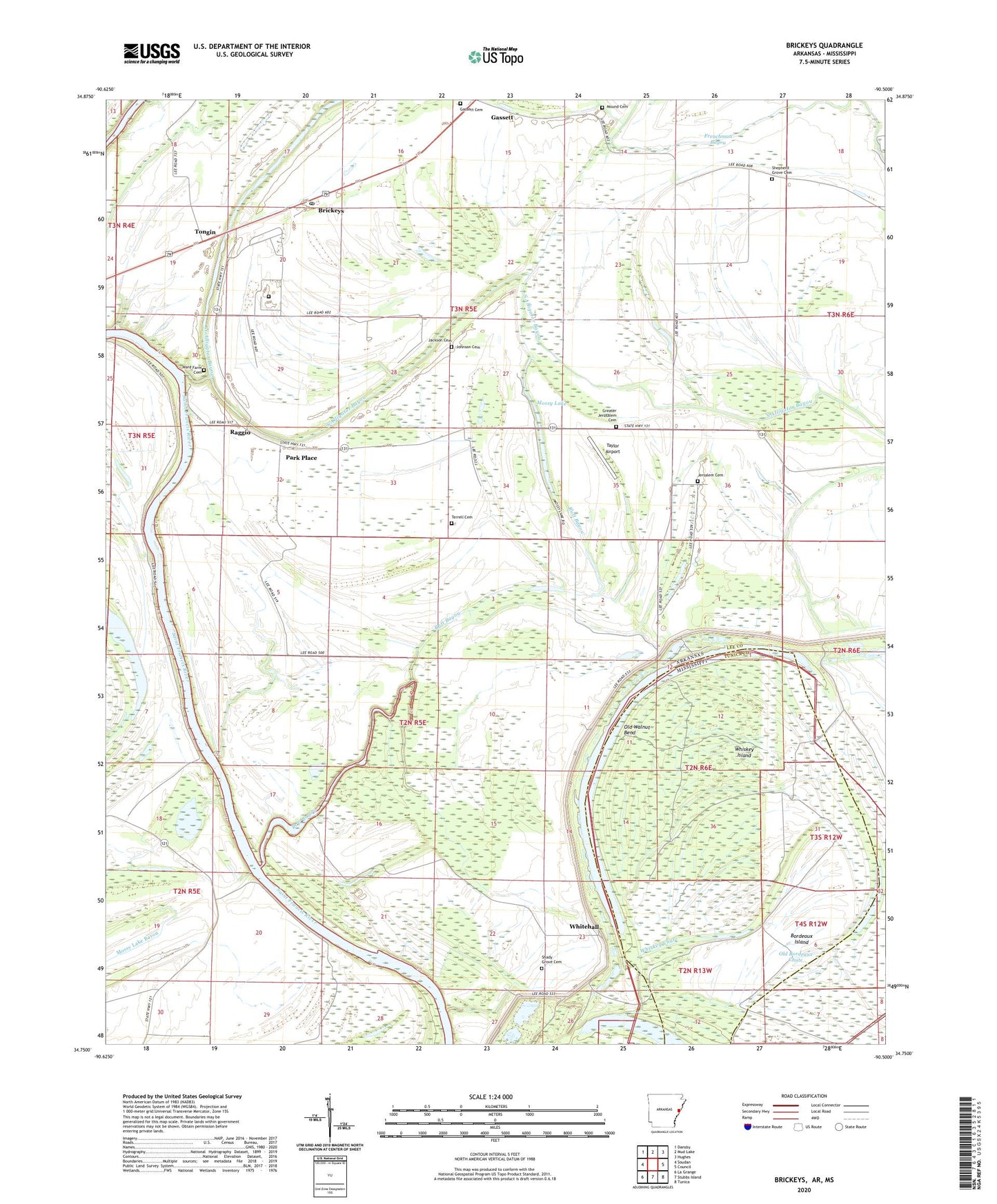
2024 topographic map quadrangle Brickeys in the states of Arkansas, Mississippi. Scale: 1:24000. Based on the newly updated USGS 7.5' US Topo map series, this map is in the following counties: Lee, Tunica. The map contains contour data, water features, and other items you are used to seeing on USGS maps, but also has updated roads and other features. This is the next generation of topographic maps. Printed on high-quality waterproof paper with UV fade-resistant inks.
Quads adjacent to this one:
West: Soudan
Northwest: Dansby
North: Mud Lake
Northeast: Hughes
East: Council
Southeast: Tunica
South: Stubbs Island
Southwest: La Grange
Contains the following named places: Alligator Bayou, Antioch Church, Antioch School, Arkansas Department of Corrections East Arkansas Regional Unit, Askew, Beck, Bethlehem Church, Bordeaux Island, Brickeys, Brickeys Community Baptist Church, Brickeys Post Office, Brickeys School, Community Church, Council School, Eastwood School, Eight Mile Reach, Frenchman Bayou, Gassett, Gassett Cemetery, Greater Jerusalem Cemetery, Greater Jerusalem Church, Haven Chapel, Holcomb Bayou, Jackson Cemetery, Jersalem Cemetery, Jerusalem Church, Johnson Cemetery, Kincade Bayou, Midway Lake, Mossy Lake, Mound Cemetery, Nash Ridge School, North Alligator Bayou, Old Bordeaux Chute, Old River Lake, Old Walnut Bend, Park Place, Pleasant Valley School, Raft Bayou, Raggio, Red Oak Ferry, Round Pond, Saint Johns Missionary Baptist Church, Shady Grove Cemetery, Shady Grove Church, Shepherd Grove Cemetery, Shepherd Grove Missionary Baptist Church, Shepherd Grove School, South Alligator Bayou, Spencer Place, Taylor Airport, Terrell Cemetery, Tongin, Township of Saint Francis, Township of Walnut, Union Liberty Missionary Baptist Church, Union Liberty School, Ward Farm Cemetery, Whiskey Chute, Whiskey Island, Whitehall, Whitehall School, ZIP Code: 72320


