MyTopo
Charleston Arkansas US Topo Map
Couldn't load pickup availability
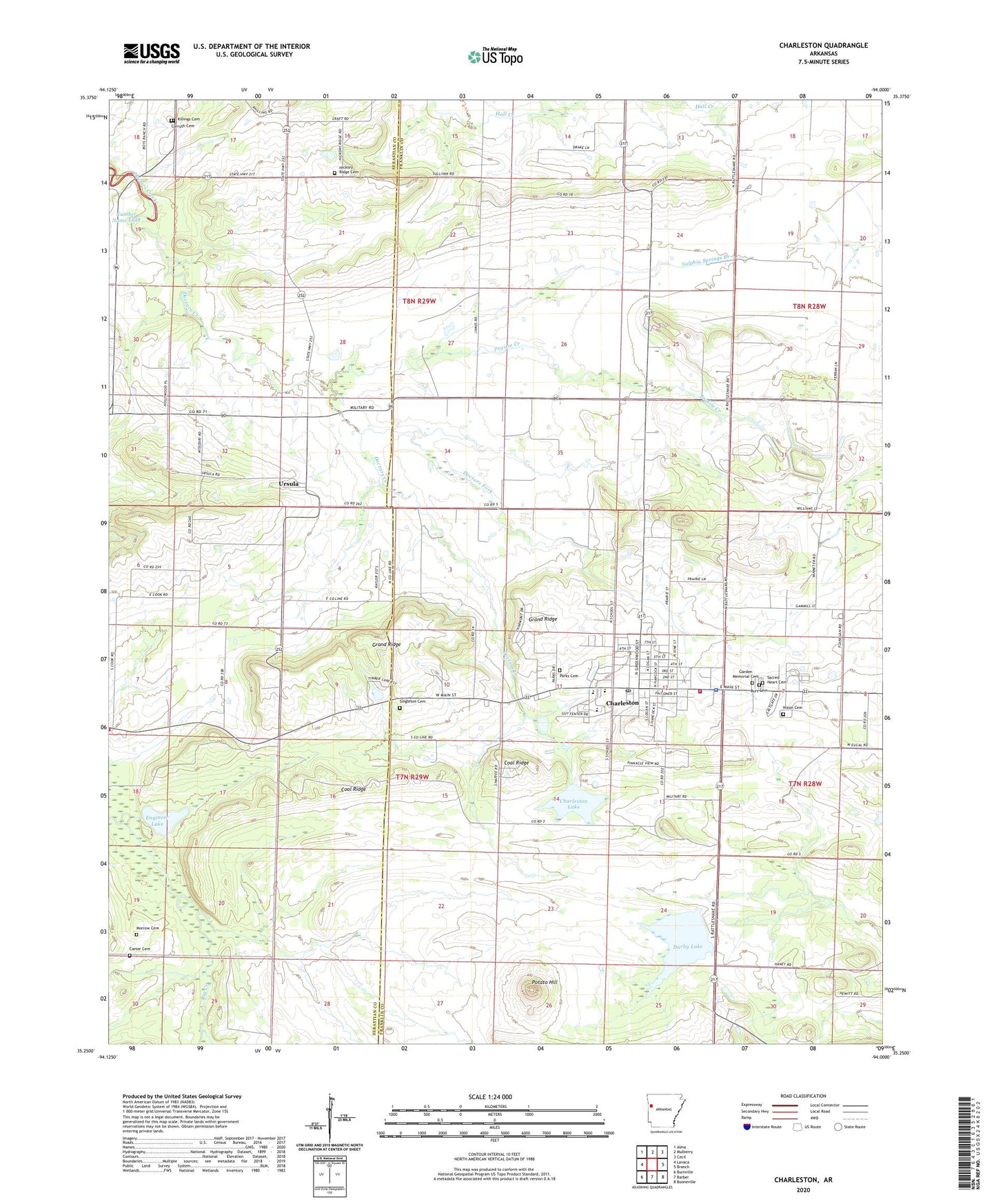
2024 topographic map quadrangle Charleston in the state of Arkansas. Scale: 1:24000. Based on the newly updated USGS 7.5' US Topo map series, this map is in the following counties: Franklin, Sebastian. The map contains contour data, water features, and other items you are used to seeing on USGS maps, but also has updated roads and other features. This is the next generation of topographic maps. Printed on high-quality waterproof paper with UV fade-resistant inks.
Quads adjacent to this one:
West: Lavaca
Northwest: Alma
North: Mulberry
Northeast: Cecil
East: Branch
Southeast: Booneville
South: Barber
Southwest: Burnville
This map covers the same area as the classic USGS quad with code o35094c1.
Contains the following named places: Beverly, Burt Cemetery, Carruth Cemetery, Carter Cemetery, Charleston, Charleston Elementary School, Charleston Fire and Rescue Department, Charleston High School, Charleston Lake, Charleston Police Department, Charleston Post Office, City of Charleston, Coal Ridge, Darby Lake, Doctors Fork, Engineer Lake, Engineer Lake Dam, Garden Of Memories Cemetery, Grand Ridge, Hickory Ridge Cemetery, Killings Cemetery, Lake Charleston Dam, Marietta Church, Morrow Cemetery, Nixon Cemetery, Parks Cemetery, Potato Hill, Prairie Creek, Rosenwall School, Sacred Heart Cemetery, Singleton Cemetery, Sixmile Creek Site 14 Dam, Sixmile Creek Site 14 Reservoir, Sulphia Springs Branch, Thessing, Township of Beverly, Township of Bloomer, Township of Prairie, Township of Weaver, Ursula, ZIP Code: 72933