MyTopo
Clarkridge Arkansas US Topo Map
Couldn't load pickup availability
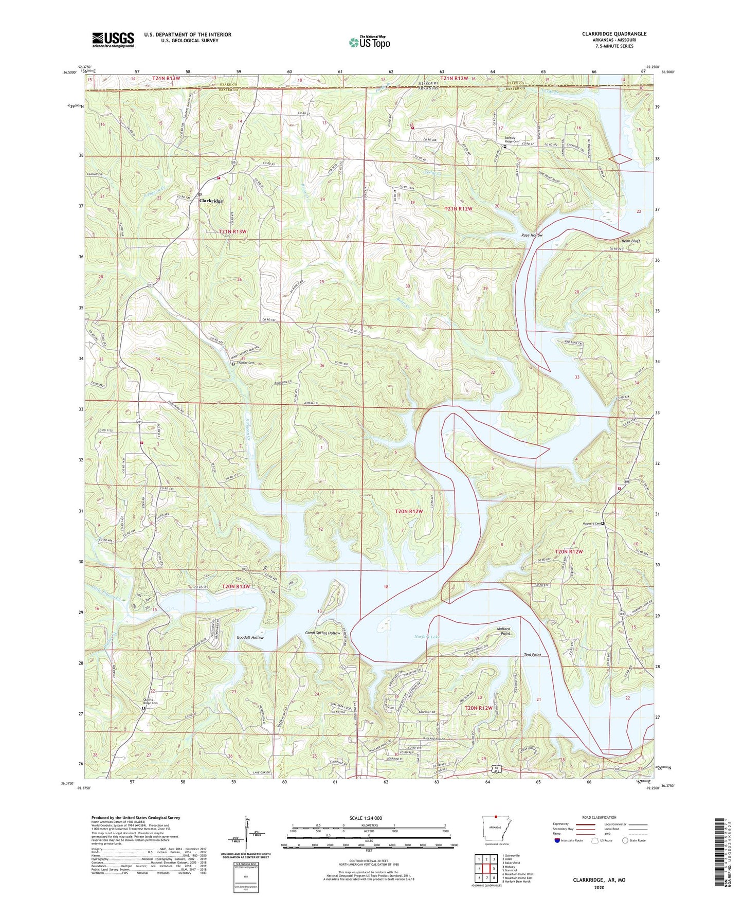
2024 topographic map quadrangle Clarkridge in the state of Arkansas. Scale: 1:24000. Based on the newly updated USGS 7.5' US Topo map series, this map is in the following counties: Baxter, Ozark. The map contains contour data, water features, and other items you are used to seeing on USGS maps, but also has updated roads and other features. This is the next generation of topographic maps. Printed on high-quality waterproof paper with UV fade-resistant inks.
Quads adjacent to this one:
West: Midway
Northwest: Gainesville
North: Udall
Northeast: Bakersfield
East: Gamaliel
Southeast: Norfork Dam North
South: Mountain Home East
Southwest: Mountain Home West
Contains the following named places: 101 Gamaliel Volunteer Fire Protection District, 72623, Bean Bluff, Bentley Ridge Cemetery, Biems Ford, Briar Creek, Camp Spring Hollow, Cedar Creek, Church of Christ, Clarkridge, Clarkridge Post Office, Clarkridge Volunteer Fire Department, Clarkridge Volunteer Fire Department Station 3, Clarkridge Volunteer Fire Department Substation 1, Cranfield Landing, Cranfield Use Area, Dogwood Park, East Pigeon Creek, Fawn Park, Fords Branch, Goodall Hollow, Granfiled Ferry, Kingswood Estates, Lakeside Terrace, Little Pigeon Creek, Mallard Point, Maynard Cemetery, Norfork Lake, One Hundred One Church, Pigeon Creek, Pigeon Creek Public Use Area, Quality Ridge Cemetery, Quality Ridge School, Red Bank Landing, Red Bank Use Area, Rose Hollow, Seward Point Public Use Area, Teal Point, Thacker Cemetery, Township of Pigeon, Walker Creek, Zion Church