MyTopo
Denver Arkansas US Topo Map
Couldn't load pickup availability
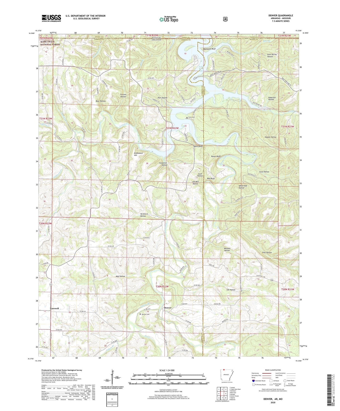
2024 topographic map quadrangle Denver in the state of Arkansas. Scale: 1:24000. Based on the newly updated USGS 7.5' US Topo map series, this map is in the following counties: Carroll, Boone, Taney, Stone. The map contains contour data, water features, and other items you are used to seeing on USGS maps, but also has updated roads and other features. This is the next generation of topographic maps. Printed on high-quality waterproof paper with UV fade-resistant inks.
Quads adjacent to this one:
West: Blue Eye
Northwest: Lampe
North: Table Rock Dam
Northeast: Hollister
East: Omaha
Southeast: Batavia
South: Alpena
Southwest: Green Forest
Contains the following named places: Backbone Bluff, Bear Hollow, Blair Branch, Blevens Hollow, Callens Branch, Carpenter Hollow, Cave Hollow, Cove Hollow, Cranenest Creek, Cricket Creek, Cricket Creek Public Use Area, Davis Bluff, Denver, Denver Cemetery, Denver Post Office, Dry Creek, Enon, Enon Cemetery, Farewell, Farwell School, Fortner Hollow, Gum Spring Hollow, Hopper Hollow, Hurt Hollow, Jim Mill Hollow, Kimhowart Hill, Lee Hollow, Long Creek, May Hollow, Mills Branch, Pine Hollow, Raum, Raven Bluff, Red Bluff, Roberson Hollow, Spring Creek, Stillhouse Creek, Tereherst Hollow, Township of Long Creek, Township of Young, White Oak Hollow, Yocum Creek


