MyTopo
Batavia Arkansas US Topo Map
Couldn't load pickup availability
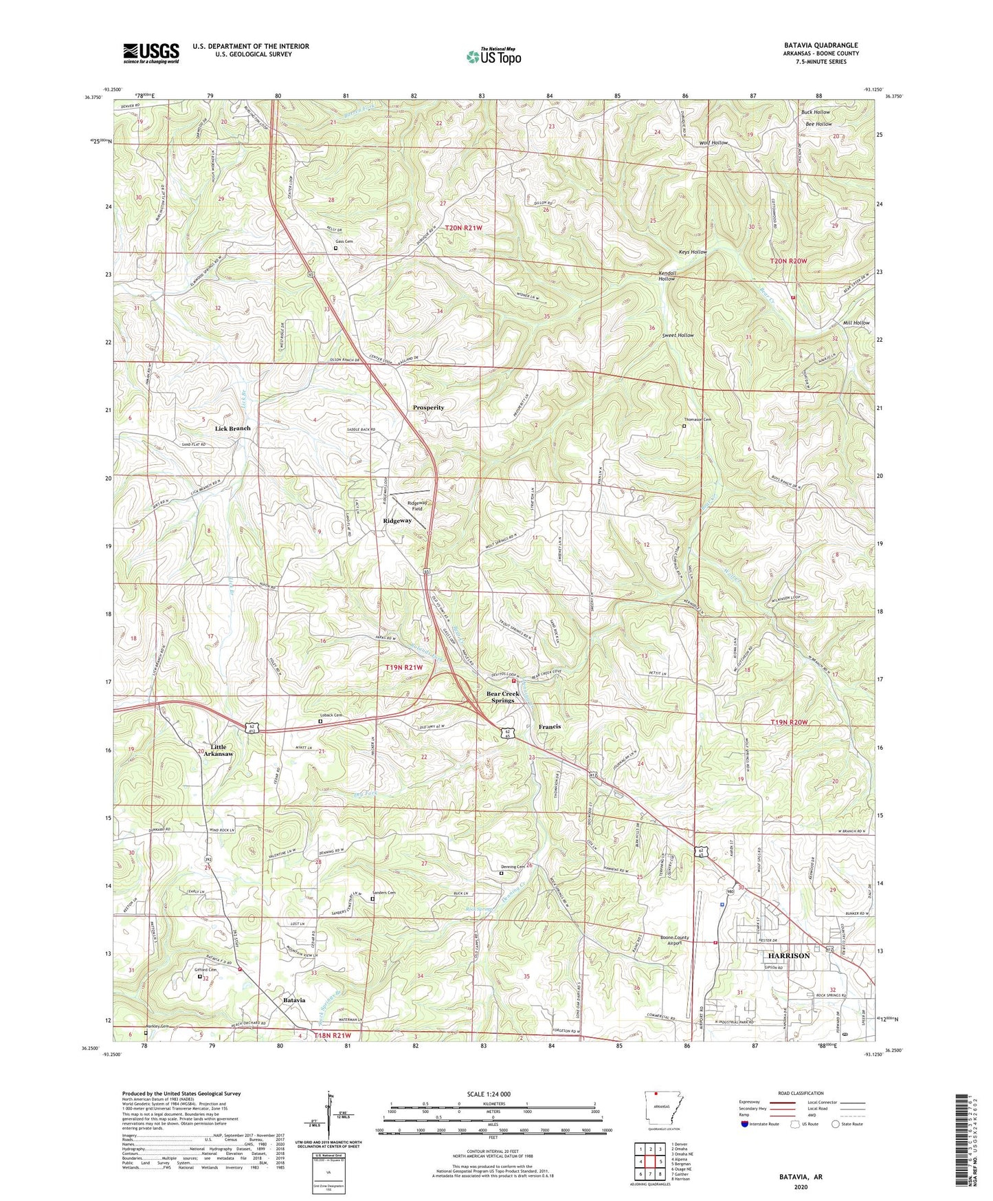
2024 topographic map quadrangle Batavia in the state of Arkansas. Scale: 1:24000. Based on the newly updated USGS 7.5' US Topo map series, this map is in the following counties: Boone. The map contains contour data, water features, and other items you are used to seeing on USGS maps, but also has updated roads and other features. This is the next generation of topographic maps. Printed on high-quality waterproof paper with UV fade-resistant inks.
Quads adjacent to this one:
West: Alpena
Northwest: Denver
North: Omaha
Northeast: Omaha NE
East: Bergman
Southeast: Harrison
South: Gaither
Southwest: Osage NE
This map covers the same area as the classic USGS quad with code o36093c2.
Contains the following named places: Air - Evacuation Lifeteam 40, Arkansas State Police Troop I, Auman Cemetery, Auman Church, Batavia, Bear Creek Springs, Bear Creek Springs Baptist Church, Boone County Airport, Capps - Batavia Fire Department Ridgeway Station, Capps - Batavia Fire Station, Cottonwood Fire Department Station 2, Denning Cemetery, Denning Creek, Dry Fork, Evangel Bible Church, Francis, Gass Cemetery, Gifford Cemetery, Harrison Country Club, Harrison Fire Department Station 3, Harrison Post Office, John Paul Hammerschmidt Post Office Building, Kendall Hollow, Keys Hollow, Liberty Assembly of God Church, Lick Branch, Little Arkansaw, Loback Cemetery, Markley Cemetery, Mill Hollow, Prosperity, Ridgeway, Ridgeway Church of Christ, Ridgeway Field, Rock Springs, Rock Springs Branch, Rolands Fork, Sanders Cemetery, Shady Grove Church, Shawnee Valley Boys Ranch, Sweet Hollow, Thomason Cemetery, Township of Batavia, Township of Jackson, Upland Church, Wolf Creek, Younes Shopping Center