MyTopo
Green Forest Arkansas US Topo Map
Couldn't load pickup availability
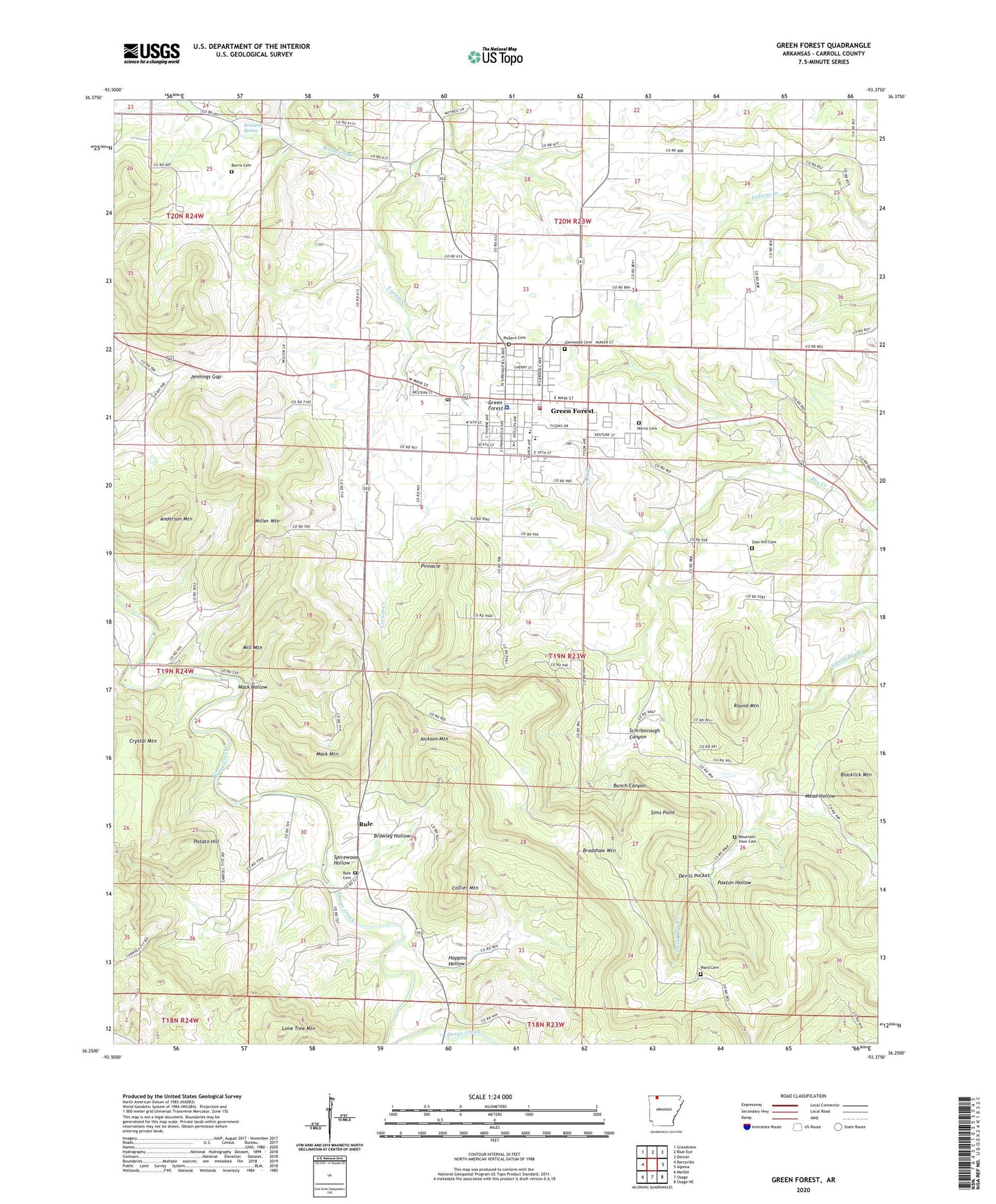
2024 topographic map quadrangle Green Forest in the state of Arkansas. Scale: 1:24000. Based on the newly updated USGS 7.5' US Topo map series, this map is in the following counties: Carroll. The map contains contour data, water features, and other items you are used to seeing on USGS maps, but also has updated roads and other features. This is the next generation of topographic maps. Printed on high-quality waterproof paper with UV fade-resistant inks.
Quads adjacent to this one:
West: Berryville
Northwest: Grandview
North: Blue Eye
Northeast: Denver
East: Alpena
Southeast: Osage NE
South: Osage
Southwest: Marble
This map covers the same area as the classic USGS quad with code o36093c4.
Contains the following named places: Anderson Mountain, Blacklick Mountain, Bradshaw Mountain, Brasswell Spring, Braswell Branch, Braswell Spring, Braswell Springs School, Brawley Hollow, Bunch Canyon, Burris Cemetery, City of Green Forest, Collier Mountain, Crystal Mountain, Devils Pocket, First Baptist Church, Glenwood Cemetery, Green Forest, Green Forest Elementary School, Green Forest High School, Green Forest Police Department, Green Forest Post Office, Green Forest Volunteer Fire Department, Green Forrest Intermediate School, Hoppins Hollow, Jackson Mountain, Jennings Gap, Lone Tree Mountain, Mack Hollow, Mack Mountain, Mead Hollow, Mill Mountain, Miller Mountain, Mountain View Cemetery, New Town, Norris Cemetery, Norton, Paxton Hollow, Pickens Cemetery, Pinnacle, Potato Hill, Round Mountain, Rule, Rule Cemetery, Rule School, Saint John's Emergency Medical Service Carroll County, Schriborough Canyon, Sims Point, Spicewood Hollow, Township of Hickory, Township of Liberty, Trinity Free Will Baptist Church, Union Church, Ward Cemetery, Ward Church, Zion Hill Cemetery, Zion Hill Church, ZIP Code: 72638


