MyTopo
Eudora North Arkansas US Topo Map
Couldn't load pickup availability
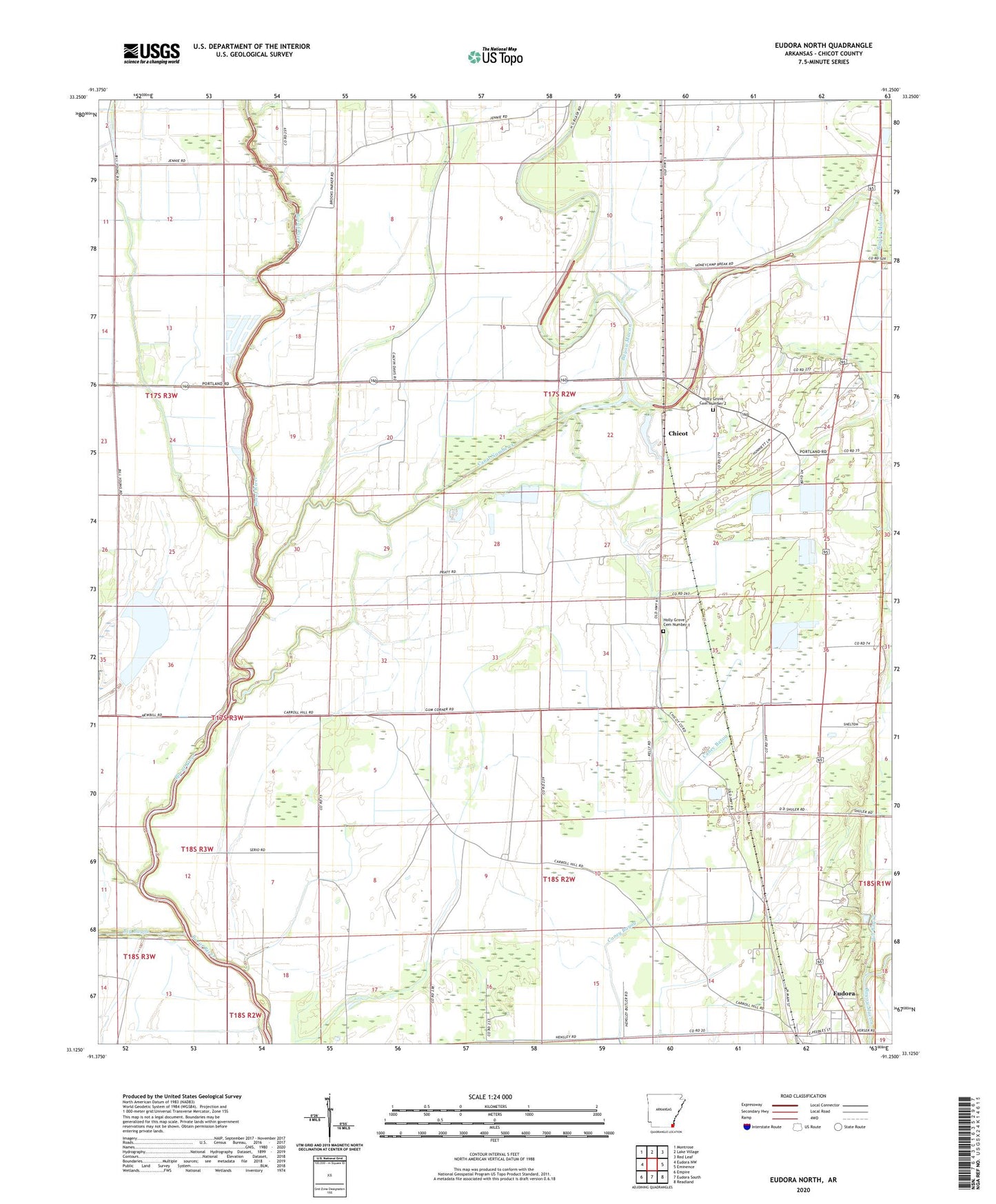
2024 topographic map quadrangle Eudora North in the state of Arkansas. Scale: 1:24000. Based on the newly updated USGS 7.5' US Topo map series, this map is in the following counties: Chicot. The map contains contour data, water features, and other items you are used to seeing on USGS maps, but also has updated roads and other features. This is the next generation of topographic maps. Printed on high-quality waterproof paper with UV fade-resistant inks.
Quads adjacent to this one:
West: Eudora NW
Northwest: Montrose
North: Lake Village
Northeast: Red Leaf
East: Eminence
Southeast: Readland
South: Eudora South
Southwest: Empire
This map covers the same area as the classic USGS quad with code o33091b3.
Contains the following named places: Bethel Church, Big Bayou, Bill Young Bayou, Canal Number 4, Chicot, Chicot Church, Chicot Junction, Crooked Bayou, Gum Corner, Hickory Ridge, Hill Bayou, Holly Grove Cemetery Number 1, Holly Grove Cemetery Number 2, Holly Grove Church Number 1, Holly Grove Church Number 2, Holly Ridge Church, Township of Planters, Union Church