MyTopo
Empire Arkansas US Topo Map
Couldn't load pickup availability
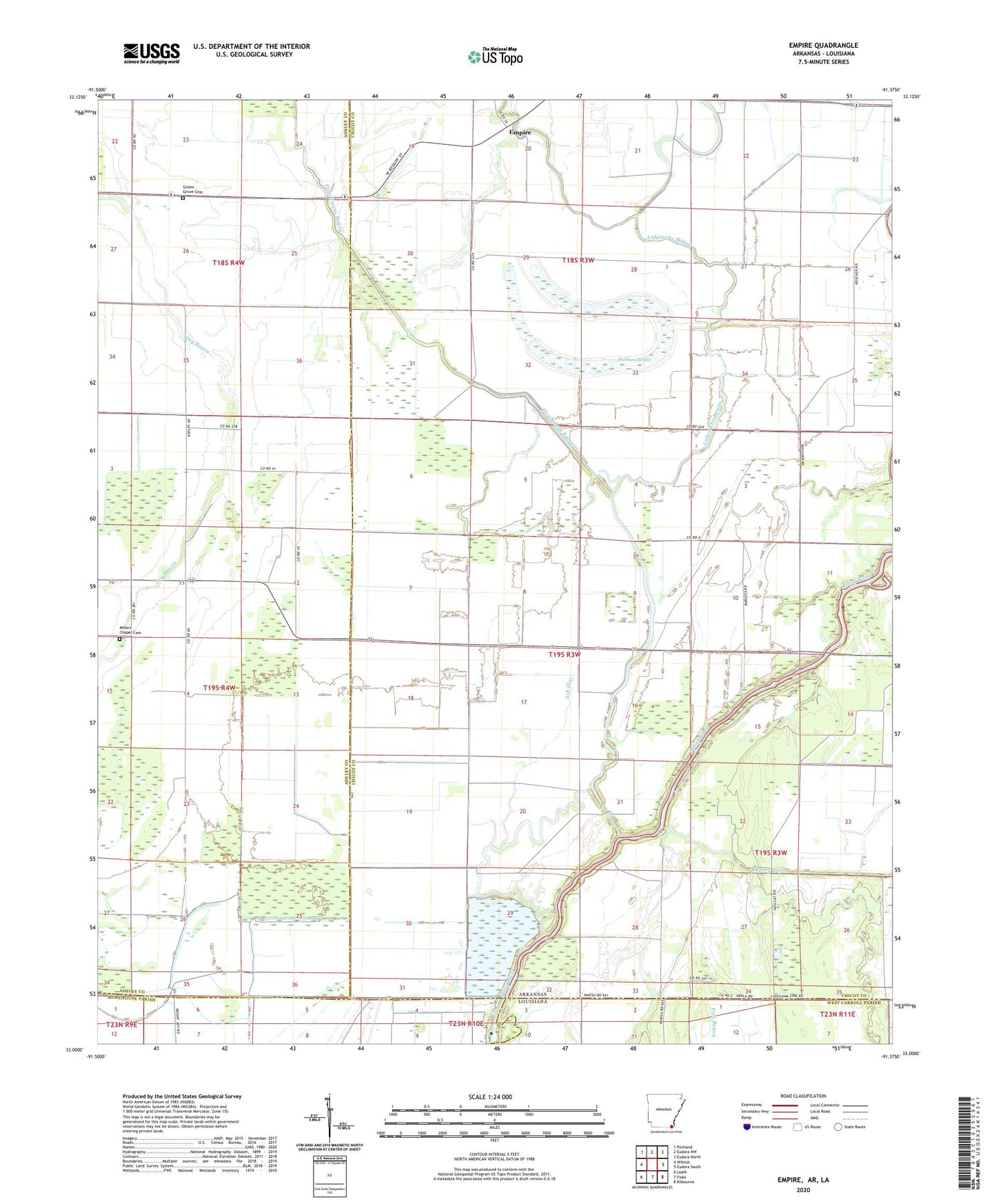
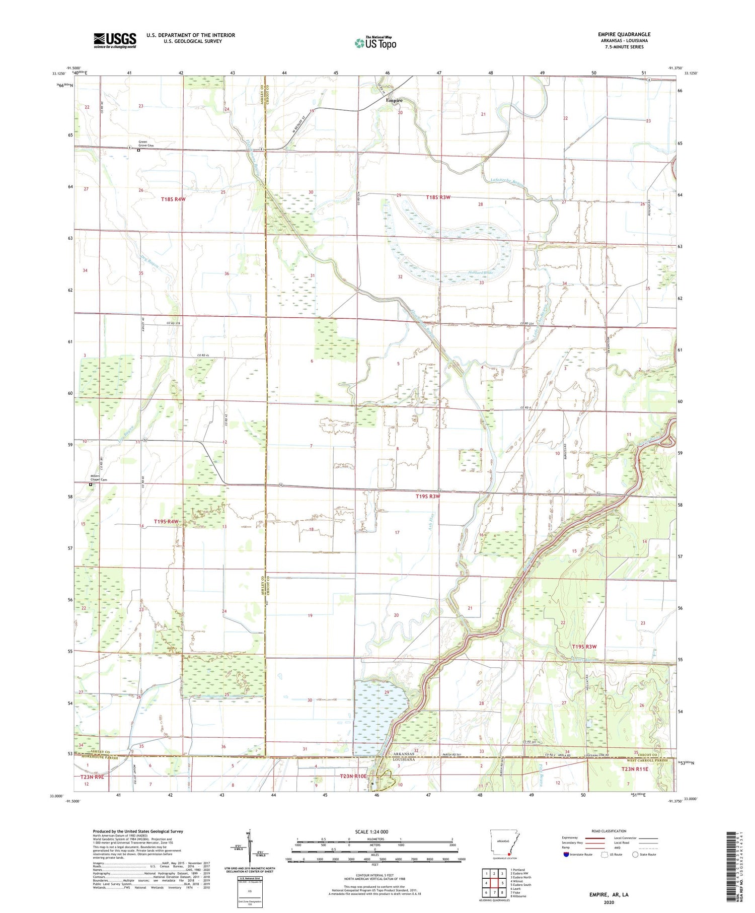
2024 topographic map quadrangle Empire in the state of Arkansas. Scale: 1:24000. Based on the newly updated USGS 7.5' US Topo map series, this map is in the following counties: Chicot, Ashley, Morehouse, West Carroll. The map contains contour data, water features, and other items you are used to seeing on USGS maps, but also has updated roads and other features. This is the next generation of topographic maps. Printed on high-quality waterproof paper with UV fade-resistant inks.
Quads adjacent to this one:
West: Wilmot
Northwest: Portland
North: Eudora NW
Northeast: Eudora North
East: Eudora South
Southeast: Kilbourne
South: Fiske
Southwest: Laark
Contains the following named places: Albritton, Ash Flat, Assembly of God Church, Boeuf River Swamp, Caney Bayou, Caney Canal, Empire, Fleschmans Bayou, Green Grove Cemetery, Green Grove Church, Holiness Church, Hubbard Brake, Lafourche Bayou, Lafourche Lake, Lee Chapel, Midway Church, Miller Chapel, Millers Chapel, Millers Chapel Cemetery, Oneil Store