MyTopo
Eudora NW Arkansas US Topo Map
Couldn't load pickup availability
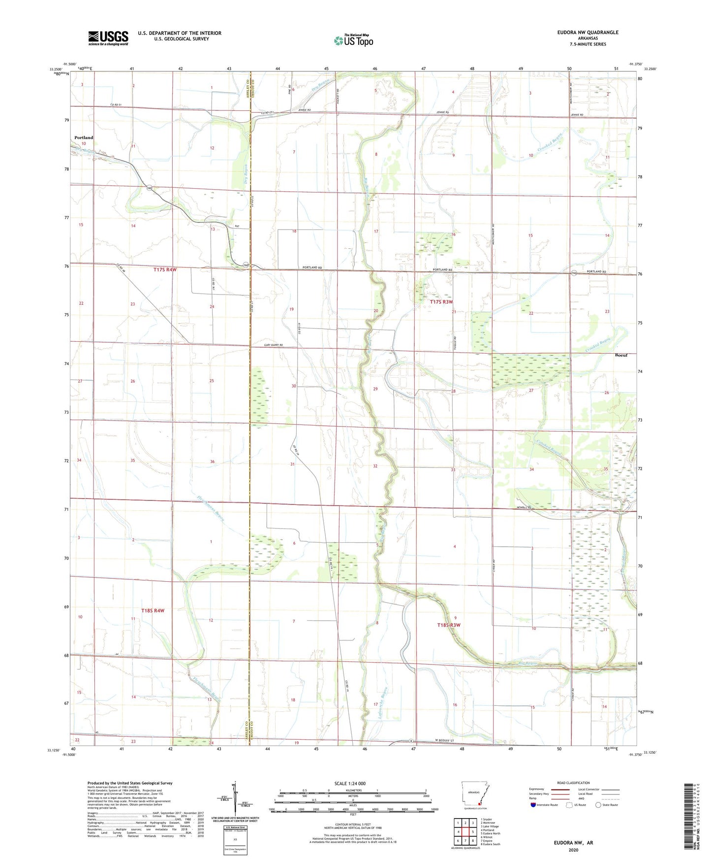
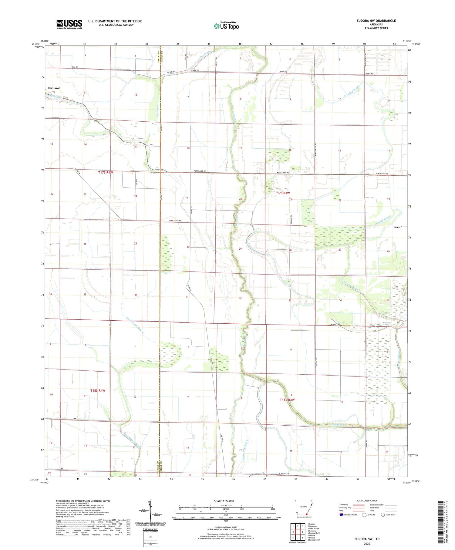
2024 topographic map quadrangle Eudora NW in the state of Arkansas. Scale: 1:24000. Based on the newly updated USGS 7.5' US Topo map series, this map is in the following counties: Chicot, Ashley. The map contains contour data, water features, and other items you are used to seeing on USGS maps, but also has updated roads and other features. This is the next generation of topographic maps. Printed on high-quality waterproof paper with UV fade-resistant inks.
Quads adjacent to this one:
West: Portland
Northwest: Snyder
North: Montrose
Northeast: Lake Village
East: Eudora North
Southeast: Eudora South
South: Empire
Southwest: Wilmot
This map covers the same area as the classic USGS quad with code o33091b4.
Contains the following named places: Aulds Church, Boeuf, Brown Chapel, Canal Number 2, Dry Bayou, Hogpen Creek, Jackson, Township of Masona, ZIP Code: 71663