MyTopo
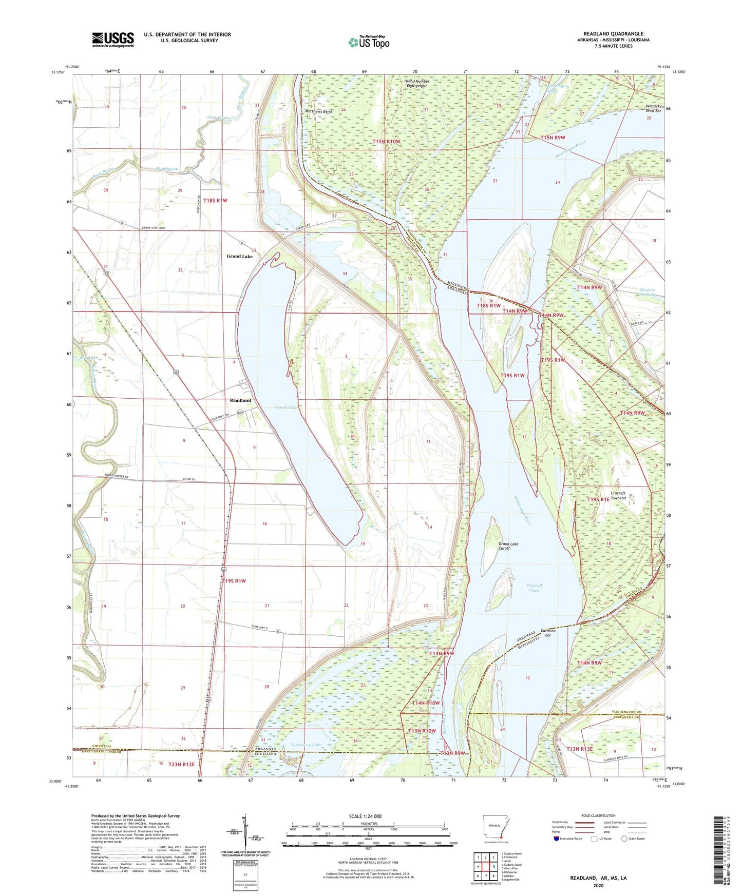
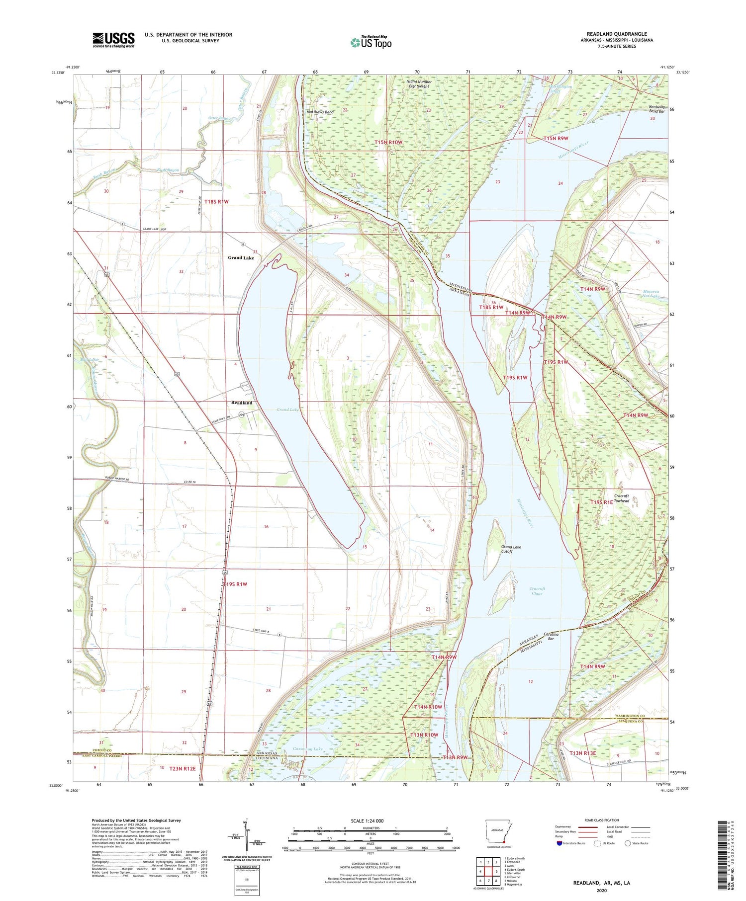
Readland Arkansas US Topo Map
Couldn't load pickup availability
2024 topographic map quadrangle Readland in the states of Arkansas, Mississippi. Scale: 1:24000. Based on the newly updated USGS 7.5' US Topo map series, this map is in the following counties: Chicot, Washington, Issaquena, East Carroll. The map contains contour data, water features, and other items you are used to seeing on USGS maps, but also has updated roads and other features. This is the next generation of topographic maps. Printed on high-quality waterproof paper with UV fade-resistant inks.
Quads adjacent to this one:
West: Eudora South
Northwest: Eudora North
North: Eminence
Northeast: Avon
East: Glen Allan
Southeast: Mayersville
South: Millikin
Southwest: Kilbourne
Contains the following named places: Ball Lake, Ball Lake Dam Number One, Blomey Shay Church, Bloomfield Church, Carolina Bar, Carolina Landing, Carriola Landing, Coal Landing, Cracraft Chute, Cracraft Dikes, Cracraft Landing, Cracraft Lower Dikes, Cracraft Revetment, Cracraft Towhead, Grand Lake, Grand Lake Cutoff, Grand Lake Landing, Island Number 89, Island Number Eightyeight, Lake Washington Landing, Leota Landing, Matthews Bend, Mount Holy Church, Readland, Readland Post Office, Rising Sun Church, Rush Bayou, Saint James Church, Saint Luke Church, Saint Paul Church, Snag Lake, Sterling, Sterling Landing, Sterling School, Township of Louisiana, Willow Lake, Worthington Cutoff


