MyTopo
Wilmot Arkansas US Topo Map
Couldn't load pickup availability
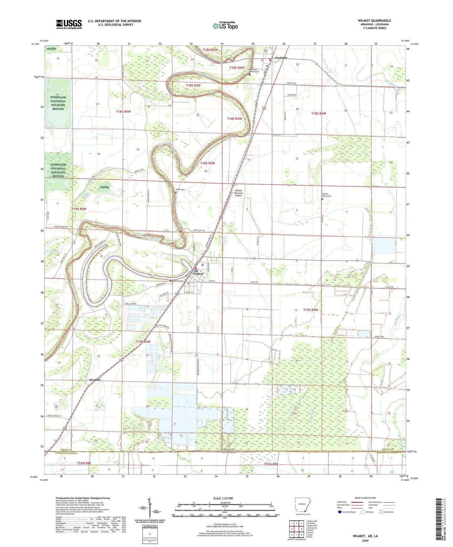
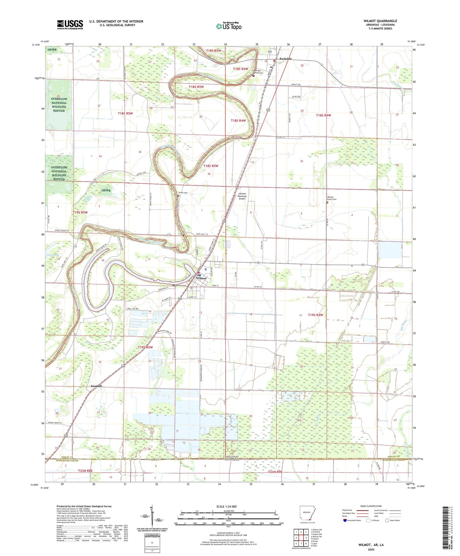
2024 topographic map quadrangle Wilmot in the states of Arkansas, Louisiana. Scale: 1:24000. Based on the newly updated USGS 7.5' US Topo map series, this map is in the following counties: Ashley, Morehouse. The map contains contour data, water features, and other items you are used to seeing on USGS maps, but also has updated roads and other features. This is the next generation of topographic maps. Printed on high-quality waterproof paper with UV fade-resistant inks.
Quads adjacent to this one:
West: Wilmot SW
Northwest: Wilmot NW
North: Portland
Northeast: Eudora NW
East: Empire
Southeast: Fiske
South: Laark
Southwest: Bonita
Contains the following named places: Bell Ferry, Camp Bayou Canal, Chiller Chapel, City of Parkdale, City of Wilmot, Coffee Bayou, Dry Bayou, Eatman Ferry, Farmer School, Gospel Temple, Johnson Memorial Airport, Keller Ferry, Kimball, Lake Enterprise, Parkdale, Parkdale Baptist Church, Parkdale Cemeteries, Parkdale Elementary School, Parkdale Fire Department, Parkdale Post Office, Pleasant Ridge Church, Savage High School, Slack-LeGrande High School, Small Fry Fish Farm, Smith Cemetery, Smith Ferry, Sweet Home Church, Thompson Chapel, Township of De Bastrop, Township of Wilmot, Union Church, Walkers Slough, Wilmot, Wilmot Cemetery, Wilmot Elementary School, Wilmot Police Department, Wilmot Post Office, Wilmot Volunteer Fire Department, Wonner Grove Cemetery, Zion Hill Church, ZIP Code: 71676