MyTopo
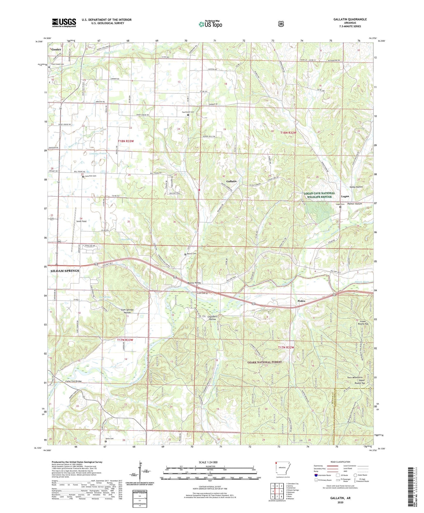
Gallatin Arkansas US Topo Map
Couldn't load pickup availability
Also explore the Gallatin Forest Service Topo of this same quad for updated USFS data
2024 topographic map quadrangle Gallatin in the state of Arkansas. Scale: 1:24000. Based on the newly updated USGS 7.5' US Topo map series, this map is in the following counties: Benton, Washington. The map contains contour data, water features, and other items you are used to seeing on USGS maps, but also has updated roads and other features. This is the next generation of topographic maps. Printed on high-quality waterproof paper with UV fade-resistant inks.
Quads adjacent to this one:
West: Siloam Springs
Northwest: Cherokee City
North: Gentry
Northeast: Centerton
East: Robinson
Southeast: Wheeler
South: Rhea
Southwest: Watts
This map covers the same area as the classic USGS quad with code o36094b4.
Contains the following named places: Belview School, Camp Ozark, Chambers Hollow, Chambers Spring Branch, Davis Cemetery, Fairmount, Fairmount Baptist Church, Fairmount Cemetery, Fairmount Community Hall, Fairmount School, Felker, Fisher Ford, Fisher Ford Bridge, Flint, Flint Creek Cemetery, Galey Hollow, Gallatin, Gallatin Fire Department, Gum Springs, Gum Springs Baptist Church, Gum Springs Hollow, Illinois Valley School, Lindsley Prairie, Logan, Logan Cave National Wildlife Refuge, Logan Cemetery, Logan Church, Logan Mill, Logan School, Logan Spring, Lone Elm, Lone Elm Cemetery, Lone Elm Church, Lone Elm School, Lower Round Top, Martin, Martin Cemetery, Martin Community Hall, Martin School, Martin Valley, Mason School, Mount Pleasant School, Osage Creek, Ozark Academy, Palmer Hollow, Pedro, Pleasant Grove School, Shady Grove Baptist Church, Shinn Spring, Smith Field, Township 13, Township of Ball, Township of Felker, Township of Logan, Township of Yell, Twin Mountains, Upper Round Top, Weddington Hiking Trail, ZIP Code: 72761