MyTopo
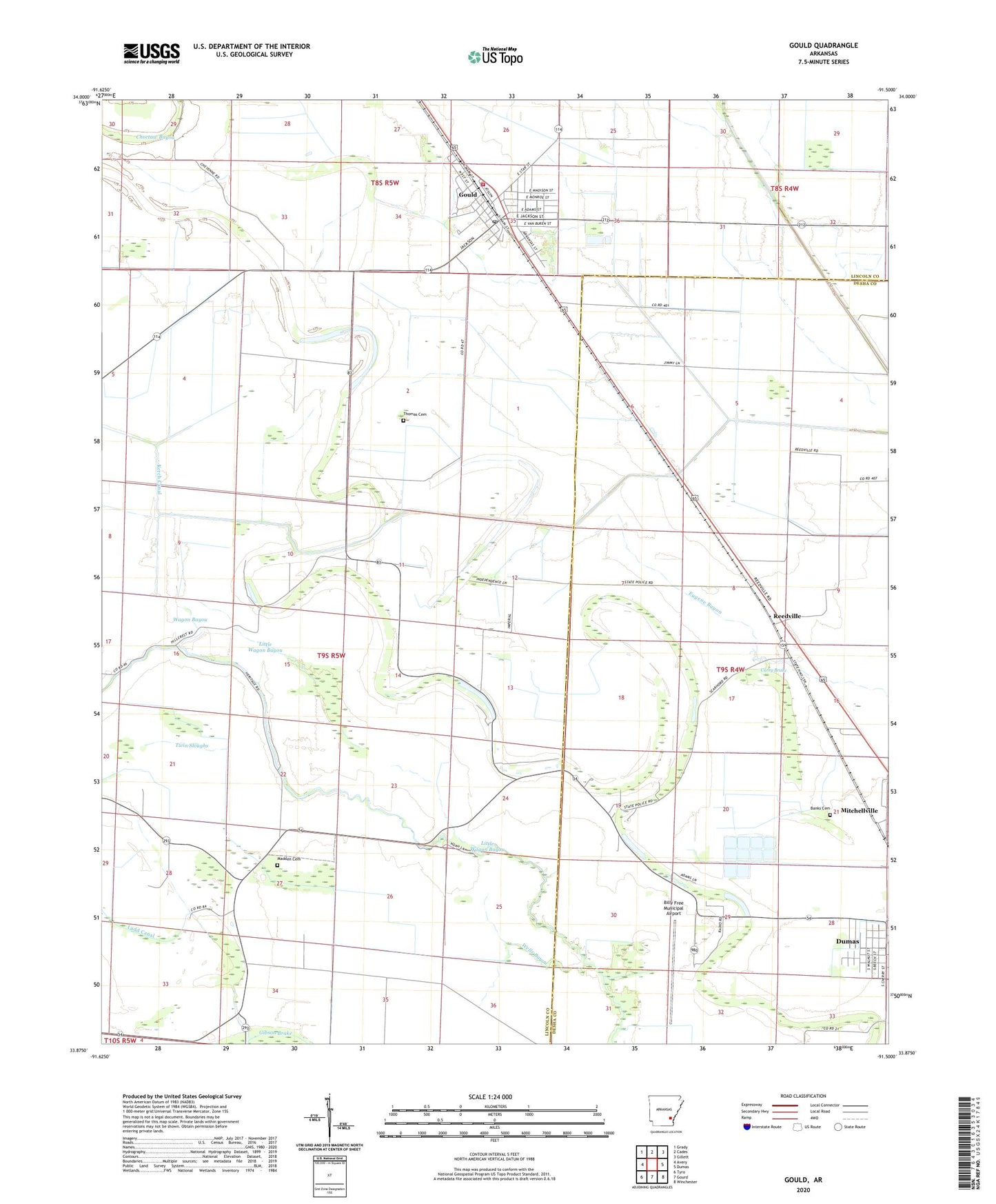
Gould Arkansas US Topo Map
Couldn't load pickup availability
2024 topographic map quadrangle Gould in the state of Arkansas. Scale: 1:24000. Based on the newly updated USGS 7.5' US Topo map series, this map is in the following counties: Lincoln, Desha. The map contains contour data, water features, and other items you are used to seeing on USGS maps, but also has updated roads and other features. This is the next generation of topographic maps. Printed on high-quality waterproof paper with UV fade-resistant inks.
Quads adjacent to this one:
West: Avery
Northwest: Grady
North: Cades
Northeast: Gillett
East: Dumas
Southeast: Winchester
South: Gourd
Southwest: Tyro
This map covers the same area as the classic USGS quad with code o33091h5.
Contains the following named places: Almetta Church, Bailey Chapel Church, Banks Cemetery, Billy Free Municipal Airport, Choctaw Bayou, City of Gould, Curry Brake, Dark Corner School, Dark Corners Church, Eugene Bayou, Flynn, Gibson Brake, Gould, Gould Elementary School, Gould Fire Department, Gould High School, Gould Middle School, Gould Police Department, Gould Post Office, Holthoff Reservoir, Hudson Landing Strip, KDDA-AM (Dumas), Kerch Canal, KXFE-FM (Dumas), Ladd Canal, Little Wagon Bayou, Madden Cemetery, Mayer Airport, Mills, Mount Moriah Church, Oems Free Gift Church, Parma, Rankin Chapel Baptist Church, Reedville, Reedville Airport, Reedville School, Rotan, Smyrna Missionary Baptist Church, Thomas Cemetery, Thomas Chapel, Township of Gould, Township of Randolph, Township of Wells Bayou, Twin Sloughs, Union Grove Church, Wagon Bayou, Watson Chapel, Wells Bayou, Wells Bayou School, Wells Chapel, West Dumas Church of God in Christ, ZIP Code: 71639


