MyTopo
Gourd Arkansas US Topo Map
Couldn't load pickup availability
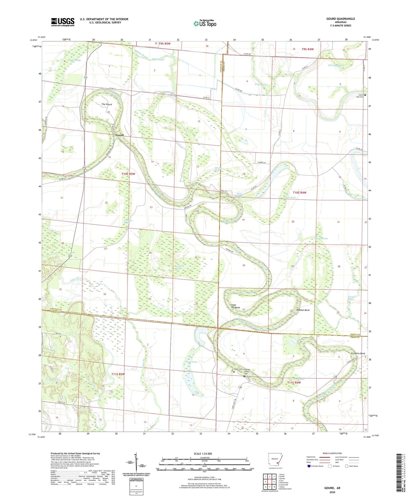
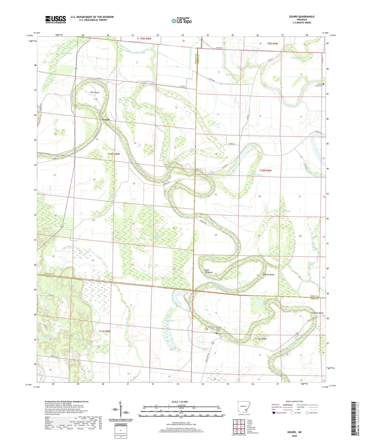
2024 topographic map quadrangle Gourd in the state of Arkansas. Scale: 1:24000. Based on the newly updated USGS 7.5' US Topo map series, this map is in the following counties: Lincoln, Desha, Drew. The map contains contour data, water features, and other items you are used to seeing on USGS maps, but also has updated roads and other features. This is the next generation of topographic maps. Printed on high-quality waterproof paper with UV fade-resistant inks.
Quads adjacent to this one:
West: Tyro
Northwest: Avery
North: Gould
Northeast: Dumas
East: Winchester
Southeast: McGehee North
South: Selma
Southwest: Collins NW
This map covers the same area as the classic USGS quad with code o33091g5.
Contains the following named places: Arrington Brake, Bear Slough, Belle Anderson Brake, Campbells Brake, Cooks Brake, Curtis Hall Cemetery, Cypress Grove Cemetery, Cypress Grove Church, Eastman Brake, Eureka School, Fletcher Brake, Gourd, Grissoms Bend, Jerusalem Church, Mills Slough, Morning Star Baptist Church, Mount Pisner Church, New Bethel Church, Orange Chapel, Palestine Church, Raddish Bend, Saint Pauls Church, Serene Church, Slide Off Bend, Taylor Cemetery, The Gourd, Township of Walnut Lake, Valley Brake, Valley Farm, Walnut Grove Church, Wilborn Brake, ZIP Code: 71662