MyTopo
Selma Arkansas US Topo Map
Couldn't load pickup availability
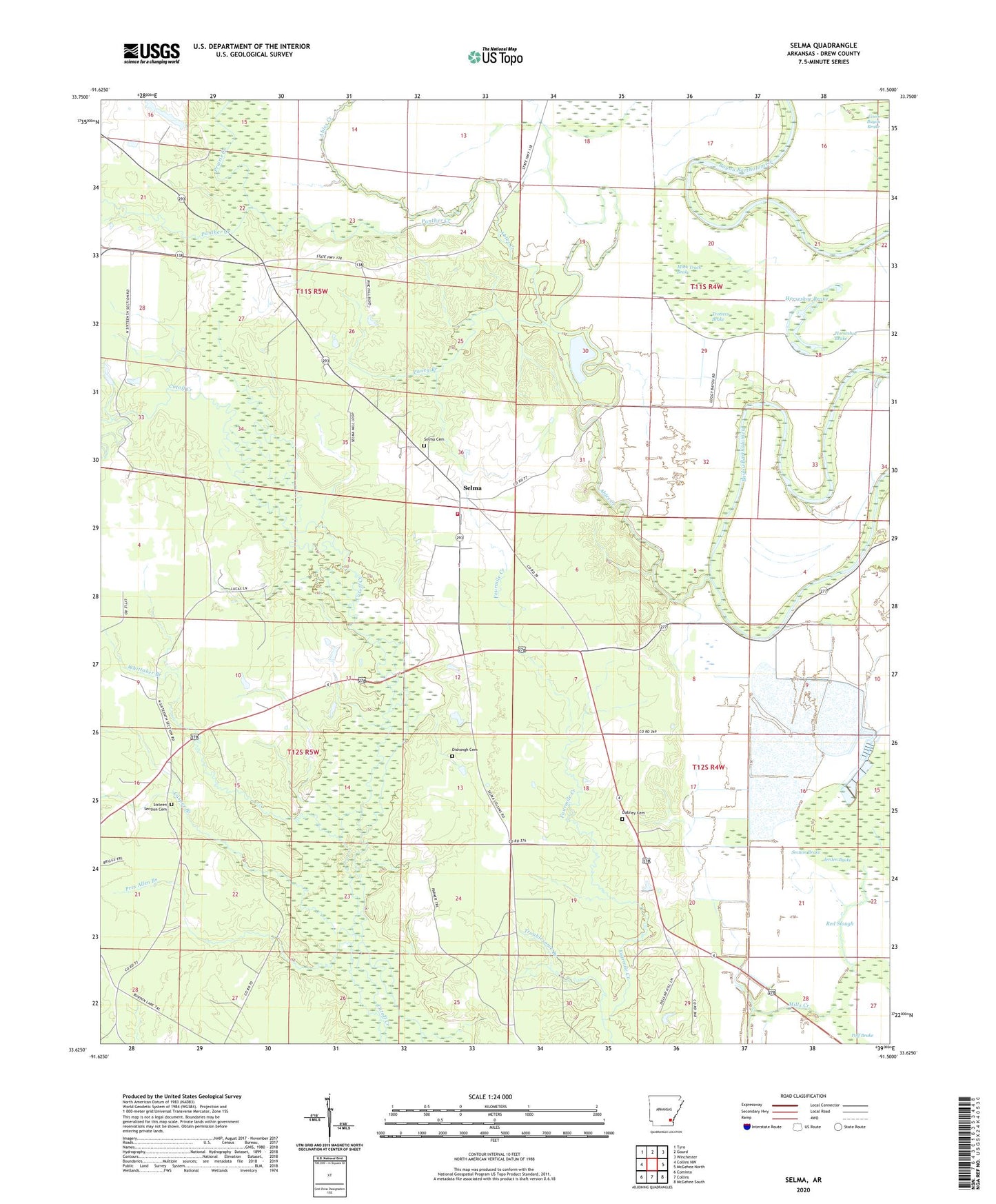
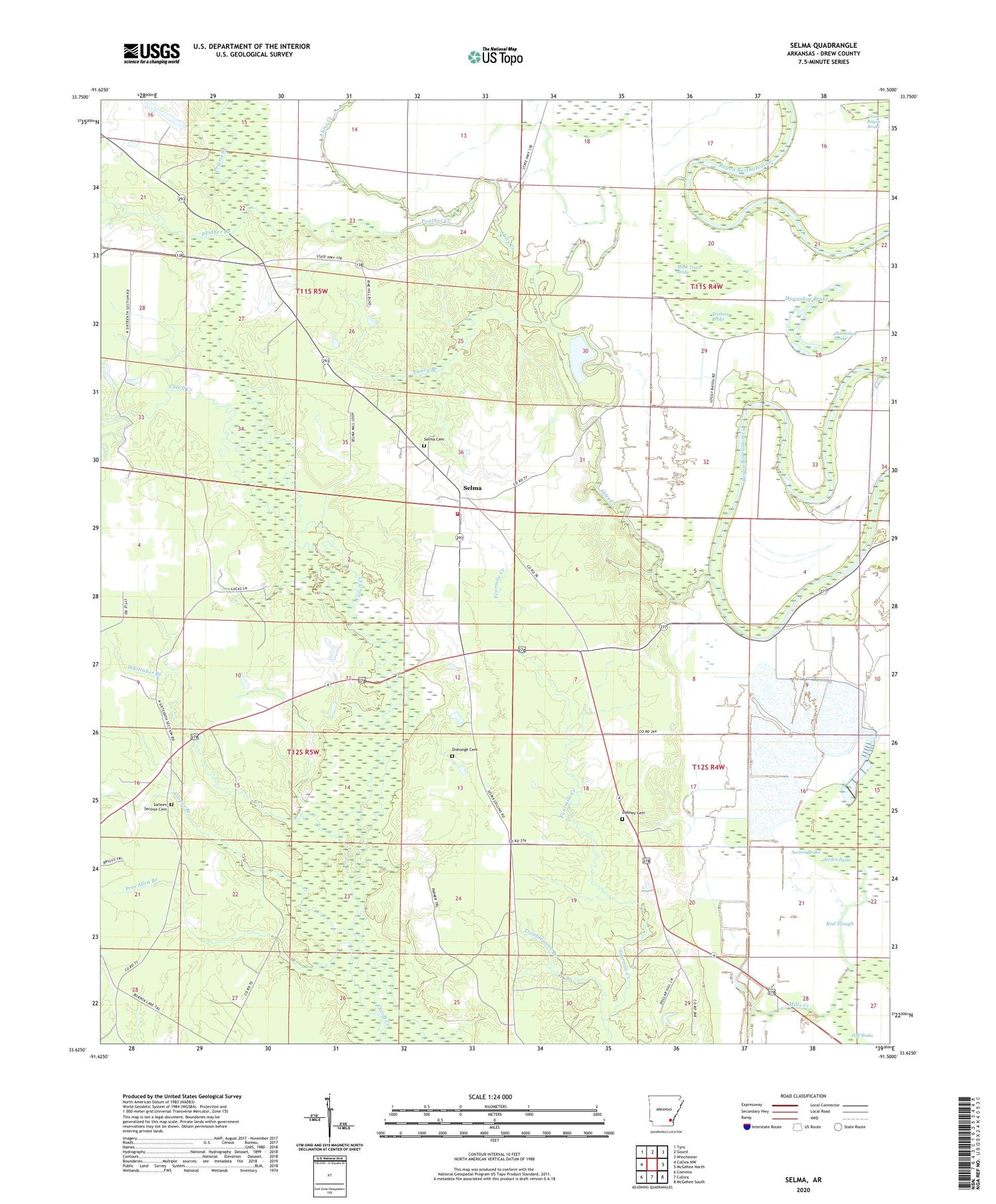
2024 topographic map quadrangle Selma in the state of Arkansas. Scale: 1:24000. Based on the newly updated USGS 7.5' US Topo map series, this map is in the following counties: Drew. The map contains contour data, water features, and other items you are used to seeing on USGS maps, but also has updated roads and other features. This is the next generation of topographic maps. Printed on high-quality waterproof paper with UV fade-resistant inks.
Quads adjacent to this one:
West: Collins NW
Northwest: Tyro
North: Gourd
Northeast: Winchester
East: McGehee North
Southeast: McGehee South
South: Collins
Southwest: Cominto
This map covers the same area as the classic USGS quad with code o33091f5.
Contains the following named places: Ables Creek, Caney Branch, Casper Branch, Dabney Cemetery, Dishongh Cemetery, Horseshoe Brake, Lower Cutoff Creek, Mink Track Brake, New Bethem Church, Oak Grove Methodist Episcopal Zion Church, Panther Creek, Poff Brake, Prairie Creek, Pres Allen Branch, Red Slough, Section Brake, Selma, Selma Cemetery African American, Selma Junior High School, Selma School, Selma Volunteer Fire Department, Sixteen Section Cemetery, Sixteenth Section, Sixteenth Section Missionary Baptist Church, Sweet Home Baptist Church, Township of Franklin, Township of Live Oak, Trotters Brake, Troublesome Branch, Upper Cutoff Creek, Wells Lake, Wells Lake Dam, Whittaker Branch


