MyTopo
Hunter West Arkansas US Topo Map
Couldn't load pickup availability
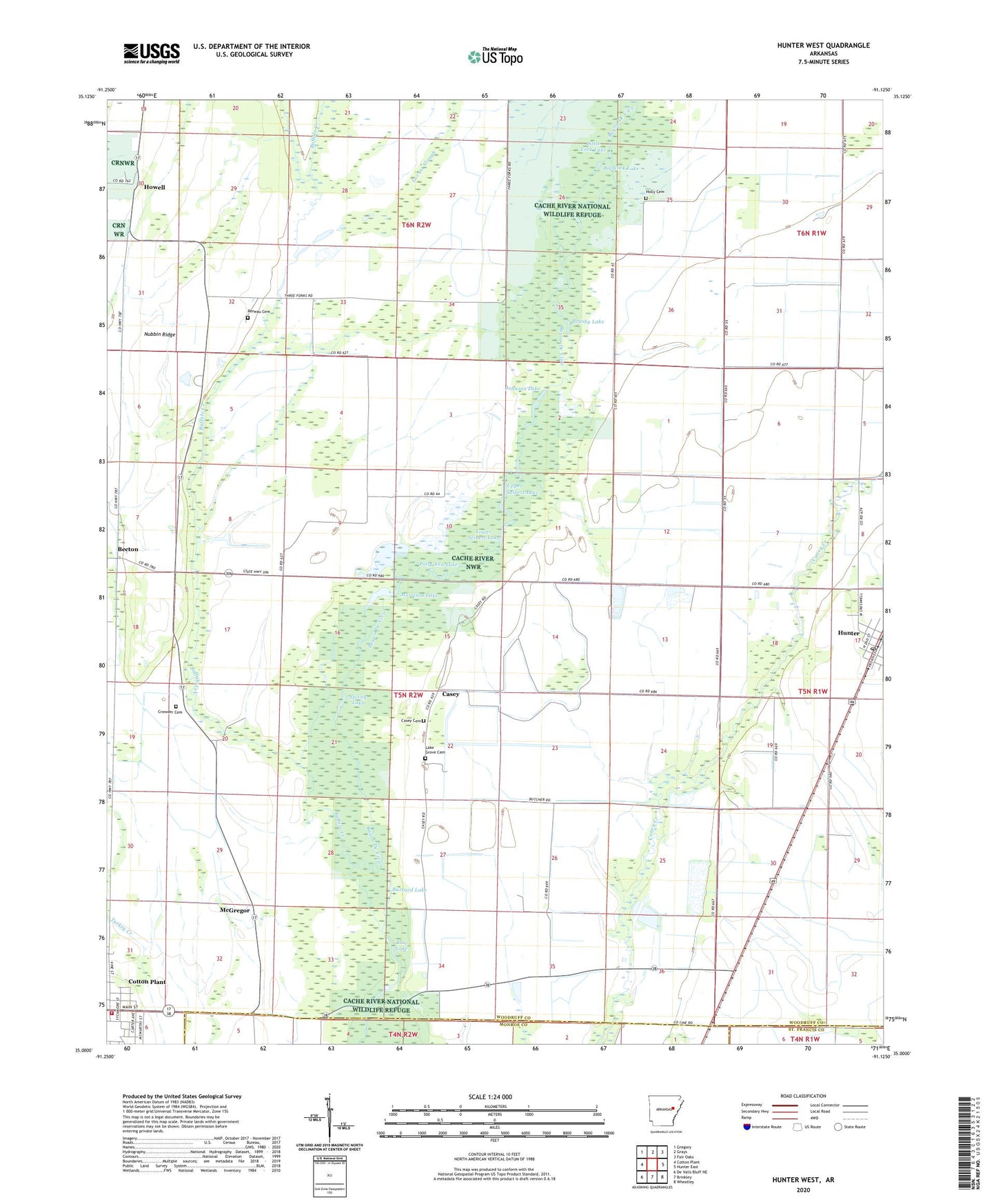
2024 topographic map quadrangle Hunter West in the state of Arkansas. Scale: 1:24000. Based on the newly updated USGS 7.5' US Topo map series, this map is in the following counties: Woodruff, Monroe, St. Francis. The map contains contour data, water features, and other items you are used to seeing on USGS maps, but also has updated roads and other features. This is the next generation of topographic maps. Printed on high-quality waterproof paper with UV fade-resistant inks.
Quads adjacent to this one:
West: Cotton Plant
Northwest: Gregory
North: Grays
Northeast: Fair Oaks
East: Hunter East
Southeast: Wheatley
South: Brinkley
Southwest: De Valls Bluff NE
This map covers the same area as the classic USGS quad with code o35091a2.
Contains the following named places: Becton, Big York Lake, Blue Lake, Brushy Lake, Buffalo Creek, Buzzard Lake, Casey, Casey Cemetery, Cotton Plant Volunteer Fire Department, Crowder Cemetery, Crowder Church, Four Forks, Holly Cemetery, Howell, Howell Post Office, Hunter, Hunter Post Office, Johnson Lake, Lake Grove Cemetery, Little York Lake, Locust Slough, Lower Seibert Lake, McGregor, Morrison Lake, Mount Zion Church, Nubbin Ridge, Oak Ridge Church, Polly Ann Lake, Reneau Cemetery, Spivey Lake, Union Church, Upper Seibert Lake