MyTopo
Marais Saline Arkansas US Topo Map
Couldn't load pickup availability
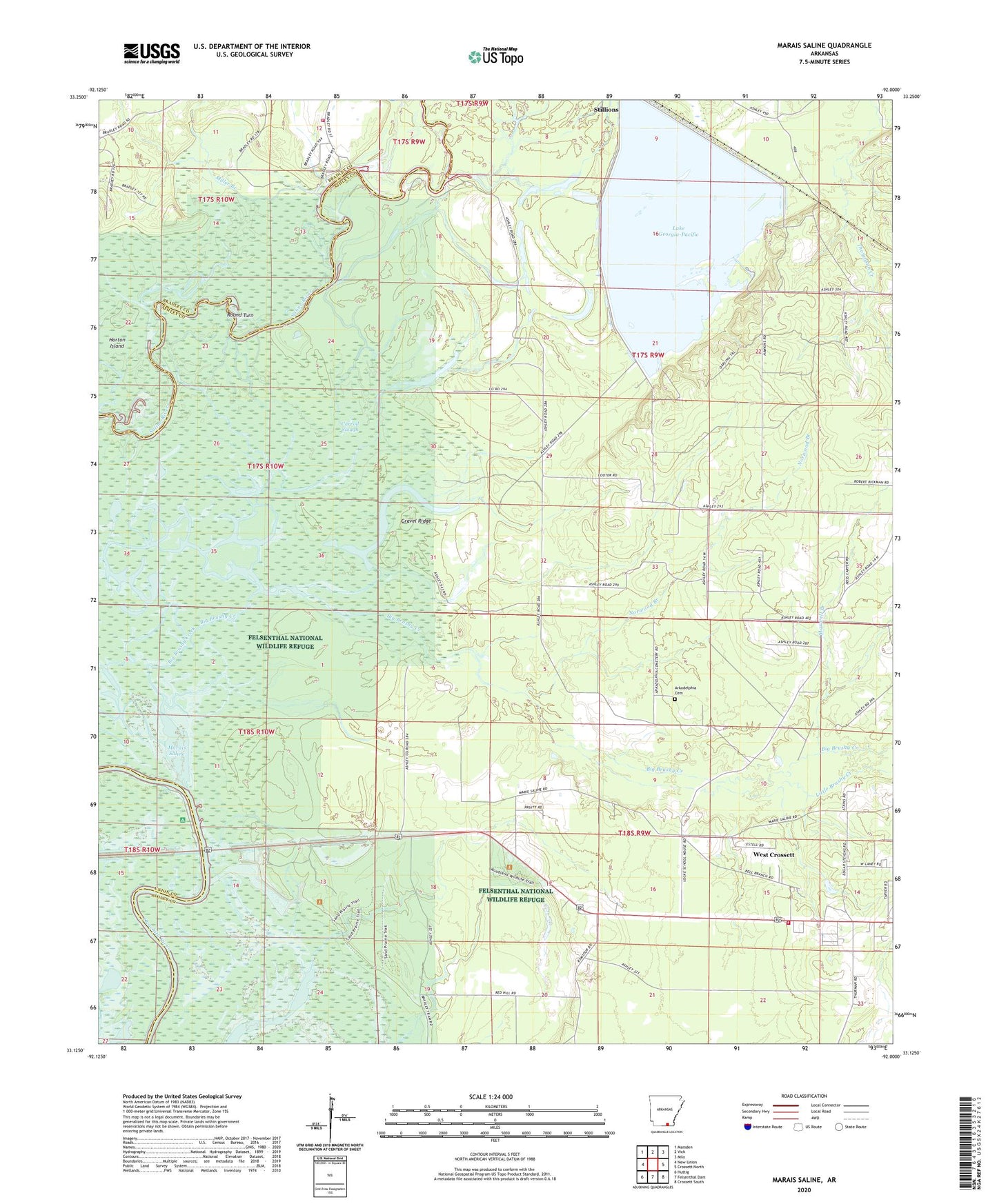
2024 topographic map quadrangle Marais Saline in the state of Arkansas. Scale: 1:24000. Based on the newly updated USGS 7.5' US Topo map series, this map is in the following counties: Ashley, Bradley, Union. The map contains contour data, water features, and other items you are used to seeing on USGS maps, but also has updated roads and other features. This is the next generation of topographic maps. Printed on high-quality waterproof paper with UV fade-resistant inks.
Quads adjacent to this one:
West: New Union
Northwest: Marsden
North: Vick
Northeast: Milo
East: Crossett North
Southeast: Crossett South
South: Felsenthal Dam
Southwest: Huttig
This map covers the same area as the classic USGS quad with code o33092b1.
Contains the following named places: Arkadelphia Cemetery, Bell Branch, Big Brushy Creek, Blanchton, Brushy Creek, Carroll Slough, Cooter School, Crossett Harbor Recreation Site, Felsenthal National Wildlife Refuge, Godfrey Landing, Godfrey Volunteer Fire Station, Gravel Ridge, Horton Island, Lake Georgia-Pacific, Lake Georgia-Pacific Dam, Little Brushy Creek, Locke School, Marais Saline, Marie Saline Landing, Maxwell Branch, Miller Branch, Norwood Branch, Round Turn, United States Fish and Wildlife Felsenthal National Wildlife Refuge Park Security, Wallace School, West Crossett Census Designated Place, West Crossett Fire Department