MyTopo
Troy Arkansas US Topo Map
Couldn't load pickup availability
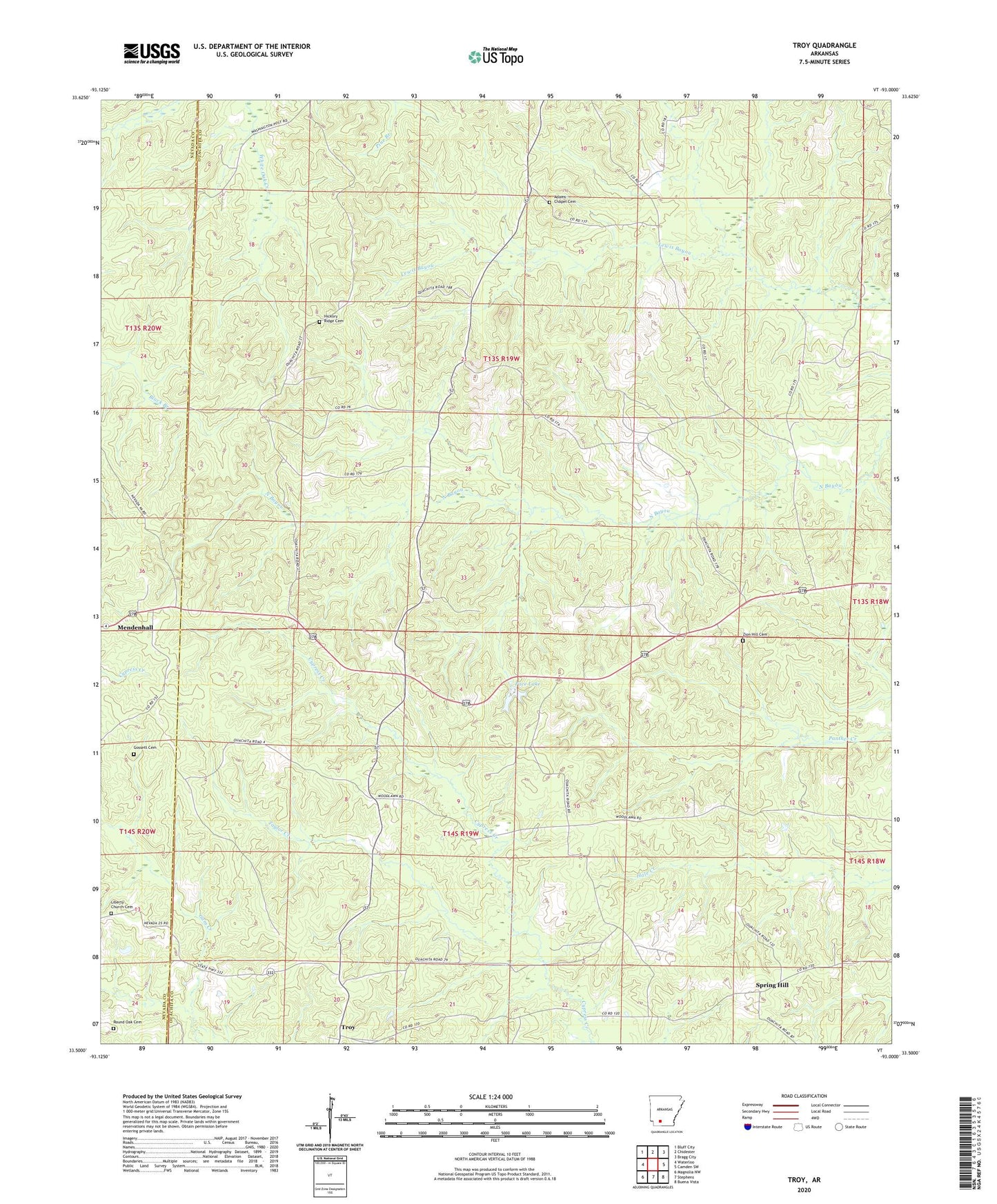
2024 topographic map quadrangle Troy in the state of Arkansas. Scale: 1:24000. Based on the newly updated USGS 7.5' US Topo map series, this map is in the following counties: Ouachita, Nevada. The map contains contour data, water features, and other items you are used to seeing on USGS maps, but also has updated roads and other features. This is the next generation of topographic maps. Printed on high-quality waterproof paper with UV fade-resistant inks.
Quads adjacent to this one:
West: Waterloo
Northwest: Bluff City
North: Chidester
Northeast: Bragg City
East: Camden SW
Southeast: Buena Vista
South: Stephens
Southwest: Magnolia NW
This map covers the same area as the classic USGS quad with code o33093e1.
Contains the following named places: Adams Chapel, Adams Chapel Cemetery, Antioch Church, Cross Roads Church, East Troy Oil Field, Gossett Cemetery, Hickory Ridge Cemetery, Hickory Ridge Church, Liberty Church, Liberty Church Cemetery, Pace Lake, Pace Lake Dam, Round Oak Cemetery, Saint Bethany Church, Silver Springs United Methodist Church, Spring Hill, Spring Hill Church, Taylor Creek, Township of Jefferson, Township of Liberty, Troy, Waters Chapel, Whites Chapel, Woodlawn, Woodlawn School, Zion Hill Cemetery, Zion Hill Church