MyTopo
Alberhill California US Topo Map
Couldn't load pickup availability
Also explore the Alberhill Forest Service Topo of this same quad for updated USFS data
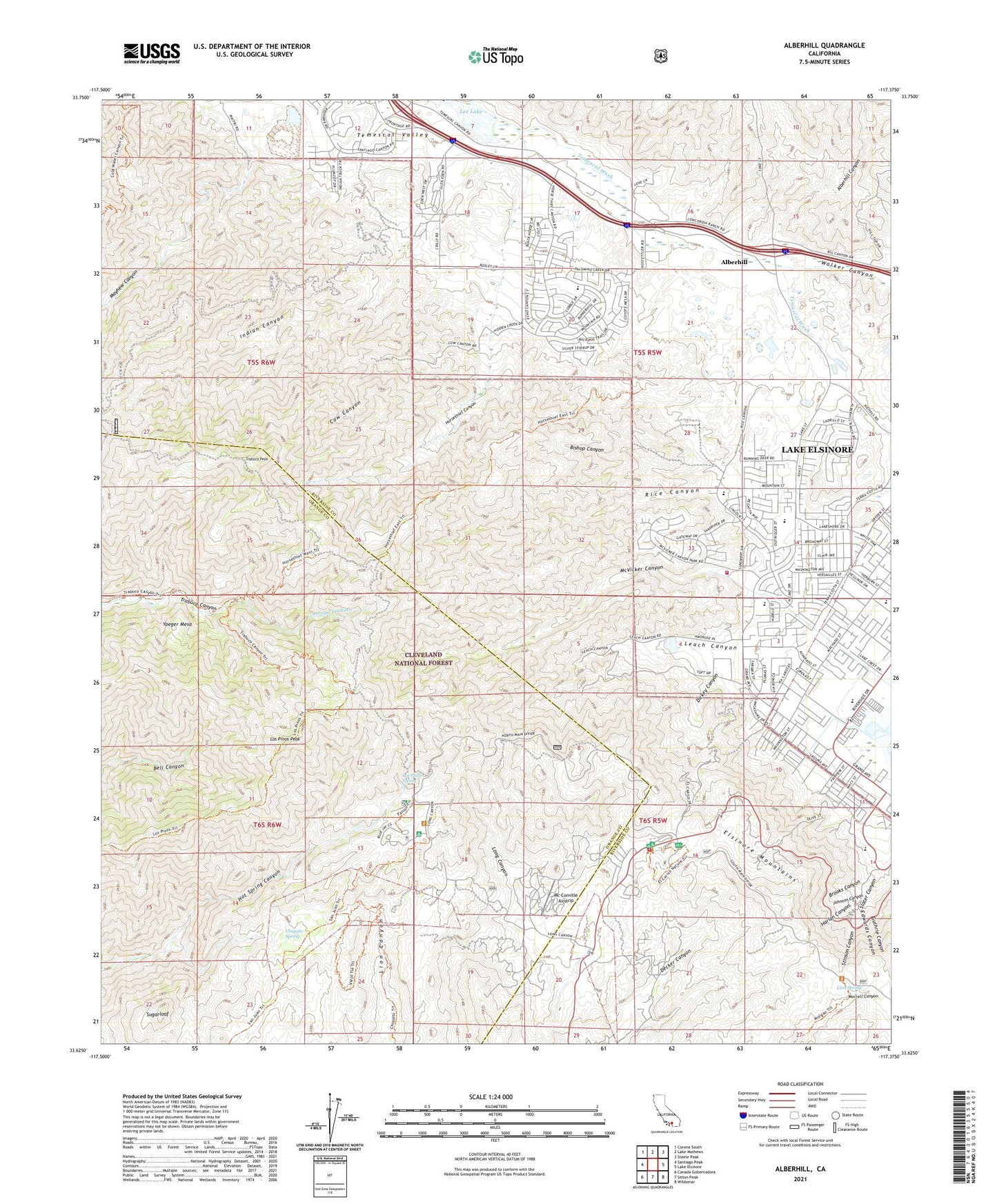
2021 topographic map quadrangle Alberhill in the state of California. Scale: 1:24000. Based on the newly updated USGS 7.5' US Topo map series, this map is in the following counties: Riverside, Orange. The map contains contour data, water features, and other items you are used to seeing on USGS maps, but also has updated roads and other features. This is the next generation of topographic maps. Printed on high-quality waterproof paper with UV fade-resistant inks.
Quads adjacent to this one:
West: Santiago Peak
Northwest: Corona South
North: Lake Mathews
Northeast: Steele Peak
East: Lake Elsinore
Southeast: Wildomar
South: Sitton Peak
Southwest: Canada Gobernadora
This map covers the same area as the classic USGS quad with code o33117f4.
Contains the following named places: Alberhill, Alberhill Canyon, Bishop Canyon, Blue Jay Campground, Blue Jay Trailhead, Brooks Canyon, Cariso Truck Trail, Chiquito Spring, Cow Canyon, Dickey Canyon, East Horsetheif Trail, Edwards Canyon, El Cariso Campground, El Cariso Guard Station, El Cariso Nature Trail, El Cariso Picnic Site, Falcon Campground, Falcon Trail, Fire Fighter Memorial Picnic Site, Guthrie Canyon, Harlan Canyon, Horsethief Canyon, Horsethief Trail, Indian Canyon, Indian Truck Trail, Johnson Canyon, Leach Canyon, Lee Lake, Lion Spring, Los Pinos Peak, Los Pinos Spring, Machado Elementary School, Machado Park, Main Divide Truck Trail, Mayhew Canyon, Mc Conville Airstrip, McConville Nudist Camp, McVicker Canyon, McVicker Park, Morgan Trailhead, Mountain Avenue Pit Number 2, Mountainside Ministries, Oak Tree Park, Old Dominion Mine, Ortega High School, Potrero El Cariso, Potrero Los Pinos, Rice Canyon, Riverside County Fire Department Station 51, Riverside County Fire Department Station 85 - McVicker Park, Slater Canyon, Stinson Canyon, Sugarloaf, Summer Lake Park, Terra Cotta Middle School, Trabuco Canyon Trail, Trabuco Peak, Viejo Tie Trail, Walker Canyon, West Horsethief Trail, Withrow Elementary School, Yaeger Mesa, ZIP Codes: 92530, 92883


