MyTopo
Lake Elsinore California US Topo Map
Couldn't load pickup availability
Also explore the Lake Elsinore Forest Service Topo of this same quad for updated USFS data
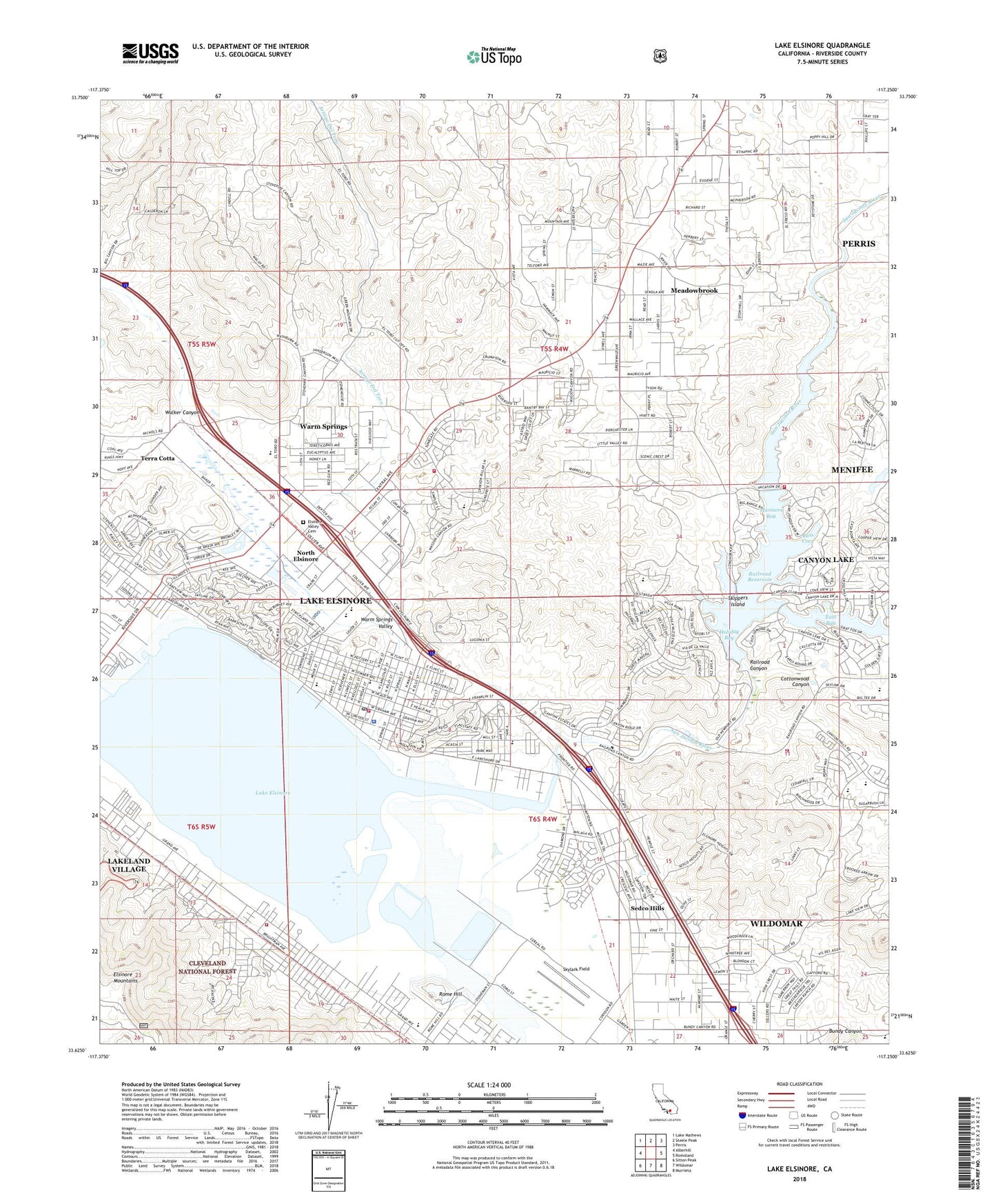
2022 topographic map quadrangle Lake Elsinore in the state of California. Scale: 1:24000. Based on the newly updated USGS 7.5' US Topo map series, this map is in the following counties: Riverside. The map contains contour data, water features, and other items you are used to seeing on USGS maps, but also has updated roads and other features. This is the next generation of topographic maps. Printed on high-quality waterproof paper with UV fade-resistant inks.
Quads adjacent to this one:
West: Alberhill
Northwest: Lake Mathews
North: Steele Peak
Northeast: Perris
East: Romoland
Southeast: Murrieta
South: Wildomar
Southwest: Sitton Peak
This map covers the same area as the classic USGS quad with code o33117f3.
Contains the following named places: A Small World for Little People Day Care Center, American Medical Response Canyon Lake, American Medical Response South Elsinore, Arroyo Del Toro, Bass Cove, Bundy Canyon, Bundy Canyon Christian School, Butterfield Elementary School, Canyon Academy, Canyon Lake, Canyon Lake Branch Riverside City and County Public Library, Canyon Lake Chamber of Commerce, Canyon Lake Country Club, Castle Lake School, City of Canyon Lake, City of Lake Elsinore, Cottonwood Canyon, Durant Siding, East Bay, Elsinore Christian Center, Elsinore Elementary School, Elsinore Middle School, Elsinore Valley Cemetery, Elsinore Valley Regional Sewage Treatment Plant, Evangelical Seventh Day Baptist Church, Faith Tabernacle, First Christian Church, First Lutheran Church, First Southern Baptist Church, Gediman Park, Good Hope Mine, Hammack Ranch, Holiday Bay, Hope Learning Academy, Independent Church, Jean Hayman Elementary School, La Laguna, Lake Community Center, Lake Elsinore, Lake Elsinore Baptist Church, Lake Elsinore Branch Riverside City and County Public Library, Lake Elsinore Chamber of Commerce, Lake Elsinore City Hall, Lake Elsinore Diamond Stadium, Lake Elsinore Post Office, Lake Elsinore Square Shopping Center, Lake Elsinore Town Center Shopping Center, Lake Providence Baptist Church, Lakeland Childrens Center, Lakeland Village, Lakeland Village Census Designated Place, Lakepoint Park, Mariners Bay, Meadowbrook Census Designated Place, Mission Trail Plaza Shopping Center, Mission Valley Medical Center, North Elsinore, Quail Valley 829 Dam, Railroad Canyon, Railroad Canyon 818 Dam, Railroad Canyon Elementary School, Railroad Reservoir, Riverside County Fire Department Station 10 - Elsinore, Riverside County Fire Department Station 11 - Lakeland Village, Riverside County Fire Department Station 60 - Canyon Lake, Riverside County Fire Department Station 94 - Canyon Hills, Riverside County Sheriff's Department - Lake Elsinore, Rome Hill, Rome Hill Lookout, Saint Andrews Episcopal Church, Saint Francis of Rome Catholic Church, San Jacinto River, Sedco Hills, Sedco Hills Census Designated Place, Shoppers Square Shopping Center, Sierra Park, Skippers Island, Skylark Airport, Summerhill Park, Swick and Matich Park, Temescal Canyon High School, Terra Cotta, Tuscany Hills Community Park, Tuscany Hills Elementary School, Vineyard Christian Fellowship Church, Warm Springs Census Designated Place, Warm Springs Valley, Yarborough Park, ZIP Codes: 92532, 92587


