MyTopo
Wildomar California US Topo Map
Couldn't load pickup availability
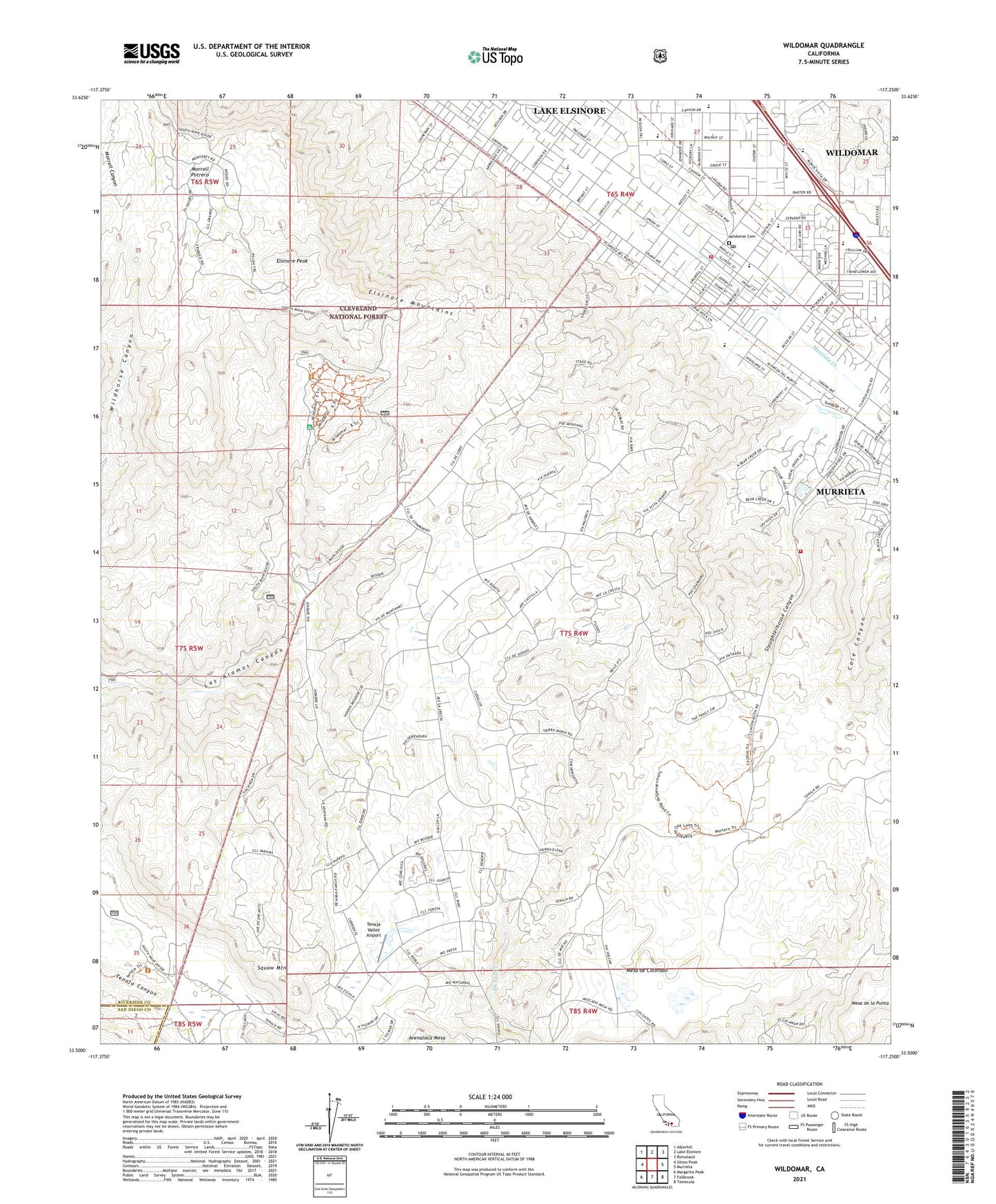
2023 topographic map quadrangle Wildomar in the state of California. Scale: 1:24000. Based on the newly updated USGS 7.5' US Topo map series, this map is in the following counties: Riverside, San Diego. The map contains contour data, water features, and other items you are used to seeing on USGS maps, but also has updated roads and other features. This is the next generation of topographic maps. Printed on high-quality waterproof paper with UV fade-resistant inks.
Quads adjacent to this one:
West: Sitton Peak
Northwest: Alberhill
North: Lake Elsinore
Northeast: Romoland
East: Murrieta
Southeast: Temecula
South: Fallbrook
Southwest: Margarita Peak
This map covers the same area as the classic USGS quad with code o33117e3.
Contains the following named places: Adobe Loop Trail, American Medical Response Wildomar, Anne Sullivan Nursery and Kindergarten, Bear Creek Golf and Country Club, City of Wildomar, Cornerstone Christian School, Donald Graham Elementary School, Elsinore High School, Elsinore Mountains, Elsinore Peak, Elsinore Valley Division, Faith Baptist Academy, Faith Baptist Church, La Cresta, La Cresta Highlands, Los Alamos Ranch, Los Alamos Truck Trail, Meadows Lake, Mesa de Colorado, Mesa de la Punta, Mission Valley Medical Center, Morrell Potrero, Morrell Ranch, Ortega High School, Rancho Santa Rosa Historic Area, Riverside County Bear Creek Forest Service Station, Riverside County Fire Department Station 61 Wildomar, Riverside County Fire Department Station 74 Rancho Capistrano, Riverside County Fire Department Station 75 - Bear Creek, Santa Rosa, Santa Rosa Ranch, Santa Rosa Ranch Trail, Santa Rosa South, Santa Rosa West, Slaughterhouse Canyon, Squaw Mountain, Sylvan Meadows, Tenaja Guard Station, Tenaja Valley Airport, Wildomar, Wildomar Campground, Wildomar Cemetery, Wildomar Census Designated Place, Wildomar Elementary School, Wildomar Post Office, Wildomar Trailhead, Wildomar Truck Trail, Wolfranch Heliport, ZIP Codes: 92562, 92595


